Huntsville in Madison County, Alabama — The American South (East South Central)
Making the Water Work
Huntsville Water Trail
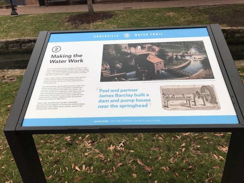
Then in 1823, Pope commissioned a man named Hunter Peel to build a pump house to move water from the spring up to the growing town of Twickenham.
Peel and partner James Barclay built a dam and pump house near the springhead, connecting a series of hollowed-out cedar log “pipes” up from the spring to a reservoir in the town square. The new system provided the town with fresh water and, along with a man-made waterfall and hydroelectric engine, helped power businesses and pump water to fight fires.
Pope, Peel, and Barclay's system ultimately became the foundation of Huntsville Utilities Water Department, the oldest water system west of the Appalachian Mountains.
Peel and partner James Barclay built a dam and pump house near the springhead
Caption: "The Big Spring” by William Frye, 1850's.Permission granted by Huntsville Madison County Public Library and Archives
Erected by Huntsville Utilities. (Marker Number 2.)
Topics. This historical marker is listed in these topic lists: Charity & Public Work • Industry & Commerce • Settlements & Settlers • Waterways & Vessels. A significant historical year for this entry is 1823.
Location. 34° 43.752′ N, 86° 35.223′ W. Marker is in Huntsville, Alabama, in Madison County. Marker can be reached from Fountain Circle Southwest near West Side Square. Located along a pedestrian path in Big Spring Park. Touch for map. Marker is in this post office area: Huntsville AL 35801, United States of America. Touch for directions.
Other nearby markers. At least 8 other markers are within walking distance of this marker. Where Does the Spring Water Go? (a few steps from this marker); Northern Terminus Indian Creek Canal (within shouting distance of this marker); History at Its Source (within shouting distance of this marker); The Spring Runs Its Course (within shouting distance of this marker); Huntsville Utilites Special Awards (within shouting distance of this marker); The Big Spring (within shouting distance of this marker); Huntsville (about 300 feet away, measured in a direct line); The Big Spring of Today (about 300 feet away). Touch for a list and map of all markers in Huntsville.
Related markers. Click here for a list of markers that are related to this marker.
Credits. This page was last revised on January 4, 2022. It was originally submitted on February 18, 2021, by Duane and Tracy Marsteller of Murfreesboro, Tennessee. This page has been viewed 203 times since then and 19 times this year. Photo 1. submitted on February 18, 2021, by Duane and Tracy Marsteller of Murfreesboro, Tennessee.
Editor’s want-list for this marker. Wide shot of marker and its surroundings. • Can you help?
