Near Clark in Park County, Wyoming — The American West (Mountains)
Red Lodge Freight Road
Inscription.
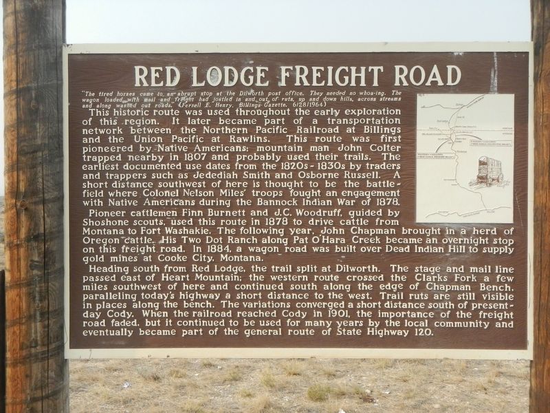
"The tired horses came to an abrupt stop at the Dilworth post office. The needed no whoa-ing. The wagon loaded with mail and freight had jostled in and out of ruts, up and down hills, across streams and along washed out roads." (Fernell E. Henry, Billings Gazette 6/28/1964)
This historic route was used throughout the early exploration of this region. It later became part of a transportation network between the Northern Pacific Railroad at Billings and the Union Pacific at Rawlins. This route was first pioneered by Native Americans; mountain man John Colter trapped nearby in 1807 and probably used their trails. The earliest documented use dates from the 1820s-1830s by traders and trappers such as Jedediah Smith and Osborne Russell. A short distance southwest of here is thought to be the battlefield were Colonel Nelson Miles' troops fought an engagement with Native Americans during the Bannock Indian War of 1878.
Pioneer cattlemen Finn Burnett and J.C. Woodruff, guided by Shoshone scouts, used this route in 1878 to drive cattle from Montana to Fort Washakie. The following year, John Chapman brought a herd of Oregon cattle. His Two Dot Ranch along Pat O'Hara Creek became an overnight stop on this freight road. In 1884, a wagon road was built over Dead Indian Hill to supply gold mines at Cooke City, Montana.
Heading south from Red Lodge, the trails was split at Dilworth. The stage and mail line passed east of Heart Mountain; the western route crossed the Clarks Fork a few miles southwest of here and continued south along the edge of Chapman Bench, paralleling today's highway a short distance to the west. Trail ruts are still visible in places along the bench. The variations converged a short distance south of present-day Cody. When the railroad reached Cody in 1901, the importance of the freight road faded, but it continued to be used for many year by the local community and eventually became part of the general route of State Highway 120.
Erected by Montana Department of Transportation.
Topics. This historical marker is listed in this topic list: Roads & Vehicles.
Location. 44° 52.568′ N, 109° 7.694′ W. Marker is near Clark, Wyoming, in Park County. Marker is on Belfry Highway (State Highway 120) near State Highway 292, on the right when traveling south. Touch for map. Marker is in this post office area: Powell WY 82435, United States of America. Touch for directions.
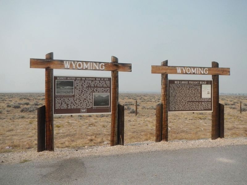
Other nearby markers. At least 3 other markers are within 2 miles of this marker, measured as the crow flies. Bennet Buttes and the Bannock War of 1878 (here, next to this marker); Nez Perce Trail (approx. 1˝ miles away); The Nez Perce Conflict of 1877 (approx. 1˝ miles away).
Credits. This page was last revised on February 19, 2021. It was originally submitted on February 19, 2021, by Barry Swackhamer of Brentwood, California. This page has been viewed 185 times since then and 16 times this year. Photos: 1, 2. submitted on February 19, 2021, by Barry Swackhamer of Brentwood, California.

