Sopchoppy in Wakulla County, Florida — The American South (South Atlantic)
Ochlockonee River State Park
Side 1
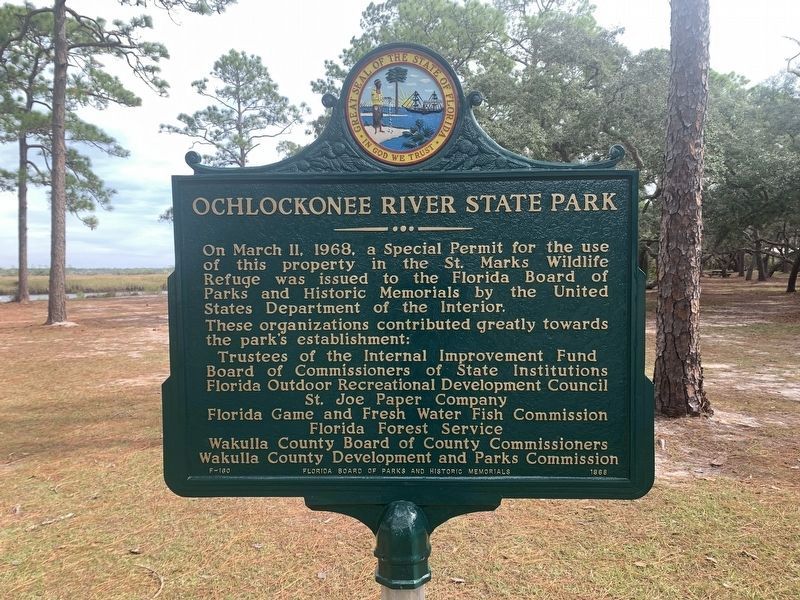
On March 11, 1968, a Special Permit for the use of this property in the St. Marks Wildlife Refuge was issued to the Florida Board of Parks and Historic Memorials by the United States Department of the Interior. These organizations contributed greatly towards the park's establishment:
Trustees of the Internal Improvement Fund
Board of Commissioners of State Institutions
Florida Outdoor Recreational Development Council
St. Joe Paper Company
Florida Game and Fresh Water Fish Commission
Florida Forest Service
Wakulla County Board of County Commissioners
Wakulla County Development and Parks Commission
Side 2
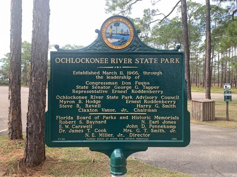
Established March 11, 1966, through the leadership of
Congressman Don Fuqua
State Senator George G. Tapper
Representative Ernest Roddenberry
-----------------------------------------------
Ochlockonee River State Park Advisory Council
Myron B. Hodge
Steve R. Revell
Ernest Roddenberry
Harry G. Smith
Claxton Vause, Jr., Chairman
-----------------------------
Florida Board of Parks and Historic Memorials
Robert S. Baynard
E.W. Carswell
Dr. James T. Cook
N. Earl Jones
John D. Pennekamp
Mrs. G.T. Smith, Jr.
N.E. Miller, Jr., Director
Erected 1968 by Florida Board of Parks and Historic Memorials. (Marker Number F-160.)
Topics. This historical marker is listed in this topic list: Parks & Recreational Areas. A significant historical date for this entry is March 11, 1968.
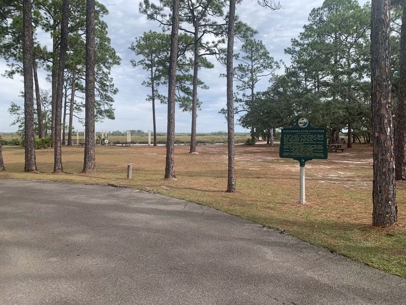
Location. 30° 0.253′ N, 84° 28.309′ W. Marker is in Sopchoppy, Florida, in Wakulla County. Marker can be reached from State Park Road, 1˝ miles east of Sopchoppy Highway (U.S. 319). Located in Ochlockonee River State Park near the Tide Creek Picnic Shelter. Touch for map. Marker is at or near this postal address: 429 State Park Rd, Sopchoppy FL 32358, United States of America. Touch for directions.
Other nearby markers. At least 8 other markers are within 16 miles of this marker, measured as the crow flies. Old Sopchoppy High School (approx. 4 miles away); Camp Gordon Johnston (approx. 11˝ miles away); Old Wakulla County Courthouse (approx. 13.1 miles away); Old Wakulla County Jail (approx. 13.2 miles away); Carabelle Town Center (approx. 15.7 miles away); World's Smallest Police Station (approx. 15.7 miles away); Marvin N. Justiss Building (approx. 15.7 miles away); The Legend of Tate's Hell (approx. 15.7 miles away).
Also see . . . Ochlockonee River State Park. (Submitted on February 19, 2021, by Tim Fillmon of Webster, Florida.)
Credits. This page was last revised on November 20, 2022. It was originally submitted on February 19, 2021, by Tim Fillmon of Webster, Florida. This page has been viewed 175 times since then and 14 times this year. Photos: 1, 2, 3. submitted on November 20, 2022, by Tim Fillmon of Webster, Florida.


