Guilford Township near Chambersburg in Franklin County, Pennsylvania — The American Northeast (Mid-Atlantic)
Pleasures of Roadside Dining
Lincoln Highway Heritage Corridor
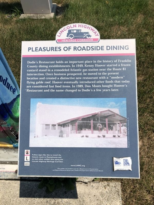
Erected by Department of Conservation and Historic Resources.
Topics and series. This historical marker is listed in this topic list: Industry & Commerce. In addition, it is included in the Lincoln Highway series list. A significant historical year for this entry is 1949.
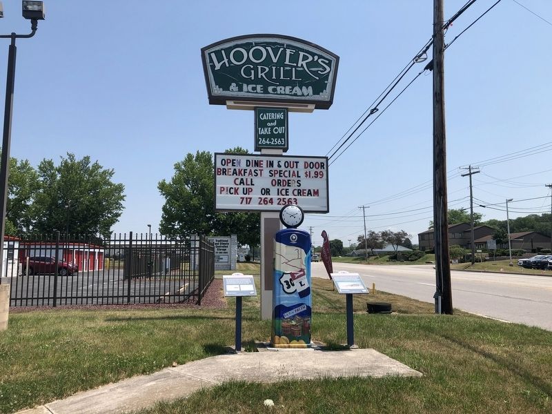
Location. 39° 55.22′ N, 77° 35.437′ W. Marker is near Chambersburg, Pennsylvania, in Franklin County. It is in Guilford Township. It is on Lincoln Way East (Route 30) just west of Sunny Side Drive, on the right when traveling west. Touch for map. Marker is at or near this postal address: 2015 Lincoln Way E, Chambersburg
this page online

Regionally, this marker is in South-Central Pennsylvania. It is also in the American Northeast, in the Mid-Atlantic, in Appalachia, and specifically in Northern Appalachia. Globally, it is in North America, the Western Hemisphere, the Western World, and the Anglosphere. Historically, it finds itself in what was once the Haudenosaunee (Iroquois) Confederacy and also one of the original Thirteen Colonies.
Other nearby markers. At least 8 other markers are within 3 miles of this marker, measured as the crow flies: Highway Enterprise (here, next to this marker); Miner Station (approx. 0.9 miles away); Quincy Railroad Station (approx. one mile away); Pennsylvania Railroad Class N5C Cabin Car (approx. one mile away); Sollenberger Barn (approx. one mile away); Wayne L. Bowerman (approx. 1.1 miles away); Gettysburg Campaign (approx. 2 miles away); Patrick Gass (approx. 2.2 miles away). Touch for a list and map of all markers in Chambersburg.
Credits. This page was last revised on February 7, 2023. It was originally submitted on July 4, 2020, by Devry Becker Jones of Washington, District of Columbia. This page has been viewed 590 times since then and 48 times this year. Last updated on February 21, 2021, by Carl Gordon Moore Jr. of North East, Maryland. Photos: 1, 2. submitted on July 4, 2020, by Devry Becker Jones of Washington, District of Columbia.
