Knoxville in Knox County, Tennessee — The American South (East South Central)
Old Mechanicsville
Photographed by Duane and Tracy Marsteller, February 20, 2021
1. Old Mechanicsville Marker
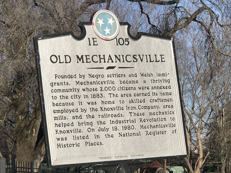
Founded by Negro settlers and Welsh immigrants, Mechanicsville became a thriving community whose 2,000 citizens were annexed to the city in 1883. The area earned its name because it was home to skilled craftsmen employed by the Knoxville Iron Company, area mills, and the railroads. These mechanics helped bring the Industrial Revolution to Knoxville. On July 18, 1980, Mechanicsville was listed in the National Register of Historic Places.
Erected by Tennessee Historical Commission. (Marker Number 1E 105.)
Topics and series. This historical marker is listed in these topic lists: African Americans • Industry & Commerce • Settlements & Settlers. In addition, it is included in the Tennessee Historical Commission series list.
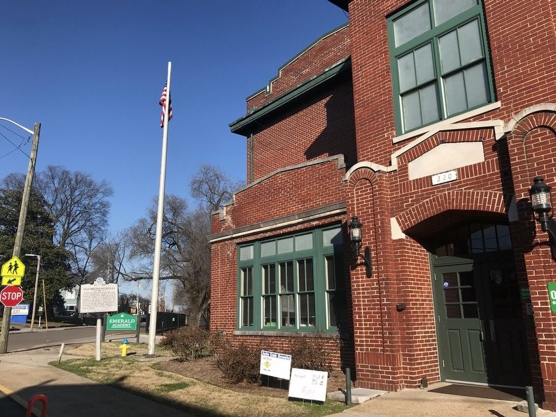
Location. 35° 58.067′ N, 83° 56.039′ W. Marker is in Knoxville, Tennessee, in Knox County. It is at the intersection of Deaderick Avenue and Carrick Street, on the right when traveling north on Deaderick Avenue. Touch for map. Marker is at or near this postal address: 220 Carrick Street, Knoxville TN 37921, United States of America. Touch for directions.

Regionally,
this page online
Other nearby markers. At least 8 other markers are within walking distance of this marker: This street is dedicated to the memory of Sergeant Lillard Earl Ailor (approx. ¼ mile away); Knoxville College (approx. 0.4 miles away); Will Henry Stevens (approx. half a mile away); Catherine Wiley (approx. 0.6 miles away); The 1982 World's Fair Walking Tour (approx. 0.6 miles away); Memorial to Vietnam Veterans of East Tennessee (approx. 0.6 miles away); World's Fair Park (approx. 0.6 miles away); The Southern Railway Station (approx. 0.6 miles away). Touch for a list and map of all markers in Knoxville.
Another marker is no longer nearby. Fort Sanders (was approx. 0.6 miles away but
Photographed by Duane and Tracy Marsteller, February 20, 2021
2. Old Mechanicsville Marker
Also see . . . The Story of Mechanicsville, 1875-2008. Compiled by Robert J. Booker in Flipbook format. (Submitted on February 21, 2021, by Duane and Tracy Marsteller of Murfreesboro, Tennessee.)
via NPS, unknown
3. Mechanicsville Historic District
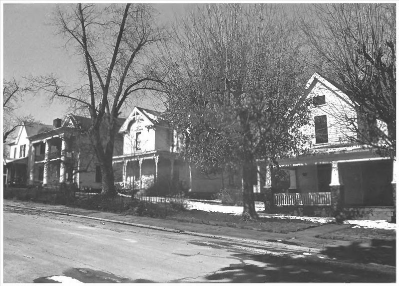
National Register of Historic Places Digital Archive on NPGallery website entry
Click for more information.
Click for more information.
Credits. This page was last revised on December 26, 2021. It was originally submitted on February 21, 2021, by Duane and Tracy Marsteller of Murfreesboro, Tennessee. This page has been viewed 835 times since then and 56 times this year. Photos: 1, 2. submitted on February 21, 2021, by Duane and Tracy Marsteller of Murfreesboro, Tennessee. 3. submitted on December 26, 2021, by Larry Gertner of New York, New York.
