Tallahassee in Leon County, Florida — The American South (South Atlantic)
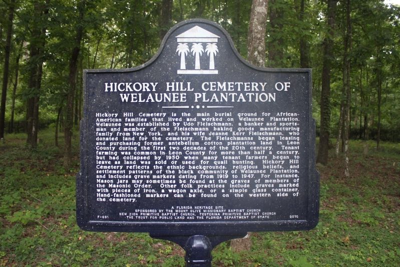
Hickory Hill Cemetery of Welaunee Plantation
Photographed by Tim Fillmon, August 3, 2014
1. Hickory Hill Cemetery of Welaunee Plantation Marker
this page online
Erected 2010 by Mount Olive Missionary Baptist Church, New Zion Primitive Baptist Church, Testerina Primitive Baptist Church, The Trust for Public Land and the Florida Department of State. (Marker Number F-691.)
Topics. This historical marker is listed in these topic lists: African Americans • Cemeteries & Burial Sites. A significant historical year for this entry is 1919.
Location. 30° 28.925′ N, 84° 12.6′ W. Marker is in Tallahassee, Florida, in Leon County. It can be reached from Miccosukee Road (Florida Route 146) half a mile east of Fleischmann Road. Located on the Miccosukee Greenway Trail. To get to the marker, park at the trail head on Fleischmann Road just north of Miccoscukee Road and hike about 1/2 mile east on trail. Touch for map. Marker is in this post office area: Tallahassee FL 32308, United States of America. Touch for directions.

Regionally, this marker is in North Florida. It is also in the American South and specifically in the Deep South. Globally, it is in the North Atlantic Region, North America, a Gulf of Mexico state, the Western Hemisphere, the Western World, and the Anglosphere.
Photographed by Tim Fillmon, August 3, 2014
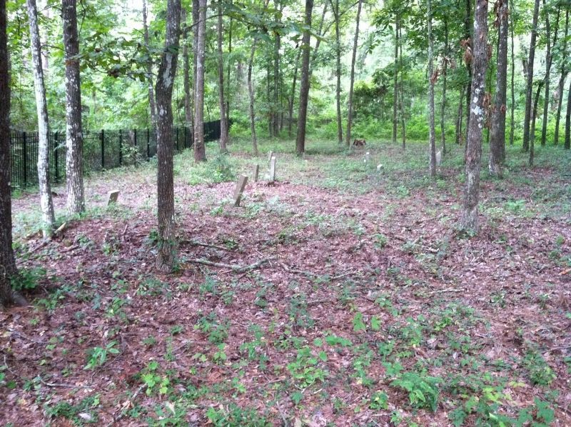
2. Hickory Hill Cemetery of Welaunee Plantation Graves
Taken from the marker looking through fence.
Other nearby markers. At least 8 other markers are within 3 miles of this marker, measured as the crow flies: Munree (Fleischmann) Cemetery of Welaunee Plantation (approx. 1.2 miles away); Velda Mound (approx. 1½ miles away); a different marker also named Velda Mound (approx. 1½ miles away); Strike Against the Pentagon (approx. 2.3 miles away); Leon County War on Terror Memorial (approx. 2.3 miles away); 9/11 By The Numbers (approx. 2.3 miles away); The "Luraville Locomotive" (approx. 3.1 miles away); a different marker also named The Luraville Locomotive (approx. 3.1 miles away). Touch for a list and map of all markers in Tallahassee.
Another marker is no longer nearby. Eastern Boundary of Lafayette Land Grant (was approx. 2 miles away but has been confirmed missing).
Also see . . . Find a Grave-Hickory Hill Cemetery. (Submitted on February 26, 2021, by Tim Fillmon of Webster, Florida.)
Photographed by Tim Fillmon, August 3, 2014
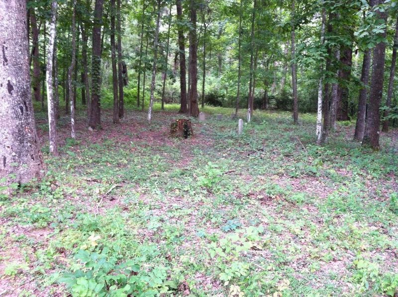
3. Hickory Hill Cemetery of Welaunee Plantation Graves
Credits. This page was last revised on February 26, 2021. It was originally submitted on February 26, 2021, by Tim Fillmon of Webster, Florida. This page has been viewed 2,575 times since then and 202 times this year. Photos: 1, 2, 3. submitted on February 26, 2021, by Tim Fillmon of Webster, Florida.
