Near Centralia in Marion County, Illinois — The American Midwest (Great Lakes)
The Third Principal Meridian
Photographed by Jason Voigt, February 24, 2021
1. The Third Principal Meridian Marker
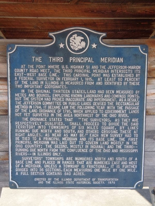
In the original thirteen states land had been measured by metes and bounds, employing known landmarks and compass points, but the system had proved inaccurate and impermanent. As a result, the Jefferson Committee on Public Lands devised the rectangular method in 1784. It became law the following year with the passage of the Land Ordinance of 1785, which applied to government lands not yet surveyed in the area northwest of the Ohio River.
The ordinance stated that "The surveyors, as they are respectively qualified, shall proceed to divide the said territory into townships of six miles square, by lines running due north and south, and others crossing these at right angles, as near as may be." Each new survey had to be tied to a principal meridian and its base line. The First Principal Meridian
this page online
Surveyors' townships are numbered north and south of a base line and placed in ranges that are numbered east and west of a meridian. Unless a township is fractional, it is further divided into 36 sections, each measuring one mile by one mile. A full section contains 640 acres.
Erected 1976 by Illinois Department of Transportation and the Illinois State Historical Society.
Topics and series. This historical marker is listed in this topic list: Landmarks. In addition, it is included in the Illinois State Historical Society series list.
Location. 38° 28.455′ N, 89° 8.627′ W. Marker is near Centralia, Illinois, in Marion County. It is at the intersection of South Poplar Street (U.S. 51) and County Route 2400N, on the right when traveling north on South Poplar Street. Marker is mounted in a shelter near the stone marking the actual Cardinal Point. The County Road is the Jefferson/Marion county
Photographed by Jason Voigt, February 24, 2021
2. The Third Principal Meridian Marker
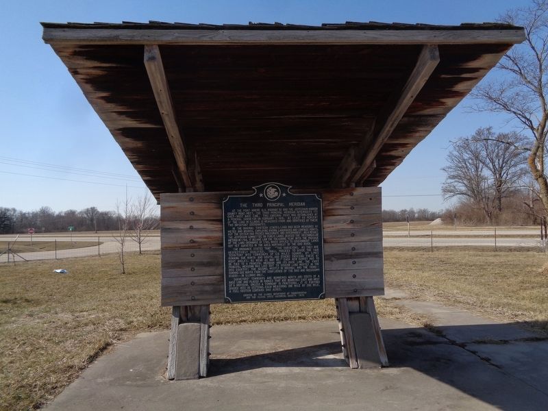
Marker is mounted to a shelter on a roadside pullout off Base Line Road.

Regionally, this marker is in Central Illinois. It is also in the American Midwest and in the Corn Belt. Globally, it is in North America, the Western Hemisphere, the Western World, and the Anglosphere. Historically, it finds itself in what was once the territory of the Mississippian Culture and also the Northwest Territory.
Other nearby markers. At least 8 other markers are within 11 miles of this marker, measured as the crow flies: Centralia Coal Company Mine No. 5 Disaster (approx. 2 miles away); Illinois Agricultural College (approx. 2½ miles away); Medal of Honor (approx. 6.6 miles away); Veterans Tribute (approx. 6.6 miles away); Legends live Forever (approx. 6.8 miles away); Village Fire Bell (approx. 7.2 miles away); Hoyleton (approx. 7.2 miles away); Peaceful Valley Cemetery WW I Memorial (approx. 10½ miles away). Touch for a list and map of all markers in Centralia.
Also see . . . Third principal meridian on Wikipedia. (Submitted on February 26, 2021, by Jason Voigt of Glen Carbon, Illinois.)
Photographed by Jason Voigt, February 24, 2021
3. The Third Principal Meridian Marker
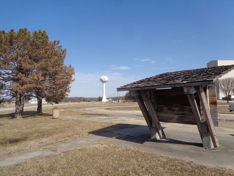
Looking north into south of Centralia
Photographed by Jason Voigt, February 24, 2021
4. Nearby related marker
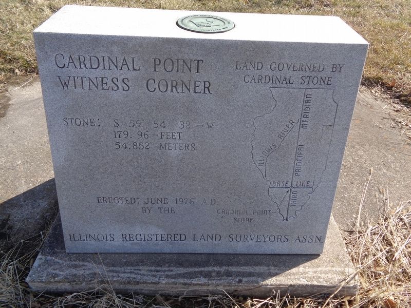
This marks the literal point of the intersection of the Base Line and Third Principal Meridian.
Credits. This page was last revised on February 26, 2021. It was originally submitted on February 26, 2021, by Jason Voigt of Glen Carbon, Illinois. This page has been viewed 1,195 times since then and 142 times this year. Photos: 1, 2, 3, 4. submitted on February 26, 2021, by Jason Voigt of Glen Carbon, Illinois.
