Kilbourne in West Carroll Parish, Louisiana — The American South (West South Central)
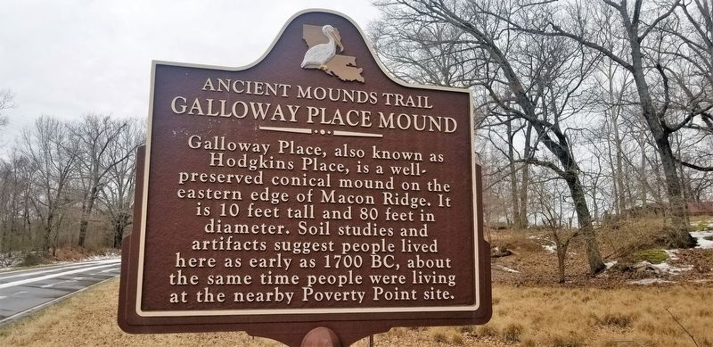
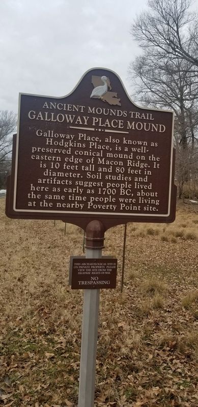
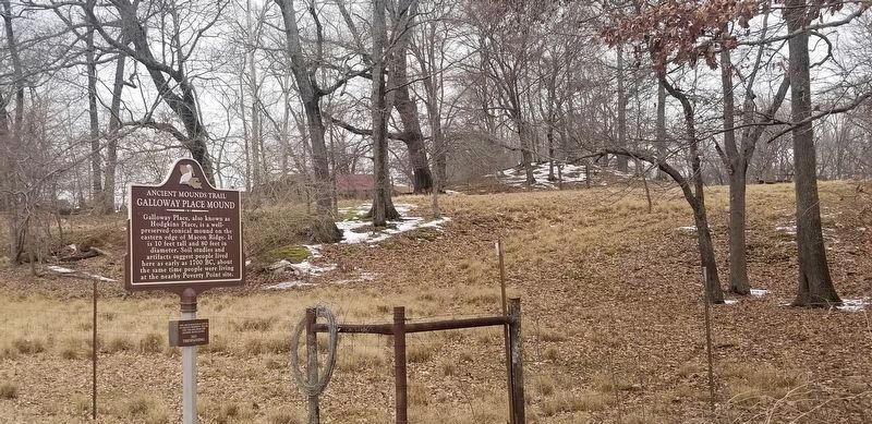
Galloway Place Mound
Ancient Mounds Trail
Lower Plaque
This archaeological site is on private property. Please view the site from the highway right-of-way.
NO TRESPASSING
Topics and series. This historical marker is listed in this topic list: Native Americans. In addition, it is included in the Louisiana Ancient Mounds Trail series list.
Location. 32° 59.518′ N, 91° 16.872′ W. Marker is in Kilbourne, Louisiana, in West Carroll Parish. Marker is on Parish Road 585, 0.1 miles west of Parish Road 543, on the right when traveling west. Touch for map. Marker is in this post office area: Kilbourne LA 71253, United States of America. Touch for directions.
Other nearby markers. At least 8 other markers are within 13 miles of this marker, measured as the crow flies. Site of Mount Carmel (approx. 7˝ miles away in Arkansas); Eudora Under The Hill (approx. 7.9 miles away in Arkansas); Cariola Landing (approx. 8 miles away in Arkansas); Tony Joe White (approx. 11 miles away); Dr. Guthrie Jarrell Plaza (approx. 11.1 miles away); Hood Home Plantation (approx. 12.7 miles away); Gin Office (approx. 12.8 miles away); The Barn (approx. 12.8 miles away).
Also see . . . Indian Mounds of Northeast Louisiana link to Galloway Mound. (Submitted on February 26, 2021, by Cajun Scrambler of Assumption, Louisiana.)
Credits. This page was last revised on February 26, 2021. It was originally submitted on February 26, 2021, by Cajun Scrambler of Assumption, Louisiana. This page has been viewed 251 times since then and 26 times this year. Photos: 1, 2, 3. submitted on February 26, 2021, by Cajun Scrambler of Assumption, Louisiana.


