Freeport in Brazoria County, Texas — The American South (West South Central)
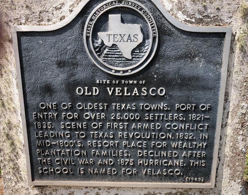
Site of Town of Old Velasco
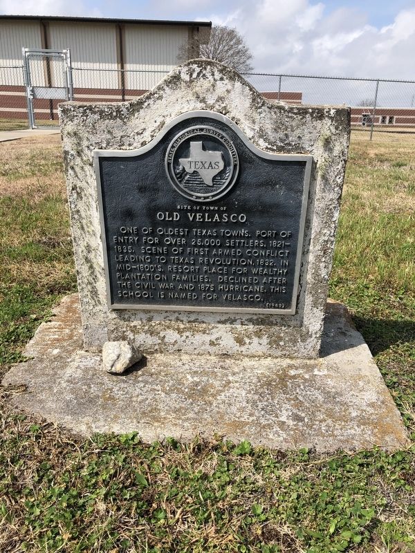
One of oldest Texas towns. Port of entry for over 25,000 settlers, 1821-1835. Scene of first armed conflict leading to Texas Revolution, 1832. In mid-1800s, resort place for wealthy plantation families. Declined after the Civil War and 1875 hurricane. This school is named for Velasco.
Erected 1969 by State Historical Survey Committee. (Marker Number 9604.)
Topics. This historical marker is listed in these topic lists: Settlements & Settlers • War, Texas Independence. A significant historical year for this entry is 1832.
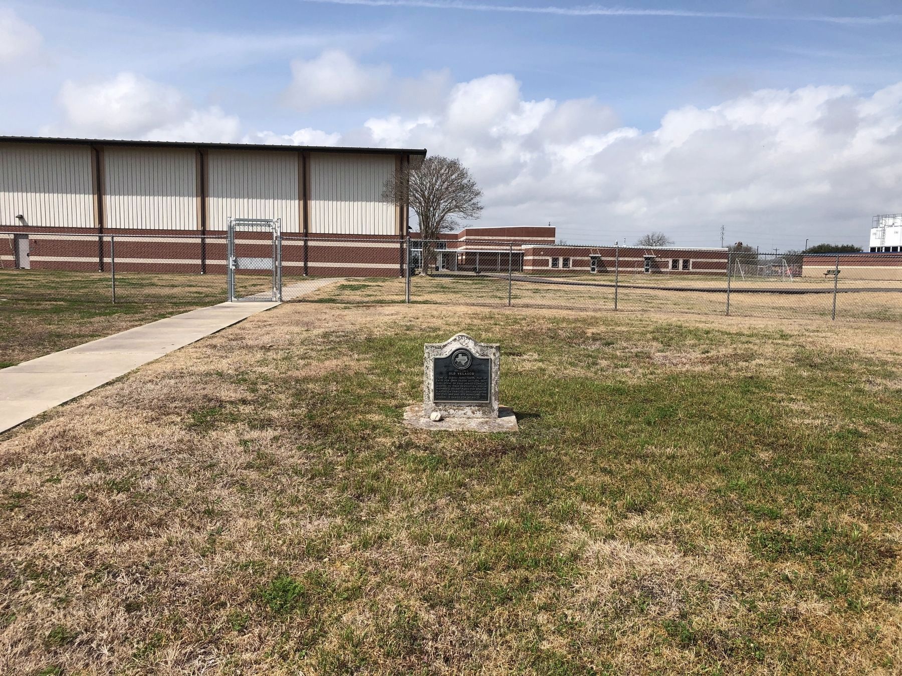
Location. 28° 57.818′ N, 95° 21.888′ W. Marker is in Freeport, Texas, in Brazoria County. Marker is at the intersection of Karankawa Street and North Avenue C, on the left when traveling north on Karankawa Street. The marker is on the public right-of-way on the west side of Karanakawa Street across from the intersection with North Avenue C. Touch for map. Marker is in this post office area: Freeport TX 77541, United States of America. Touch for directions.
Other nearby markers. At least 8 other markers are within walking distance of this marker. Velasco Methodist Church (about 700 feet away, measured in a direct line); Freeport Veterans Memorial Park (approx. half a mile away); Colonel Robert M. Coleman (approx. half a mile away); In Memory of those Who Made the Supreme Sacrifice - World War I - World War II - Korean Conflict (approx. half a mile away); Four Miles Southeast to the Original Town of Velasco (approx. 0.6 miles away); Schuster House (approx. 0.7 miles away); Schuster Home (approx. 0.7 miles away); R. O'Hara Lanier School (approx. 0.7 miles away). Touch for a list and map of all markers in Freeport.
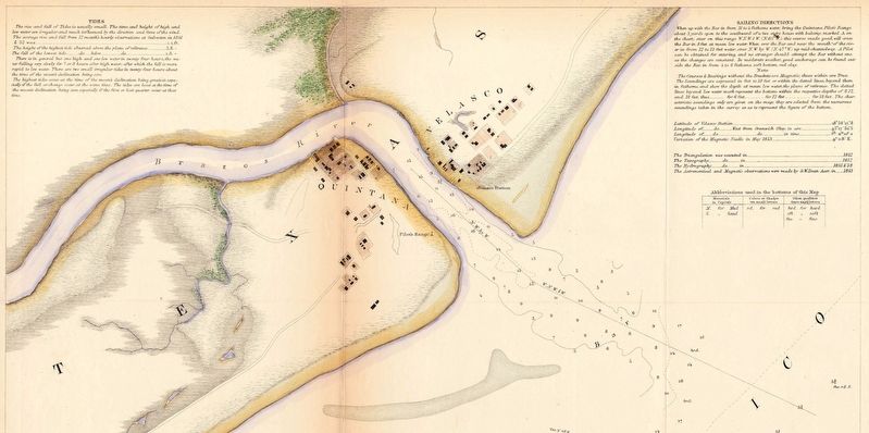
More about this marker. The marker has a somewhat-incorrect title, as "Old Velasco", as this is an informal term for the original location where the town of Velasco began in the 1830s at the original mouth of the Brazos River (about 4 miles SE). This marker is actually located in an area where Velasco moved upstream in 1891, and which was/is informally termed as "New Velasco". The town of Freeport was begun in 1912 across the river from New Velasco, and in 1957 the two communities merged, and the name Velasco was officially discontinued for the townsite. However, this site is an elementary school in the former area of New Velasco (now part of Freeport), and the marker was intended to honor the former town in the school's name, Velasco Elementary School.
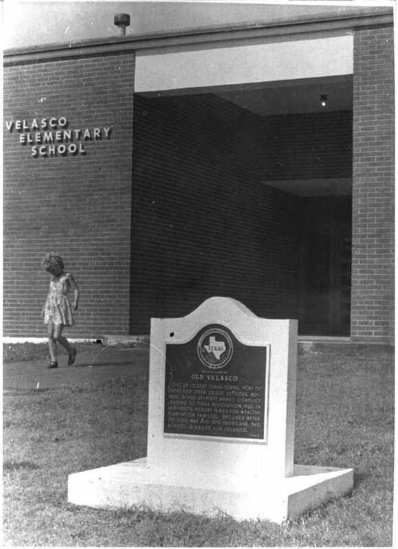
courtesy of Brazoria County Historical Museum, 1969
3. Site of Town of Old Velasco Marker
Credits. This page was last revised on April 11, 2024. It was originally submitted on February 26, 2021, by Chris Kneupper of Brazoria, Texas. This page has been viewed 295 times since then and 36 times this year. Photos: 1, 2. submitted on February 26, 2021, by Chris Kneupper of Brazoria, Texas. 3. submitted on April 4, 2024, by Chris Kneupper of Brazoria, Texas. 4. submitted on February 26, 2021, by Chris Kneupper of Brazoria, Texas. 5. submitted on April 10, 2024, by Chris Kneupper of Brazoria, Texas. • J. Makali Bruton was the editor who published this page.
