
Martinsburg in Berkeley County, West Virginia — The American South (Appalachia)
Avenue of Flags Monument
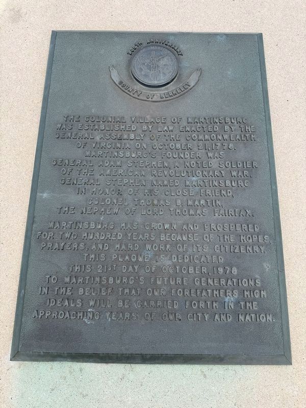
The colonial village of Martinsburg was established by law enacted by the General Assemply of the Commonwealth of Virginia on October 21, 1778. Martinsburg’s founder was General Adam Stephen, a noted soldier of the American Revolutionary War. General Stephen named Martinsburg in honor of his close friend, Colonel Thomas B. Martin, the nephew of Lord Thomas Fairfax.
Martinsburg has grown and prospered for two hundred years because of the hopes, prayers, and hard work of its citizenry. This plaque is dedicated this 21st day of October, 1978 to Martinsburg’s future generations in the belief that our forefathers’ high ideals will be carried forth in the approaching years of our city and nation.
Erected 1978.
Topics. This historical marker and monument is listed in these topic lists: Settlements & Settlers • War, US Revolutionary. A significant historical month for this entry is October 1895.
Location. 39° 27.367′ N, 77° 57.817′ W. Marker is in Martinsburg, West Virginia, in Berkeley County. It is at the intersection of Queen Street (U.S. 11) and King Street (U.S. 11), on the right when traveling north on Queen Street.
this page online

Regionally, this marker and monument is in the Eastern Panhandle. It is also in the American South, specifically in the Upper South, in Appalachia, and specifically in Northern Appalachia. Globally, it is in North America, the Western Hemisphere, the Western World, and the Anglosphere. Historically, it finds itself in what was once the territory of the Mississippian Culture and also the Antebellum South.
Other nearby markers. At least 8 other markers are within walking distance of this marker: Welcome to the City of Martinsburg (a few steps from this marker); Boarman House (within shouting distance of this marker); Civil War Martinsburg (within shouting distance of this marker); St. Joseph's Catholic Church (about 300 feet away, measured in a direct line); Old Methodist Church (about 500 feet away); Girlhood Home of Belle Boyd (about 500 feet away); Market House (about 500 feet away); Harry Flood Byrd (about 600 feet away). Touch for a list and map of all markers in Martinsburg.
Photographed by Tom Fuchs, June 16, 2007
2. Avenue of Flags Monument Marker
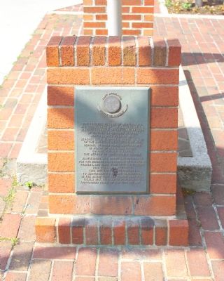
This is a photo of the marker in its previous environs.

Photographed by Tom Fuchs, June 16, 2007
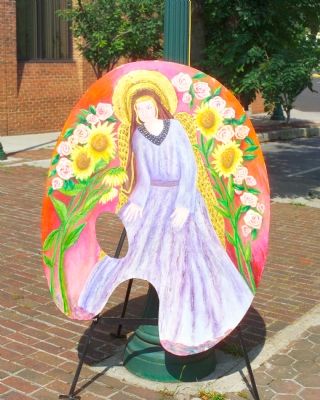
4. Artwork on Display Near the Flagpole

Photographed by Tom Fuchs, June 16, 2007
5. Artwork on Display Near the Flagpole

Photographed by Tom Fuchs, June 16, 2007
6. Artwork on Display Near the Flagpole
![North Side of Flagpole [Prior environs] image. Click for full size.](Photos/5/Photo5563.jpg?41202541300PM "North Side of Flagpole [Prior environs]. Click for full size.")
Photographed by Tom Fuchs, June 16, 2007
8. North Side of Flagpole [Prior environs]
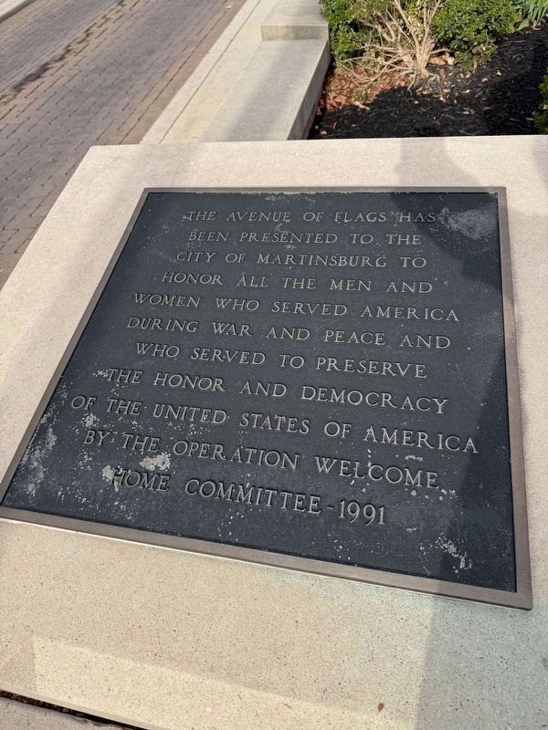
“The Avenue of Flags has been presented to the City o Martinsburg to honor all the men and women who served America during war and peace and who served to preserve the honor and democracy of the United States of America by The Operation Welcome Home Committee, 1991.”
Credits. This page was last revised on April 1, 2025. It was originally submitted on August 4, 2007, by Tom Fuchs of Greenbelt, Maryland. This page has been viewed 2,343 times since then and 24 times this year. Last updated on February 26, 2021, by Carl Gordon Moore Jr. of North East, Maryland. Photos: 1. submitted on April 1, 2025, by Devry Becker Jones of Washington, District of Columbia. 2. submitted on August 4, 2007, by Tom Fuchs of Greenbelt, Maryland. 3. submitted on April 1, 2025, by Devry Becker Jones of Washington, District of Columbia. 4, 5, 6. submitted on August 4, 2007, by Tom Fuchs of Greenbelt, Maryland. 7. submitted on April 1, 2025, by Devry Becker Jones of Washington, District of Columbia. 8. submitted on August 4, 2007, by Tom Fuchs of Greenbelt, Maryland. • J. Makali Bruton was the editor who published this page.
