Near La Vernia in Wilson County, Texas — The American South (West South Central)
Bridge at McAlister Crossing
(Mueller Bridge)
— (2/10 Mile Southwest) —
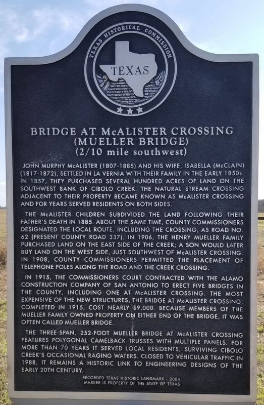
John Murphy McAlister (1807-1885) and his wife, Isabella (McClain) (1817-1872), settled in La Vernia with their family in the early 1850s. In 1857, they purchased several hundred acres of land on the southwest bank of Cibolo Creek. The natural stream crossing adjacent to their property became known as McAlister Crossing and for years served residents on both sides.
The McAlister children subdivided the land following their father's death in 1885. About the same time, county commissioners designated the local route, including the crossing, as Road No. 62 (present County Road 337). In 1906, the Henry Mueller family purchased land on the east side of the creek; a son would later buy land on the west side, just southwest of McAlister Crossing. In 1908, County Commissioners permitted the placement of telephone poles along the road and the creek crossing.
In 1915, the Commissioners Court contracted with the Alamo Construction Company of San Antonio to erect five bridges in the county, including one at McAlister Crossing. The most expensive of the new structures, the bridge at McAlister Crossing, completed in 1915, cost nearly $9,000. Because members of the Mueller family owned property on either end of the bridge, it was often called Mueller Bridge.
The three-span, 252-foot Mueller Bridge at McAlister Crossing features polygonal camelback trusses with multiple panels. For more than 70 years it served local residents, surviving Cibolo Creek's occasional raging waters. Closed to vehicular traffic in 1988, it remains a historic link to engineering designs of the early 20th century.
Recorded Texas Historic Landmark - 2004
Erected 2004 by Texas Historical Commission. (Marker Number 13258.)
Topics. This historical marker is listed in this topic list: Bridges & Viaducts. A significant historical year for this entry is 1857.
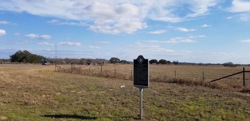
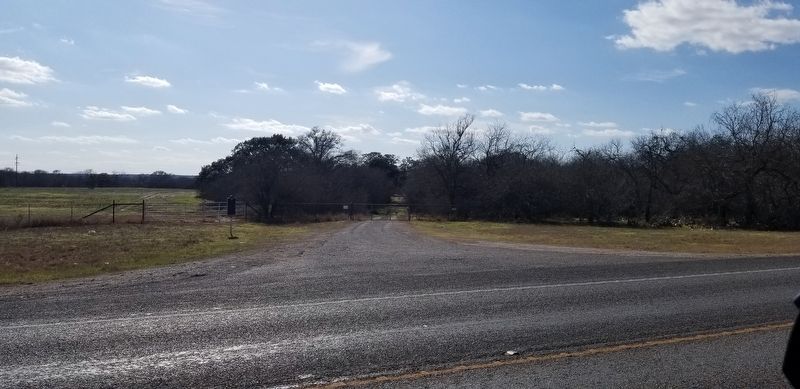
Location. 29° 21.16′ N, 98° 4.194′ W. Marker is near La Vernia, Texas, in Wilson County. Marker is at the intersection of Farm to Market Road 539 and County Highway 337, on the left when traveling north on Highway 539. Touch for map. Marker is in this post office area: La Vernia TX 78121, United States of America. Touch for directions.
Other nearby markers. At least 8 other markers are within 3 miles of this marker, measured as the crow flies. Barker-Huebinger Homestead (approx. 0.9 miles away); Rector Chapel Cemetery (approx. 1.3 miles away); Linne Oil Field (approx. 2.2 miles away); Alamo Survivor (approx. 2.3 miles away); Cibolo Crossing on the Gonzales Road (approx. 2.3 miles away); Immanuel Lutheran Church (approx. 2˝ miles away); Polley Cemetery (approx. 2˝ miles away); Whitehall (approx. 2.6 miles away). Touch for a list and map of all markers in La Vernia.
Also see . . . Bridge at McAlister Crossing aka MUELLER BRIDGE. TexasEscapes.com (Submitted on February 27, 2021, by James Hulse of Medina, Texas.)
Credits. This page was last revised on February 27, 2021. It was originally submitted on February 27, 2021, by James Hulse of Medina, Texas. This page has been viewed 219 times since then and 30 times this year. Photos: 1, 2, 3. submitted on February 27, 2021, by James Hulse of Medina, Texas.


