Governors Island in Manhattan in New York County, New York — The American Northeast (Mid-Atlantic)
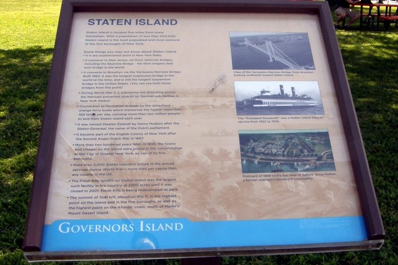
Staten Island
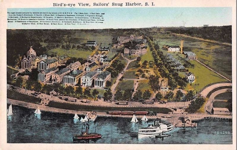
Staten Island is located five miles from lower Manhattan. With a population of 500,000, Staten Island is the least populated and most pastoral of the five boroughs of New York.
Some things you may not know about Staten Island:
• It is the southernmost point in New York State
• It connects to New Jersey via three vehicular bridges, including the Bayonne Bridge – the third longest steel arch bridge in the world.
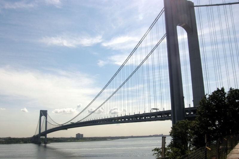
• It connects to Brooklyn via the Verrazano-Narrows Bridge. Built in 1964, it was the longest suspension bridge in the world at the time, and is still the longest suspension bridge in the United States. (You can see both these bridge from this point)
• During World War II, a submarine net stretching across the Narrows prevented attacks by German submarines in New York Harbor.
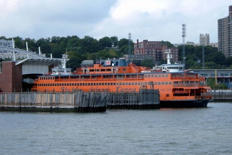
• Connection to Manhattan is made by the ubiquitous orange ferry boats which transverse the harbor more than 100 times per day, carrying more than two million people to and from Staten Island every year.
• It was named Staaten Eyelandt by Henry Hudson after the Staten-Generaal, the name of the Dutch parliament.
• It became part of the English Colony of New York after the Second Anglo-Dutch War in 1667.
• More than two hundred years later, in 1898, the towns and villages on the island were joined in the consolidation of the City of Greater New York, as one of its five boroughs.
• More than 5,000 Staten Islanders joined in the armed services during World War I, more men per capita than any other county in the US.
• The Fresh Kills Landfill on Staten Island was the largest such facility in the country at 2200 acres until it was closed in 2001. Fresh Kills is being redeveloped as a park.
• The summit of Todt Hill, elevation 410 ft, is the highest point on the island and the five boroughs, as well as the highest point on the Atlantic Coast, south of Maine’s Mount Desert Island.
Topics. This historical marker is listed in these topic lists: Bridges & Viaducts • Exploration • War, World I • Waterways & Vessels. A significant historical year for this entry is 1964.
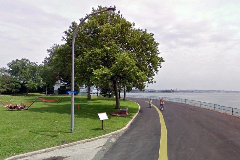
Location. 40° 41.081′ N, 74° 1.553′ W. Marker is in Manhattan, New York, in New York County. It is on Governors Island. Marker is at the intersection of Craig Road South and Gresham Road, on the left when traveling east on Craig Road South. Touch for map. Marker is at or near this postal address: Governors Island, Brooklyn NY 11231, United States of America. Touch for directions.
Other nearby markers. At least 8 other markers are within walking distance of this marker. South (a few steps from this marker); Foghorn Alley Bandstand (within shouting distance of this marker); Picnic Point (within shouting distance of this marker); Statue of Liberty Centennial Rededication (about 600 feet away, measured in a direct line); The Statue of Liberty (approx. 0.2 miles away); The Coast Guard Life (approx. ¼ mile away); St. Mihiel Dock (approx. ¼ mile away); Coast Guard Housing (approx. 0.3 miles away). Touch for a list and map of all markers in Manhattan.
Also see . . .
1. Staten Island. Wikipedia entry (Submitted on February 28, 2021, by Larry Gertner of New York, New York.)
2. Visit Staten Island – The Unexpected Borough. Tourism Staten Island entry (Submitted on February 28, 2021, by Larry Gertner of New York, New York.)
Credits. This page was last revised on January 31, 2023. It was originally submitted on February 28, 2021, by Larry Gertner of New York, New York. This page has been viewed 118 times since then and 7 times this year. Photos: 1, 2, 3, 4, 5, 6. submitted on February 28, 2021, by Larry Gertner of New York, New York.
