Sundown in Hockley County, Texas — The American South (West South Central)
City of Sundown Cemetery
Photographed by Allen Lowrey, February 27, 2021
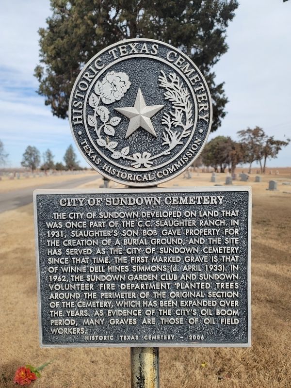
1. City of Sundown Cemetery Marker
Historic Texas Cemetery - 2006
Erected 2006 by Texas Historical Commission. (Marker Number 13580.)
Topics. This historical marker is listed in this topic list: Cemeteries & Burial Sites.
Location. 33° 27.55′ N, 102° 28.868′ W. Marker is in Sundown, Texas, in Hockley County. It is at the intersection of East 7th Street and East City Limit Road, on the left when traveling east on East 7th Street. Touch for map. Marker is in this post office area: Sundown TX 79372, United States of America.
this page online

Regionally, this marker is in Big Country. It is also on the American Great Plains and specifically on the Southern Plains. Globally, it is in North America, a Gulf of Mexico state, the Western Hemisphere, the Western World, and the Anglosphere. Historically, it finds itself in what was once New Spain, the Republic of Texas, and one of the Confederate States of America.
Other nearby markers. At least 7 other markers are within 13 miles of this marker, measured as the crow flies: City of Levelland Cemetery (approx. 10.1 miles away); Quanah Parker Trail Marker (approx. 10.4 miles away); Hockley County Cemetery (approx. 10.4 miles away); Fifth Street Missionary Baptist Church (approx. 10.7 miles away); City of Levelland (approx. 10.7 miles away); Former Whiteface Motel (approx. 12.4 miles away); Whiteface Power Plant (approx. 12.4 miles away).
Another marker is no longer nearby. First Oil Well in Hockley County (was approx. 2.4 miles away but has been confirmed missing).
Photographed by Allen Lowrey, February 27, 2021
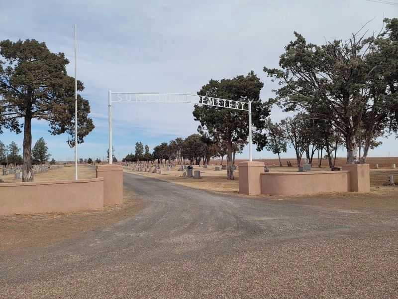
2. City of Sundown Cemetery and Marker
Photographed by Allen Lowrey, February 27, 2021
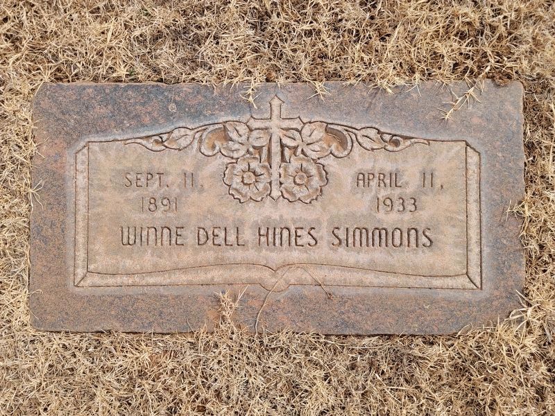
3. Grave marker of Winnie Dell Hines Simmons
Photographed by Allen Lowrey, February 27, 2021
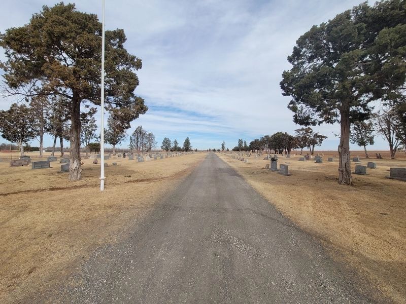
4. View of City of Sundown Cemetery
Credits. This page was last revised on March 1, 2021. It was originally submitted on February 28, 2021, by Allen Lowrey of Amarillo, Texas. This page has been viewed 741 times since then and 55 times this year. Photos: 1, 2, 3, 4. submitted on February 28, 2021, by Allen Lowrey of Amarillo, Texas. • J. Makali Bruton was the editor who published this page.
