
Fort Eustis in Newport News, Virginia — The American South (Mid-Atlantic)
Doak 16 VZ-4DA
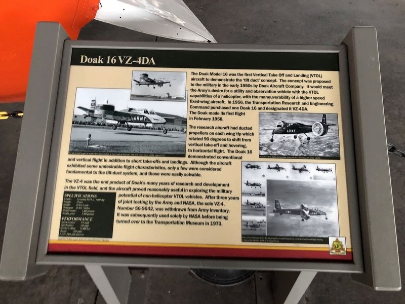
The Doak Model 16 was the first Vertical Take Off and Landing (VTOL) aircraft to demonstrate the 'tilt duct' concept. The concept was proposed to the military in the early 1950s by Doak Aircraft Company. It would meet the Army's desire for a utility and observation vehicle with the VTOL capabilities of a helicopter, with the maneuverability of a higher speed fixed-wing aircraft. In 1956, the Transportation Research and Engineering Command purchased one Doak 16 and designated it VZ-4DA. The Doak made its first flight in February 1958.
The research aircraft had ducted propellers on each wing tip which rotated 90 degrees to shift from vertical take-off and hovering to horizontal flight. The Doak 16 demonstrated conventional and vertical flight in addition to short take-offs and landings. Although the aircraft exhibited some undesirable flight characteristics, only a few were considered fundamental to the tilt-duct system, and those were easily solvable.
The VZ-4 was the end product of Doak's many years of research and development in the VTOL field, and the aircraft proved reasonably useful in exploring the military
this page online
Erected by US Army Transportation Museum.
Topics. This historical marker is listed in these topic lists: Air & Space • Military • War, Cold. A significant historical month for this entry is February 1958.
Location. 37° 9.845′ N, 76° 34.583′ W. Marker is in Newport News, Virginia. It is in Fort Eustis. It can be reached from Washington Boulevard just north of Jefferson Avenue, on the right when traveling north. Touch for map. Marker is at or near this postal address: 321 Washington Blvd, Fort Eustis VA 23604, United States of America. Touch for directions.

Regionally, this marker is on Virginia’s Peninsula, in Hampton Roads, in Coastal Virginia, and in the Hampton Roads Metropolitan Area. It is also in the American South, specifically in the Upper South, in the Tidewater, and on the Eastern Seaboard. Globally, it is in the North Atlantic Region, North America,
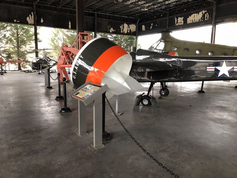
Other nearby markers. At least 8 other markers are within walking distance of this marker: UH-1H Iroquois (here, next to this marker); UH-1B Iroquois (here, next to this marker); H-25A Mule (a few steps from this marker); Cybernetic Walker (a few steps from this marker); GEM, Model 2500 Air Car (a few steps from this marker); YCH-47B / YCH-1B / YCH-47A Chinook (a few steps from this marker); U-6A Beaver (a few steps from this marker); VH-34C / H-34C Choctaw (a few steps from this marker). Touch for a list and map of all markers in Newport News.
Credits. This page was last revised on February 1, 2023. It was originally submitted on February 28, 2021, by Devry Becker Jones of Washington, District of Columbia. This page has been viewed 334 times since then and 33 times this year. Photos: 1, 2. submitted on February 28, 2021, by Devry Becker Jones of Washington, District of Columbia.
