Near Dansville in Ingham County, Michigan — The American Midwest (Great Lakes)
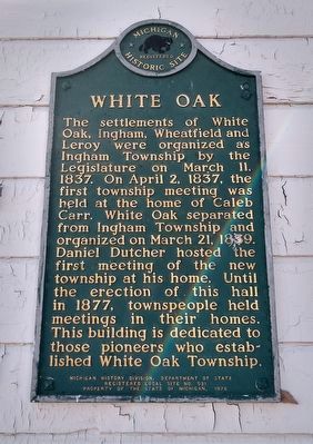
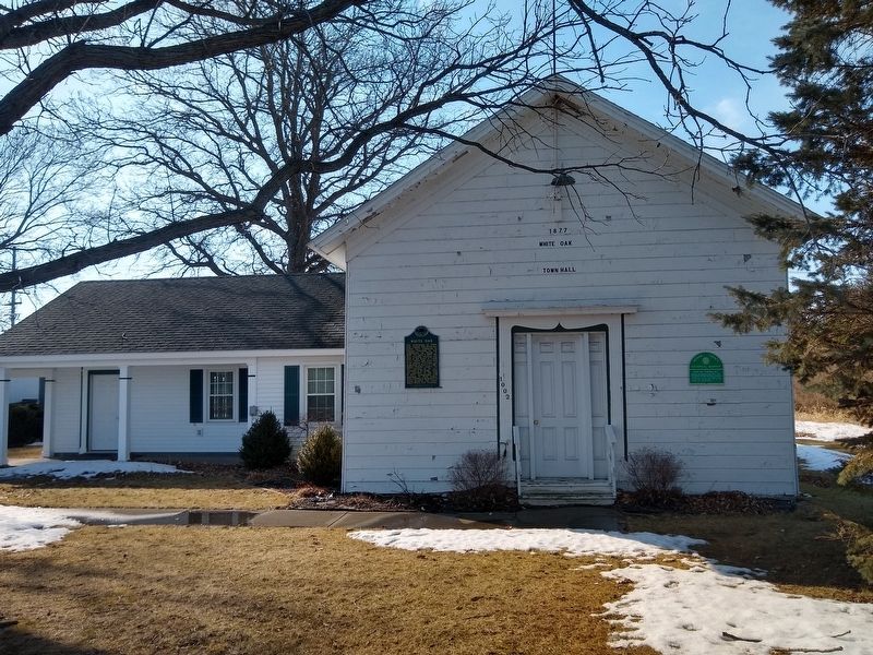
White Oak
Erected 1978 by Michigan History Division, Department of State. (Marker Number L531.)
Topics and series. This historical marker is listed in this topic list: Government & Politics. In addition, it is included in the Michigan Historical Commission series list. A significant historical date for this entry is March 11, 1837.
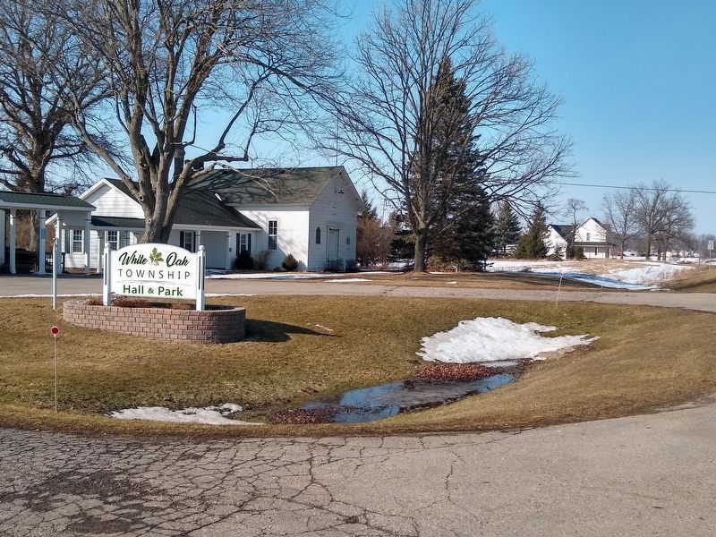
Location. 42° 33.299′ N, 84° 11.526′ W. Marker is near Dansville, Michigan, in Ingham County. Marker is at the intersection of State Highway 52 and Dansville Road East, on the right when traveling south on State Highway 52. Touch for map. Marker is at or near this postal address: 1002 S M 52, Webberville MI 48892, United States of America. Touch for directions.
Other nearby markers. At least 8 other markers are within 8 miles of this marker, measured as the crow flies. White Oak Township Hall (here, next to this marker); Millville United Methodist Church (approx. 1.9 miles away); Fairview Cemetery (approx. 5.3 miles away); Plainfield Methodist Church (approx. 5.7 miles away); Stockbridge Civil War Memorial (approx. 7.2 miles away); First Presbyterian Church of Stockbridge (approx. 7.2 miles away); Stockbridge Town Hall (approx. 7.2 miles away); Sts. Cornelius and Cyprian Church (approx. 7.4 miles away). Touch for a list and map of all markers in Dansville.
Also see . . . Township History. History of the township on White Oak Township's website. (Submitted on March 1, 2021, by Joel Seewald of Madison Heights, Michigan.)
Credits. This page was last revised on March 2, 2021. It was originally submitted on March 1, 2021, by Joel Seewald of Madison Heights, Michigan. This page has been viewed 131 times since then and 9 times this year. Photos: 1, 2, 3. submitted on March 1, 2021, by Joel Seewald of Madison Heights, Michigan.


