La Vernia in Wilson County, Texas — The American South (West South Central)
Applewhite Homestead
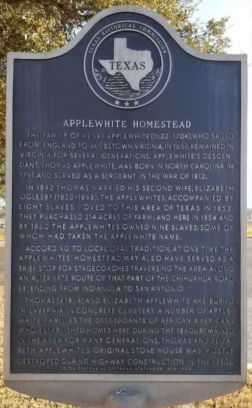
The family of Henry Applewhite (1630-1704), who sailed from England to Jamestown, Virginia, in 1656, remained in Virginia for several generations. Applewhite's descendant, Thomas Applewhite, was born in North Carolina in 1791 and served as a sergeant in the War of 1812.
In 1842 Thomas married his second wife, Elizabeth Oglesby (1820-1898). The Applewhites, accompanied by eight slaves, moved to this area of Texas in 1853. They purchased 214 acres of farmland here in 1854 and by 1860 the Applewhites owned nine slaves, some of whom had taken the Applewhite name.
According to local oral tradition, at one time the Applewhites' homestead may also have served as a brief stop for stagecoaches traversing the area along an alternate route of that part of the Chihuahua Road extending from Indianola to San Antonio.
Thomas (d. 1864) and Elizabeth Applewhite are buried in La Vernia in Concrete Cemetery. A number of Applewhite families, the descendants of African Americans who established homes here during the 1860s, remained in the area for many generations. Thomas and Elizabeth Applewhite's original stone house was mostly destroyed during highway construction in the 1950s.
Sesquicentennial of Texas Statehood 1845-1995
Erected 1995 by Texas Historical Commission . (Marker Number 13773.)
Topics. This historical marker is listed in these topic lists: African Americans • Roads & Vehicles • Settlements & Settlers. A significant historical year for this entry is 1656.
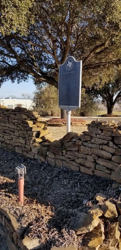
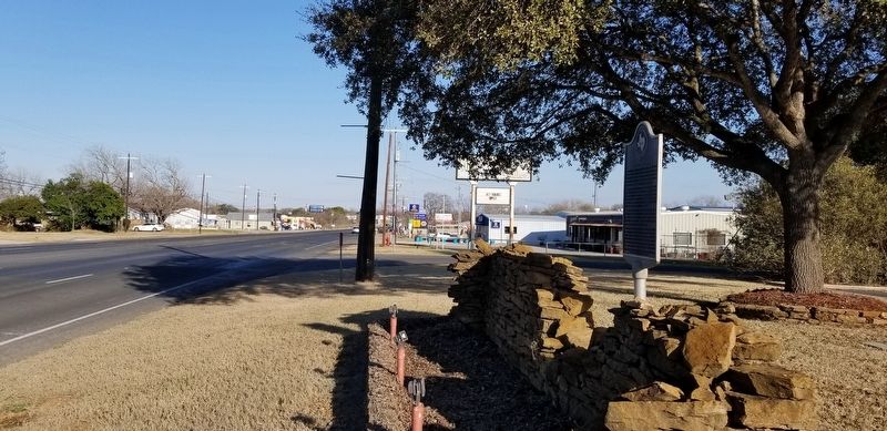
Location. 29° 21.412′ N, 98° 7.477′ W. Marker is in La Vernia, Texas, in Wilson County. Marker is at the intersection of U.S. 87 and San Antonio Road, on the left when traveling west on U.S. 87. The marker is located at the northeast corner of the parking lot of the Finch Funeral Chapel. Touch for map. Marker is at or near this postal address: 13760 West US Hwy 87, La Vernia TX 78121, United States of America. Touch for directions.
Other nearby markers. At least 8 other markers are within walking distance of this marker. La Vernia United Methodist Church (approx. 0.4 miles away); a different marker also named La Vernia United Methodist Church (approx. 0.4 miles away); Brahan Lodge No. 226, A.F. & A.M. (approx. 0.4 miles away); Deaf Smith Oak Tree - the Next Generation (approx. 0.6 miles away); Rector Chapel Bell (approx. 0.6 miles away); La Vernia (approx. 0.6 miles away); Old Chihuahua Road (approx. 0.6 miles away); Suttles Pottery (approx. 0.6 miles away). Touch for a list and map of all markers in La Vernia.
Credits. This page was last revised on March 2, 2021. It was originally submitted on March 1, 2021, by James Hulse of Medina, Texas. This page has been viewed 635 times since then and 113 times this year. Photos: 1, 2, 3. submitted on March 1, 2021, by James Hulse of Medina, Texas.


