Perryville in Boyle County, Kentucky — The American South (East South Central)
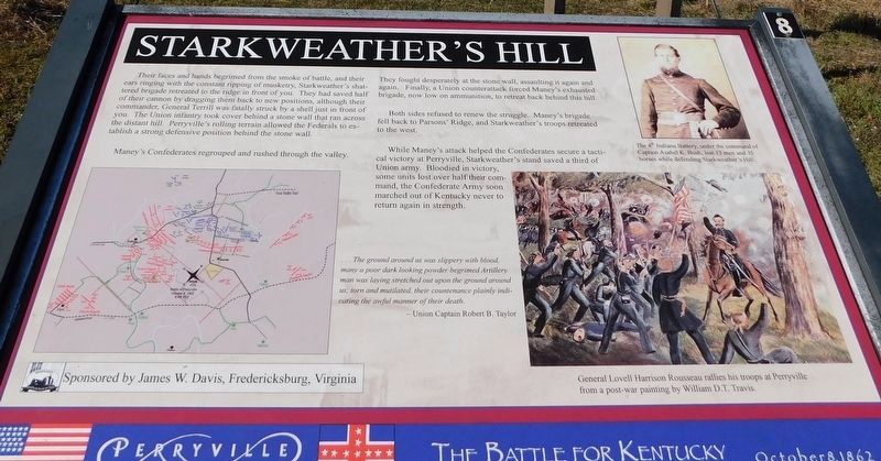
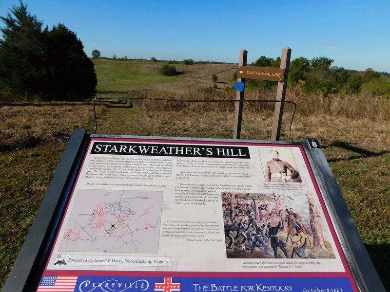
Starkweather’s Hill
Perryville • The Battle For Kentucky
— October 8, 1862 —
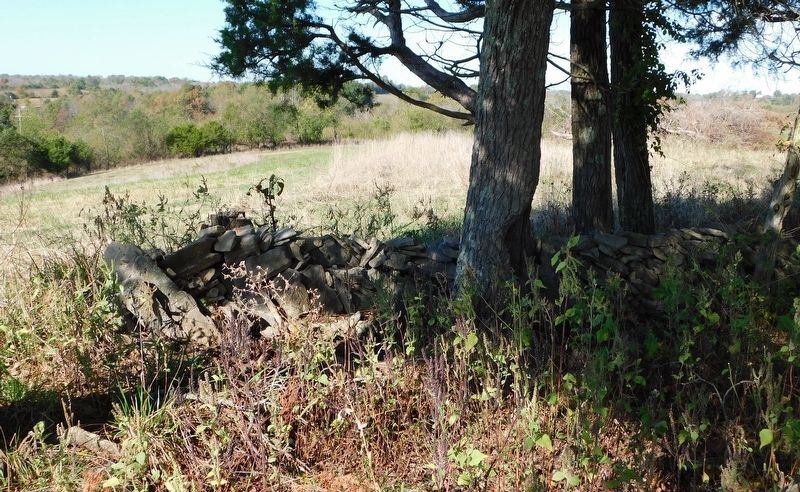
Their faces and hands begrimed from the smoke of battle, and their ears ringing with the constant ripping of musketry, Starkweather’s shattered brigade retreated to the ridge in front of you. They had saved half of their cannon by dragging them back to new positions, although their commander, General Terrill was fatally struck by a shell just in front of you. The Union infantry took cover behind a stone wall that ran across the distant hill. Perryville’s rolling terrain allowed the Federals to establish another defensive position behind the stone wall.
Maney’s Confederates regrouped and rushed through the valley. They fought desperately at the stone wall, assaulting it again and again. Finally, a Union counterattack forced Maney’s exhausted brigade, now low on ammunition, to retreat back behind this hill.
Both sides refused to renew the struggle. Maney’s brigade fell back to Parsons’ Ridge, and Starkweather’s troops retreated to the west.
While Maney’s attack helped the Confederates secure a tactical victory at Perryville, Starkweather’s stand saved a third of Union army. Bloodied in victory, some units over half their command, the Confederate Army soon marched out of Kentucky never to return in strength.
...the ground around was slippery with blood, many a poor dark looking powder begrimed Artillery man was laying stretched out upon the ground around us, torn and mutilated, their countenance plainly indicating the awful manner of their death.
—Union Captain Robert B. Taylor
(captions)
The 4th Indiana Battery, under the command of Captain Asahel K. Bush, lost 13 mean and 35 horses while defending Starkweather’s Hill.
General Lovell Harrison Rousseau rallies his troops at Perryville from a post-war paining by William D.T. Travis.
Erected by James W. Davis, Fredericksburg, Virginia. (Marker Number 8.)
Topics. This historical marker is listed in this topic list: War, US Civil. A significant historical date for this entry is October 8, 1862.
Location. 37° 40.492′ N, 84° 58.526′ W. Marker is in Perryville, Kentucky, in Boyle County. Marker can be reached from Whites Road east of Hays Mays Road, on the left when traveling north. Located in Perryville Battlefield State Historic Site at Interpretive Marker 8 on the Perryville Battlefield Trail System (Confederate Right Trail). Touch for map. Marker is in this post office area: Perryville KY 40468, United States of America. Touch for directions.
Other nearby markers. At least 8 other markers are within walking distance of this marker. A different marker also named Starkweather's Hill (within shouting distance of this marker); Starkweather's Wall: Highwatermark of the West (about 300 feet away, measured in a direct line); Act of Mercy (about 400 feet away); The Cornfield (about 700 feet away); Sanctuary (approx. 0.2 miles away); On this Spot Brig. Gen. James S. Jackson Fell (approx. 0.2 miles away); Defense of Parsons’ Ridge (approx. 0.2 miles away); a different marker also named Defense of Parsons’ Ridge (approx. Ľ mile away). Touch for a list and map of all markers in Perryville.
Related marker. Click here for another marker that is related to this marker. Old Marker At This Location also titled “Starkweather's Hill".
Also see . . . Perryville Battlefield State Historic Site. Kentucky State Parks (Submitted on March 3, 2021.)
Credits. This page was last revised on November 3, 2021. It was originally submitted on March 2, 2021, by Bradley Owen of Morgantown, West Virginia. This page has been viewed 164 times since then and 18 times this year. Photos: 1. submitted on February 28, 2021, by Bradley Owen of Morgantown, West Virginia. 2. submitted on March 2, 2021, by Bradley Owen of Morgantown, West Virginia. 3. submitted on February 26, 2021, by Bradley Owen of Morgantown, West Virginia. • Bernard Fisher was the editor who published this page.


