Hollywood in Los Angeles in Los Angeles County, California — The American West (Pacific Coastal)
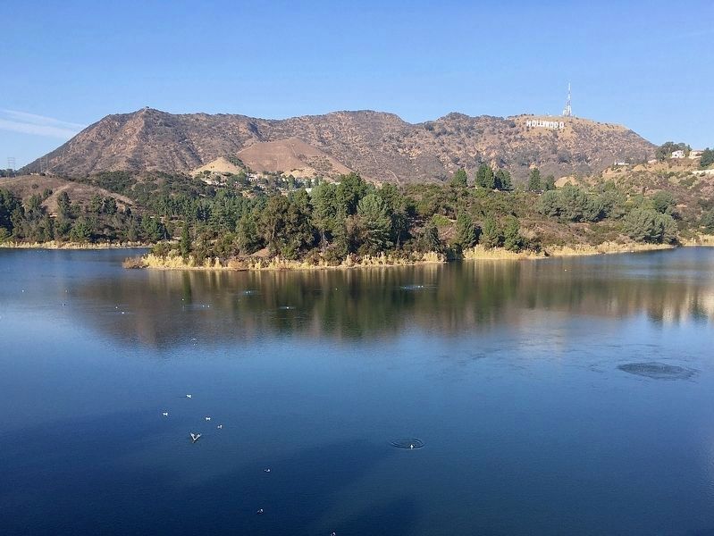
Hollywood Reservoir
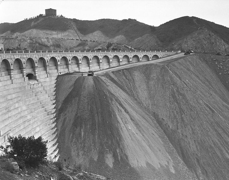
Mulholland Dam
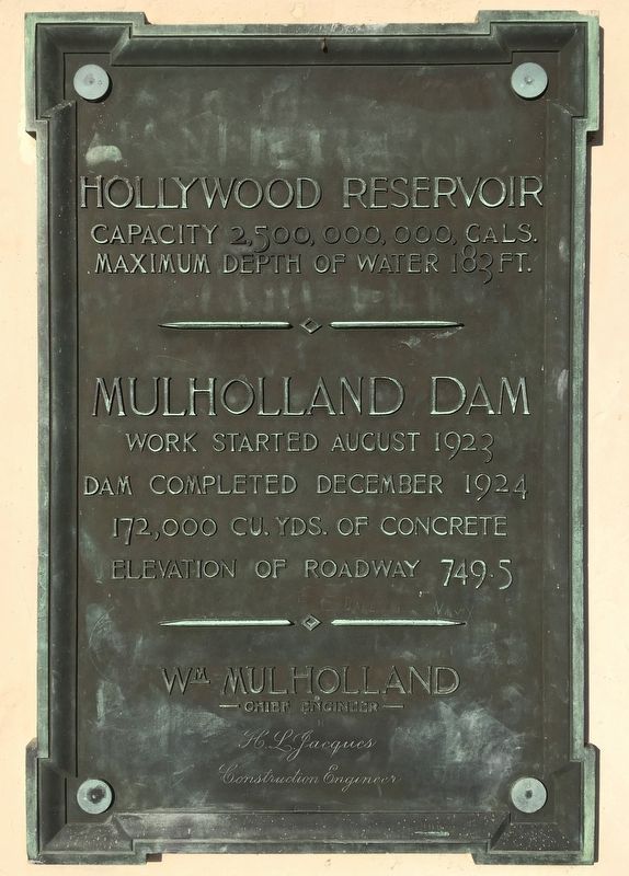
Hollywood Reservoir
Capacity 2,500,000,000 gallons.
Maximum depth of water 183 feet.
Mulholland Dam
Work started August 1923.
Dam completed December 1924.
172,000 cubic yards of concrete.
Elevation of roadway 749.5'.
William Mulholland, Chief Engineer.
H.L. Jacques, Construction Engineer.
Erected 1924 by City of Los Angeles. (Marker Number 421.)
Topics and series. This historical marker is listed in these topic lists: Charity & Public Work • Waterways & Vessels. In addition, it is included in the Los Angeles Historic-Cultural Monument series list. A significant historical month for this entry is December 1924.
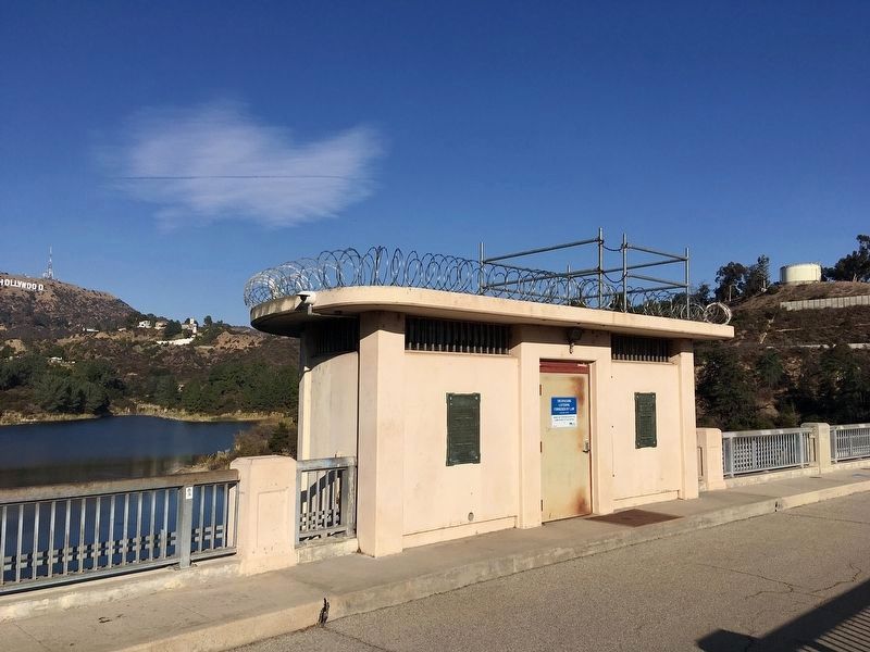
Location. 34° 7.087′ N, 118° 19.874′ W. Marker is in Los Angeles, California, in Los Angeles County. It is in Hollywood. Marker can be reached from Weidlake Drive, 0.4 miles north of Deep Dell Place, on the left when traveling north. Located on a small building at the center of the dam. Touch for map. Marker is in this post office area: Los Angeles CA 90068, United States of America. Touch for directions.
Other nearby markers. At least 8 other markers are within walking distance of this marker. The Hollywood Cross (approx. 0.4 miles away); Withers Residence (approx. half a mile away); Lehman House (approx. half a mile away); The Honorable Edmund D. Edelman (approx. 0.6 miles away); Cahuenga Pass Treasure (approx. 0.6 miles away); Two Stone Gates (approx. 0.6 miles away); Hollywoodland Stairs (approx. 0.6 miles away); Hollywood Sign (approx. 0.6 miles away). Touch for a list and map of all markers in Los Angeles.
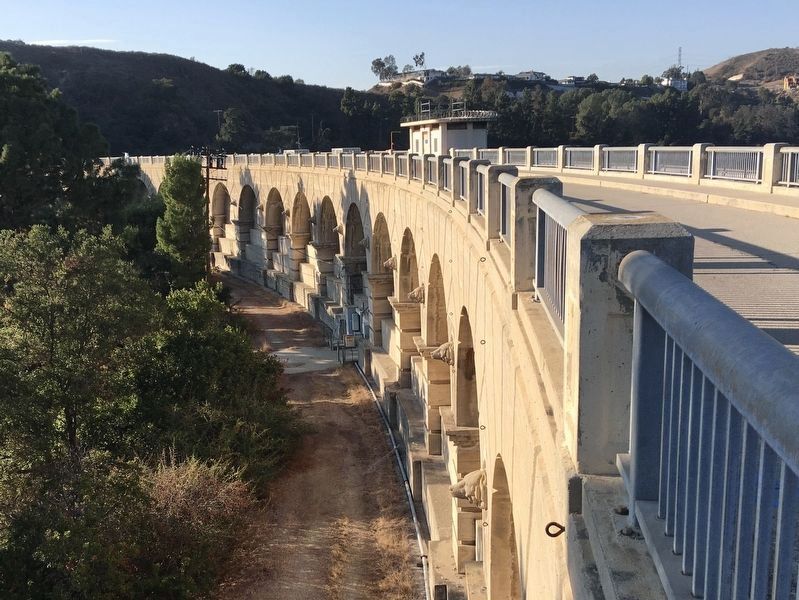
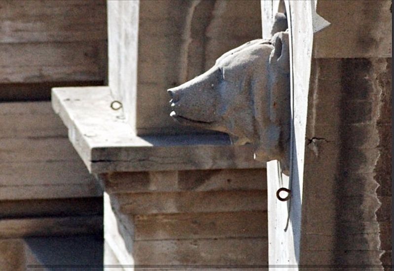
Regarding Hollywood Reservoir. Two years after construction of the Mulholland Dam, the St. Francis Dam was completed 30 miles to the north. It collapsed soon after its reservoir was filled, killing 430 people. Both dams had similar designs and used similar construction methods. After the St. Francis Dam collapsed, the Hollywood Reservoir water level was lowered to reduce the load on the dam, and the canyon below the dam was filled-in with soil and planted trees for additional support.
In 2002 the Hollywood Reservoir was replaced with two 30 million gallon underground tanks - the largest in the world - to comply with new drinking water regulations. Plans to empty the reservoir were dropped when homeowners with a view of the reservoir complained, including singer Madonna.
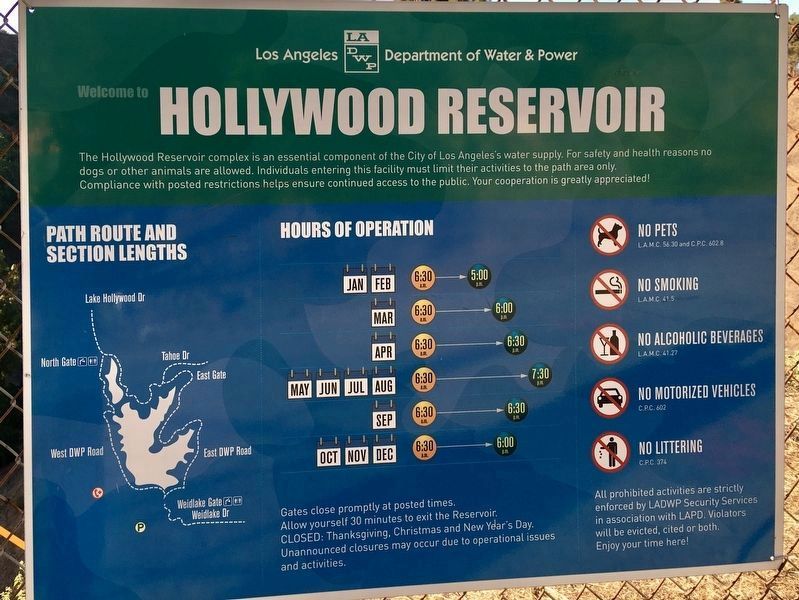
Hollywood Reservoir is circled by a 3.5-mile paved road that is open for walking and bicycling during daylight hours.
In 1989 the dam was designated Los Angeles Historic-Cultural Monument No. 421. The nearby Hollywood Sign is Los Angeles Historic-Cultural Monument No. 111, designated in 1973.
Credits. This page was last revised on November 20, 2023. It was originally submitted on January 9, 2021, by Craig Baker of Sylmar, California. This page has been viewed 9,678 times since then and 1,167 times this year. Last updated on March 3, 2021, by Craig Baker of Sylmar, California. Photos: 1, 2, 3, 4, 5, 6. submitted on January 9, 2021, by Craig Baker of Sylmar, California. 7. submitted on November 20, 2023, by Craig Baker of Sylmar, California. • J. Makali Bruton was the editor who published this page.
