Governors Island in Manhattan in New York County, New York — The American Northeast (Mid-Atlantic)
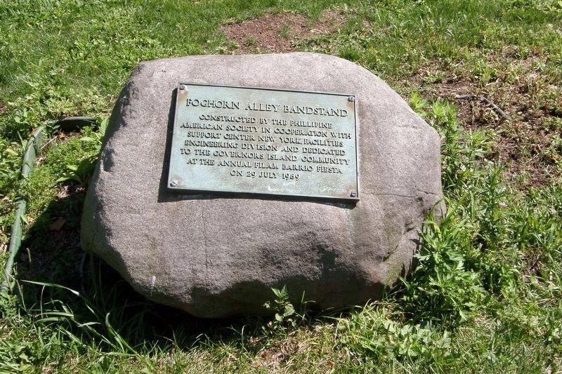
Foghorn Alley Bandstand
Constructed by the Phillipine (sic) American Society in cooperation with support Center New York Facilities Engineering Division and dedicated to the Governors Island community at the annual FilAm Barrio Fiesta on 29 July 1989
Erected 1989 by Philippine American Society.
Topics. This historical marker is listed in these topic lists: Entertainment • Parks & Recreational Areas. A significant historical year for this entry is 1989.
Location. 40° 41.084′ N, 74° 1.519′ W. Marker is in Manhattan, New York, in New York County. It is on Governors Island. Marker is on Craig Road South east of Gresham Road, on the left when traveling east. Touch for map. Marker is at or near this postal address: Governors Island, New York NY 10004, United States of America. Touch for directions.
Other nearby markers. At least 8 other markers are within walking distance of this marker. Staten Island (within shouting distance of this marker); South (within shouting distance of this marker); Picnic Point (about 400 feet away, measured in a direct line); Statue of Liberty Centennial Rededication (about 600 feet away); The Statue of Liberty (approx. 0.2 miles away); The Coast Guard Life (approx. 0.2 miles away); St. Mihiel Dock (approx. ¼ mile away); Coast Guard Housing (approx. ¼ mile away). Touch for a list and map of all markers in Manhattan.
Regarding Foghorn Alley Bandstand.
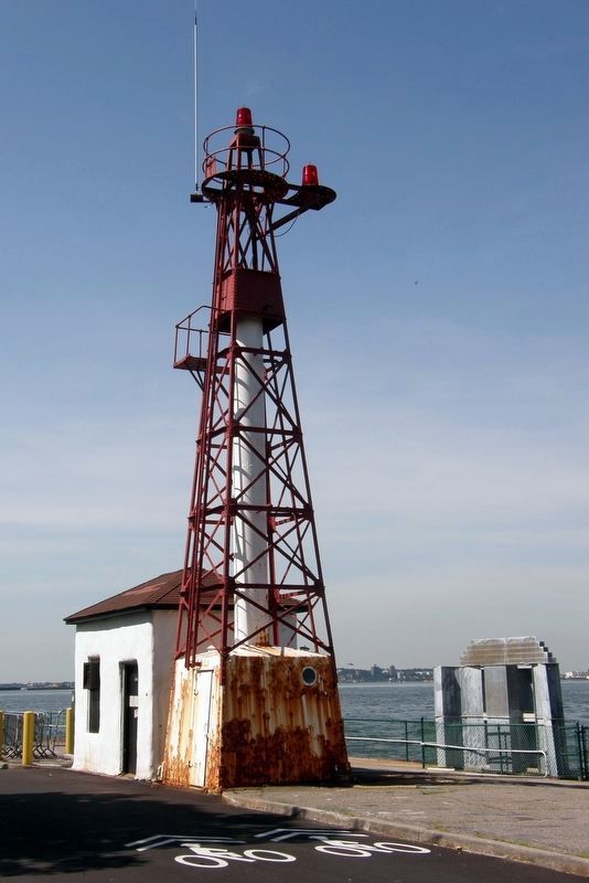
“Foghorn Alley” was the name given to Craig Road, and a lighthouse/foghorn once stood nearby. However, nowhere can there be found any photos or mention of this bandstand’s existence.
Credits. This page was last revised on December 18, 2023. It was originally submitted on March 3, 2021, by Larry Gertner of New York, New York. This page has been viewed 111 times since then and 15 times this year. Photos: 1, 2, 3. submitted on March 3, 2021, by Larry Gertner of New York, New York.
Editor’s want-list for this marker. Any photographic evidence of the bandstand's existence. • Can you help?


