Carlisle in Cumberland County, Pennsylvania — The American Northeast (Mid-Atlantic)
Shell and Be Damned
Carlisle
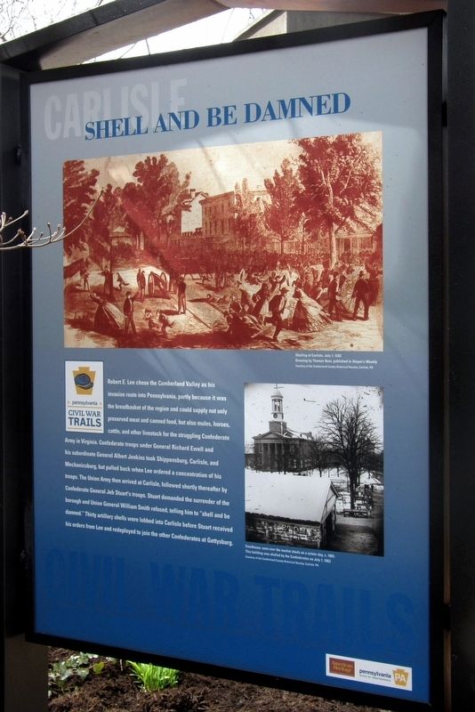
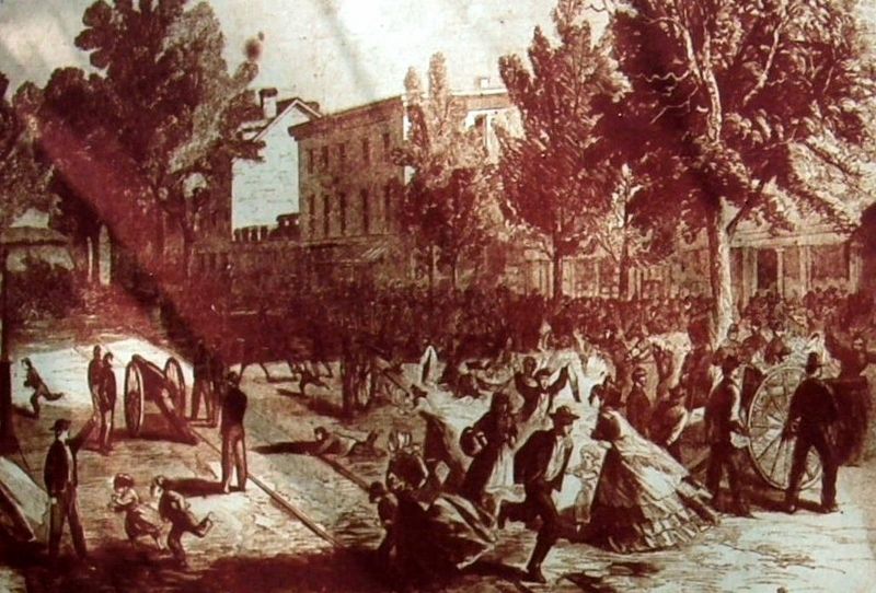
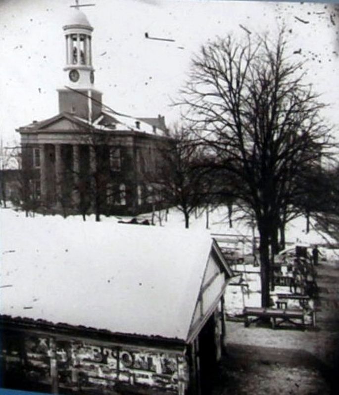
Robert E. Lee chose the Cumberland Valley as his invasion route into Pennsylvania, partly because it was the breadbasket of the region and could supply not only preserved meat and canned goods, but also mules, horses, cattle, and other livestock for the struggling Confederate Army in Virginia. Confederate troops under General Richard Ewell and his subordinate General Albert Jenkins took Shippensburg, Carlisle, and Mechanicsburg, but pulled back when Lee ordered a concentration of his troops. The Union Army arrived at Carlisle, followed shortly thereafter by Confederate General Jeb Stuart’s troops. Stuart demanded surrender of the borough and Union General William Smith refused, telling him to “shell and be damned.” Thirty artillery shells were lobbed into Carlisle before Stuart received his orders from Lee and redeployed to join the other Confederates in Gettysburg.
Erected by Pennsylvania Civil War Trails.
Topics. This historical marker is listed in this topic list: War, US Civil. A significant historical date for this entry is July 1, 1863.
Location. 40° 12.106′ N, 77° 11.46′ W. Marker is in Carlisle, Pennsylvania, in Cumberland County. Marker is on West High Street near North Pitt Street, on the right when traveling west. This wayside is on the opposite side of the "Prelude to Gettysburg" wayside. Touch for map. Marker is at or near this postal address: next to 37 W High St, Carlisle PA 17013, United States of America. Touch for directions.
Other nearby markers. At least 8 other markers are within walking distance of this marker. Prelude to Gettysburg (here, next to this marker); Carlisle's 250th Anniversary Mural (a few steps from this marker); Carlisle Fort (a few steps from this marker); Hot-Chee Dogs (within shouting distance of this marker); Cumberland County Historical Society & Hamilton Library Association (within shouting distance of this marker); The Carlisle Theatre (within shouting distance of this marker); Centenary Building (within shouting distance of this marker); Health Through History (within shouting distance of this marker). Touch for a list and map of all markers in Carlisle.
Also see . . . Battle of Carlisle. Wikipedia entry. (Submitted on May 8, 2020, by Larry Gertner of New York, New York.)
Credits. This page was last revised on January 20, 2022. It was originally submitted on May 8, 2020, by Larry Gertner of New York, New York. This page has been viewed 277 times since then and 26 times this year. Last updated on March 3, 2021, by Carl Gordon Moore Jr. of North East, Maryland. Photos: 1, 2, 3, 4. submitted on May 8, 2020, by Larry Gertner of New York, New York.


