Marker Logo HMdb.org THE HISTORICAL
MARKER DATABASE
“Bite-Size Bits of Local, National, and Global History”
Angelino Heights in Los Angeles in Los Angeles County, California — The American West (Pacific Coastal)
 

Carroll Avenue

1300 Block


Carroll Avenue Marker image. Click for full size.
Photographed By Craig Baker, July 11, 2018
1. Carroll Avenue Marker
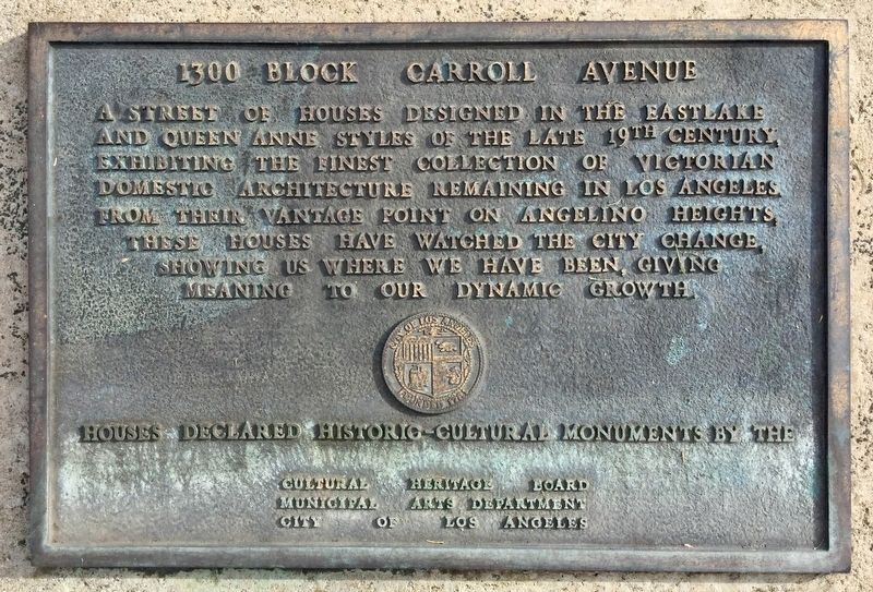
Inscription. A street of houses designed in the Eastlake and Queen Anne styles of the late 19th century, exhibiting the finest collection of Victorian domestic architecture remaining in Los Angeles. From their vantage point on Angelino Heights, these houses have watched the city change, showing us where we have been, giving meaning to our dynamic growth.
 
Erected by City of Los Angeles. (Marker Number 51.)
 
Topics and series. This historical marker is listed in this topic list: Architecture. In addition, it is included in the Los Angeles Historic-Cultural Monument series list.
 
Location. 34° 4.151′ N, 118° 15.243′ W. Marker is in Los Angeles, California, in Los Angeles County. It is in Angelino Heights. Marker is on Carroll Avenue east of Douglas Street, on the right when traveling east. Touch for map. Marker is at or near this postal address: 1324 Carroll Ave, Los Angeles CA 90026, United States of America. Touch for directions.
 
Other nearby markers. At least 8 other markers are within walking distance of this marker. Russell House (within shouting distance of this marker); Community Store (about 400 feet away, measured in a direct line); Winston House (about 500 feet away); Kaiser House (about 500 feet away); Victorian Residence (about 500 feet away); Bates House
Paid Advertisement
Click on the ad for more information.
Please report objectionable advertising to the Editor.
Click or scan to see
this page online
(about 600 feet away); Old Fire Station Number 6 (about 600 feet away); Hall Residence (about 700 feet away). Touch for a list and map of all markers in Los Angeles.
 
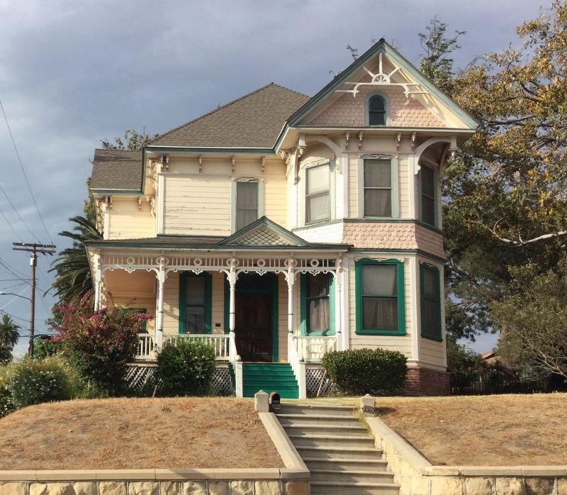
Regarding Carroll Avenue. The entire 1300 block of Carroll Avenue was listed on the National Register of Historic Places in 1976.
Most of the houses were built in the 1880’s.

In 2021, researchers discovered the only remaining house from the old Bunker Hill neighborhood of downtown Los Angeles. Built in 1882, it was moved in 1989 and is now located at 1032 W Edgeware Road, two blocks north of Carroll Avenue.
 
Additional keywords. LAHCM 51, 52, 73, 74, 75, 76, 77, 78, 79
 
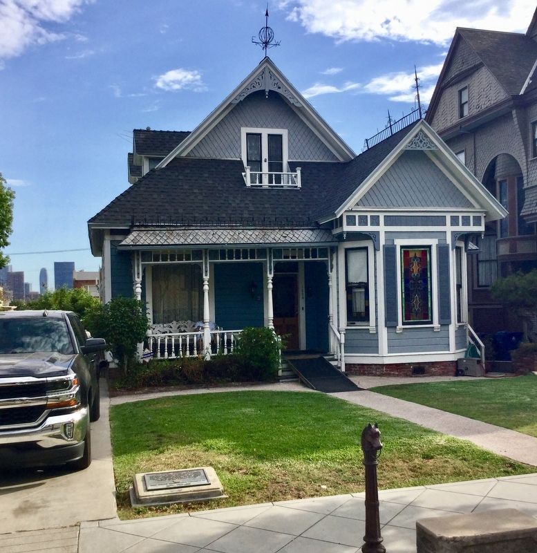
Carroll Avenue Marker image. Click for full size.
Photographed By Craig Baker, July 11, 2018
2. Carroll Avenue Marker
Marker is on the lawn of this house. Downtown Los Angeles office buildings can be seen in the distance.
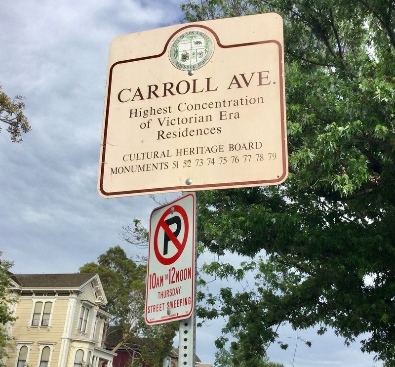
Carroll Avenue Sign image. Click for full size.
Photographed By Craig Baker, July 11, 2018
3. Carroll Avenue Sign
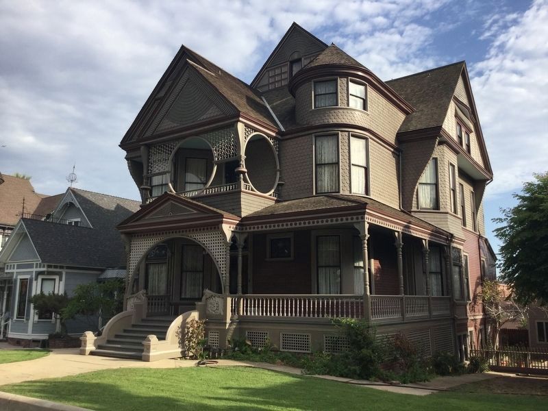
Carroll Avenue House image. Click for full size.
Photographed By Craig Baker, July 11, 2018
4. Carroll Avenue House
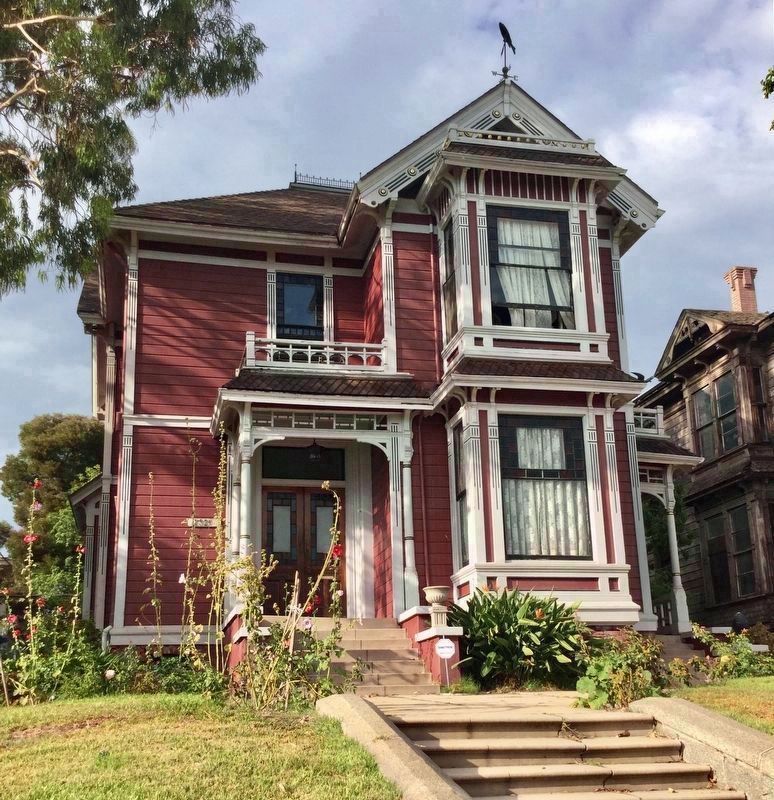
Carroll Avenue House image. Click for full size.
Photographed By Craig Baker, July 11, 2018
5. Carroll Avenue House
Used in the television series Charmed from 1998-2008.
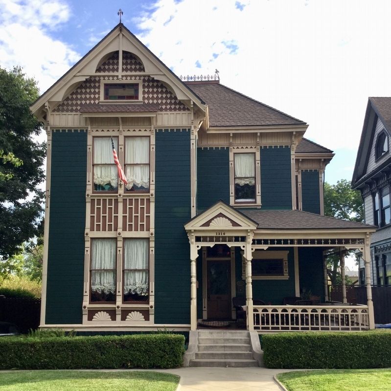
Carroll Avenue House image. Click for full size.
Photographed By Craig Baker, July 11, 2018
6. Carroll Avenue House
Carroll Avenue House image. Click for full size.
Photographed By Craig Baker, July 11, 2018
7. Carroll Avenue House
Vintage Street Lighting image. Click for full size.
Photographed By Craig Baker, July 11, 2018
8. Vintage Street Lighting
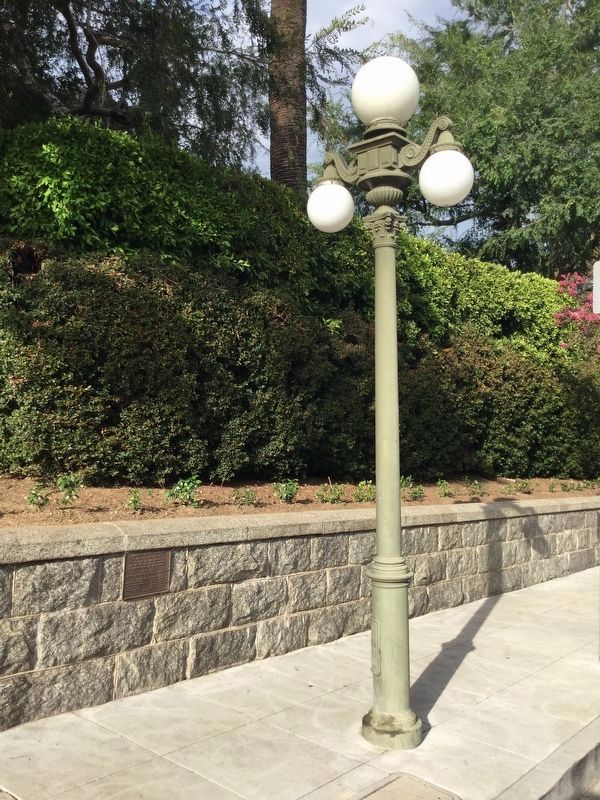
The marker on the wall dedicates the vintage street lighting to Los Angeles commemorating its bicentennial, 1981. Sponsors: Security Pacific Bank, and Walt Disney Productions.
Utility Poles & Overhead Wiring Removed image. Click for full size.
Photographed By Craig Baker, July 11, 2018
9. Utility Poles & Overhead Wiring Removed
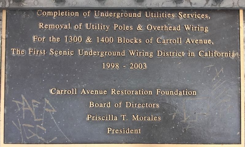
The first Scenic Underground Wiring District in California.
 
 
Credits. This page was last revised on January 26, 2024. It was originally submitted on July 12, 2018, by Craig Baker of Sylmar, California. This page has been viewed 2,466 times since then and 91 times this year. Last updated on March 4, 2021, by Craig Baker of Sylmar, California. Photos:   1, 2, 3, 4, 5, 6, 7, 8, 9. submitted on July 12, 2018, by Craig Baker of Sylmar, California. • J. Makali Bruton was the editor who published this page.
Share this page.  
Share on Tumblr
m=167925

CeraNet Cloud Computing sponsors the Historical Marker Database.
This website earns income from purchases you make after using our links to Amazon.com. We appreciate your support.
Paid Advertisement
Apr. 23, 2024