Silver Springs in Lyon County, Nevada — The American Mountains (Southwest)
Stockton Well
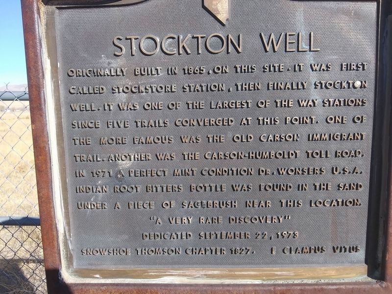
Originally built in 1865, on this site. It was first called Stockstore Station, then finally Stockton Well. It was one of the largest of the way stations since five trails converged at this point. One of the more famous was the old Carson Immigrant Trail another was the Carson-Humboldt Toll Road. In 1971 a perfect mint condition Dr. Wonsers U.S.A. Indian Root Bitters bottle was found in the sand under a piece of sagebush near this location.
"A very rare discovery"
Dedicated September 22, 1973
Snowshoe Thomson Chapter 1827. E Clampus Vitus
Erected 1973 by Snowhshoe Thomson Chapter 1827, E Clampus Vitus.
Topics and series. This historical marker is listed in this topic list: Roads & Vehicles. In addition, it is included in the E Clampus Vitus series list. A significant historical year for this entry is 1865.
Location. 39° 23.399′ N, 119° 16.261′ W. Marker is in Silver Springs, Nevada, in Lyon County. Marker is on Spruce Avenue east of Onyx Street, on the left when traveling east. Touch for map. Marker is in this post office area: Silver Springs NV 89429, United States of America. Touch for directions.
Other nearby markers. At least 8 other markers are within 15 miles of this marker, measured as the crow flies. Desert Well Station (approx. 5.4 miles away); Crossing Paths (approx. 6.7 miles away); Bucklands Station Famous Historical Point (approx. 6.7 miles away); The Longest Ride (approx. 6.7 miles away); Buckland's Station (approx. 6.7 miles away); Williams Station (approx. 10.4 miles away); Lahontan Dam (approx. 12 miles away); America's First Transcontinental Highway (approx. 14.2 miles away). Touch for a list and map of all markers in Silver Springs.
Also see . . . Dr. Wonsers USA Bitters bottle example. (Submitted on March 7, 2021.)
Credits. This page was last revised on March 7, 2021. It was originally submitted on March 4, 2021, by Lance C Johnson of Sun Valley, Nevada. This page has been viewed 194 times since then and 24 times this year. Photo 1. submitted on March 4, 2021, by Lance C Johnson of Sun Valley, Nevada. • J. Makali Bruton was the editor who published this page.
Editor’s want-list for this marker. A wide view photo of the marker and the surrounding area together in context. • Can you help?
