McKinney in Collin County, Texas — The American South (West South Central)
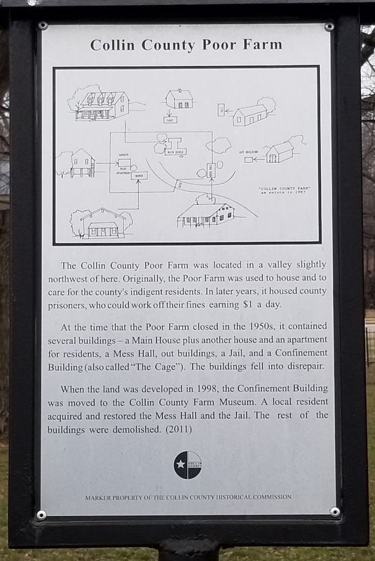
Collin County Poor Farm
The Collin County Poor Farm was located in a valley slightly northwest of here. Originally, the Poor Farm was used to house and to care for the county's indigent residents. In later years, it housed county prisoners, who could work off their fines earning $1 a day.
At the time that the Poor Farm closed in the 1950s, it contained several buildings - a Main House plus another house and an apartment for residents, a Mess Hall, out buildings, a Jail, and a Confinement Building (also called "The Cage"). The buildings fell into disrepair.
When the land was developed in 1998, the Confinement Building was moved to the Collin County Farm Museum. A local resident acquired and restored the Mess Hall and the Jail. The rest of the buildings were demolished.
Erected 2011 by Collin County Historical Commission.
Topics. This historical marker is listed in this topic list: Charity & Public Work. A significant historical year for this entry is 1998.
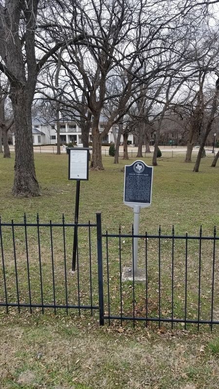
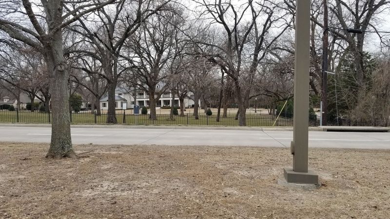
Location. 33° 11.09′ N, 96° 39.798′ W. Marker is in McKinney, Texas, in Collin County. Marker is at the intersection of Hardin Road and Chancellor Lane, on the left when traveling north on Hardin Road. Touch for map. Marker is in this post office area: McKinney TX 75072, United States of America. Touch for directions.
Other nearby markers. At least 8 other markers are within 3 miles of this marker, measured as the crow flies . Collin County Farm (here, next to this marker); Williams Cemetery (approx. one mile away); George McGarrah Cemetery (approx. 1.3 miles away); First Christian Church of McKinney (approx. 1.9 miles away); William Clinton and Anna Belle Thompson House (approx. 2.2 miles away); Bradley Cemetery (approx. 2.3 miles away); Buckner Cemetery (approx. 2.4 miles away); Kirkpatrick House (approx. 2.4 miles away). Touch for a list and map of all markers in McKinney.
Credits. This page was last revised on March 5, 2021. It was originally submitted on March 5, 2021, by James Hulse of Medina, Texas. This page has been viewed 354 times since then and 46 times this year. Photos: 1, 2, 3. submitted on March 5, 2021, by James Hulse of Medina, Texas.


