College Station in Brazos County, Texas — The American South (West South Central)
Rock Prairie School and Church
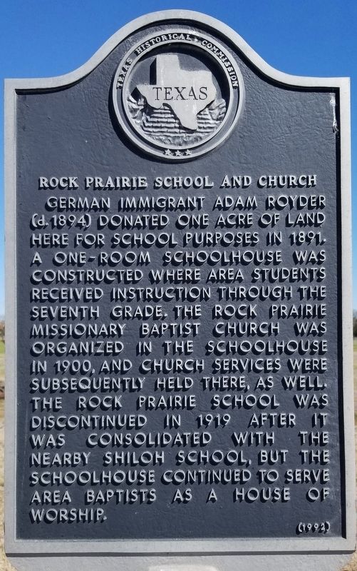
German immigrant Adam Royder (d. 1894) donated one acre of land here for school purposes in 1891. A one-room schoolhouse was constructed where area students received instruction through the seventh grade. The Rock Prairie Missionary Baptist Church was organized in the schoolhouse in 1900, and church services were subsequently held there, as well. The Rock Prairie School was discontinued in 1919 after it was consolidated with the nearby Shiloh School, but the schoolhouse continued to serve area Baptists as a house of worship.
Erected 1992 by Texas Historical Commission. (Marker Number 8692.)
Topics. This historical marker is listed in these topic lists: Churches & Religion • Education. A significant historical year for this entry is 1891.
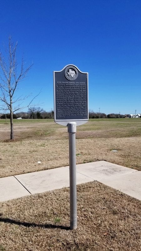
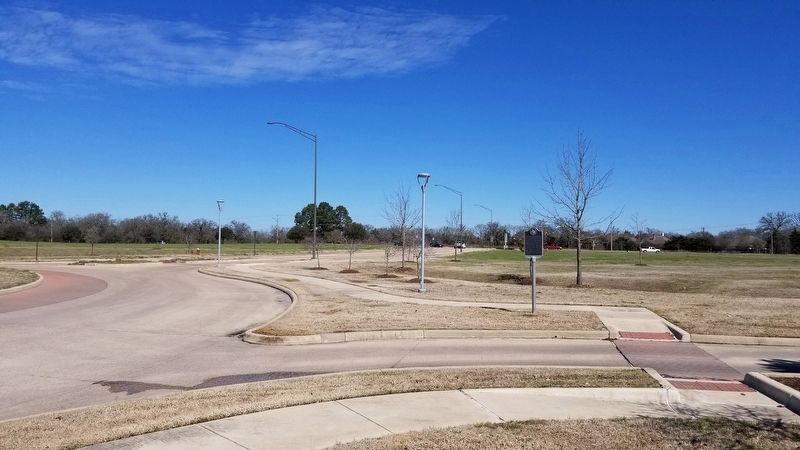
Location. 30° 35.056′ N, 96° 16.824′ W. Marker is in College Station, Texas, in Brazos County. Marker is on Scott and White Drive, 0.1 miles south of Rock Prairie Road, on the right when traveling north. The marker is located in front of the parking lot of the Baylor Scott & White Medical Center at the roundabout. Touch for map. Marker is at or near this postal address: 700 Scott and White Drive, College Station TX 77845, United States of America. Touch for directions.
Other nearby markers. At least 8 other markers are within 4 miles of this marker, measured as the crow flies. The Luke Patranella Memorial Center (approx. 2.1 miles away); Shiloh Community (approx. 2.1 miles away); A & M College Consolidated Rural School (approx. 2.4 miles away); African American Education in College Station (approx. 3.2 miles away); Wellborn Cemetery (approx. 3.7 miles away); Colonel Joe T. Haney Field (approx. 3.8 miles away); Texas A&M Cadet Edwin O. Bellinger ’36 Memorial Bugle Stand (approx. 3.8 miles away); J.V. "Pinky" Wilson (approx. 3.9 miles away). Touch for a list and map of all markers in College Station.
Credits. This page was last revised on March 7, 2021. It was originally submitted on March 6, 2021, by James Hulse of Medina, Texas. This page has been viewed 179 times since then and 15 times this year. Photos: 1, 2, 3. submitted on March 6, 2021, by James Hulse of Medina, Texas.


