Death Valley National Park in Inyo County, California — The American West (Pacific Coastal)
Aguereberry Camp
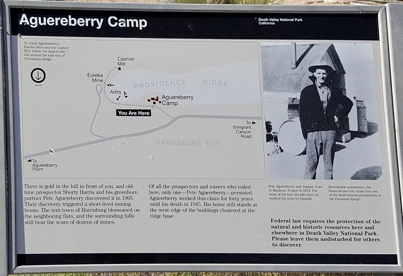
There is gold in the hill in front of you, and old- time prospector Shorty Harris and his greenhorn partner Pete Aguereberry discovered it in 1905. Their discovery triggered a short-lived mining boom. The tent town of Harrisburg blossomed on the neighboring flats, and the surrounding hills still bear the scars of dozens of mines.
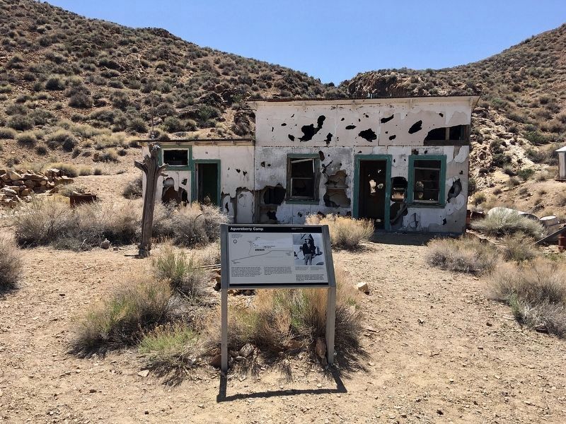
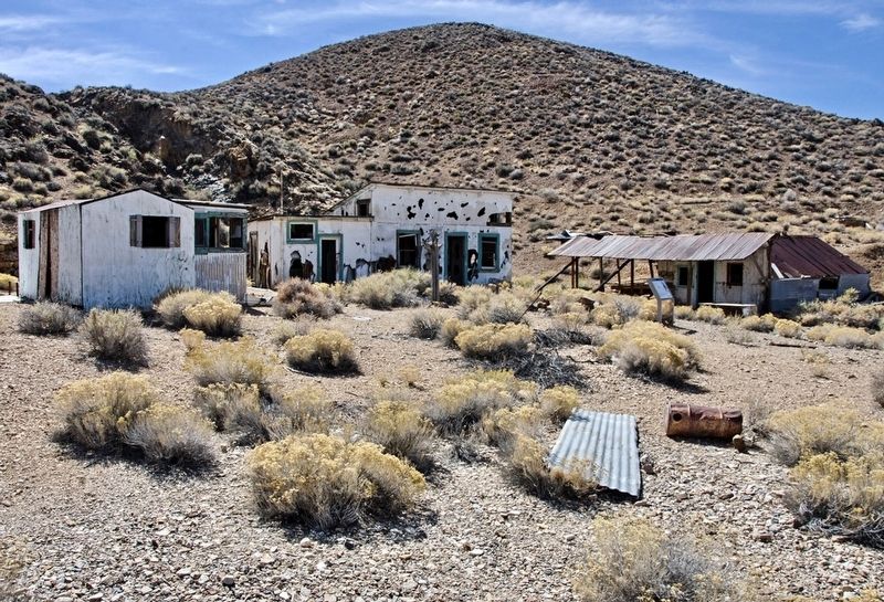
Of all the prospectors and miners who toiled here, only one - Pete Aguereberry - persisted. Aguereberry worked this claim for forty years until his death in 1945. His home still stands at the west edge of the buildings clustered at the ridge base.
Pete Aguereberry was Basque, born in Mauleon, France in 1874. For most of his four decades here he worked his mine by himself. Remarkable persistence, not financial success, made him one of the most famous prospectors in the Panamint Range.
Federal law requires the protection of the natural and historic resources here and elsewhere in Death Valley National Park. Please leave them undisturbed for others to discover.
To reach Aguereberry's Eureka Mine and the Cashier Mill, follow the road to the left around the east end of Providence Ridge.
Erected by Death Valley National Park.
Topics. This historical marker is listed in these topic lists: Industry & Commerce • Settlements & Settlers. A significant historical year for this entry is 1905.
Location. 36° 21.787′ N, 117° 6.61′ W. Marker is in Death Valley National Park, California, in Inyo County. Marker can be reached from Aguereberry Point Road, 1.8 miles east of Emigrant Canyon Road, on the right when traveling east. Park at Eureka Mine and walk ¼-mile northwest. Touch for map. Marker is in this post office area: Death Valley CA 92328, United States of America. Touch for directions.
Other nearby markers. At least 8 other markers are within 9 miles of this marker, measured as the crow flies. The Eureka Mine (approx. 0.2 miles away); Aguereberry Point (approx. 3½ miles away); Skidoo (approx. 5.2 miles away); Journigan’s Mill (approx. 5.3 miles away); Skidoo Mill (approx. 5.7 miles away); Wildrose CCC Camp (approx. 8 miles away); Skidoo Pipeline (approx. 8.1 miles away); Wildrose Charcoal Kilns (approx. 8.3 miles away). Touch for a list and map of all markers in Death Valley National Park.
Credits. This page was last revised on August 20, 2023. It was originally submitted on March 6, 2021, by Craig Baker of Sylmar, California. This page has been viewed 211 times since then and 16 times this year. Photos: 1. submitted on March 6, 2021, by Craig Baker of Sylmar, California. 2. submitted on April 21, 2022, by Craig Baker of Sylmar, California. 3. submitted on March 6, 2021, by Craig Baker of Sylmar, California. • J. Makali Bruton was the editor who published this page.


