Prince William Forest Park in Triangle in Prince William County, Virginia — The American South (Mid-Atlantic)
Saplings of Hope
Prince William Forest Park
| — | National Park Service, U.S. Department of the Interior | — |
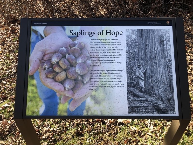
One hundred years ago, the American chestnut (Castanea dentata) was the most abundant tree in the eastern United States, making up 25% of the forest. Its high-protein chestnuts provided food for humans, white-tailed deer, wild turkey, black bear, and the now-extinct passenger pigeon. The American chestnut die-off was swift and extensive, altering economies and ecosystems dependent on the tree's many by-products.
The trees before you represent our heritage and hope for the future. Now imported plants are held in quarantine to prevent the spread of diseases like the chestnut blight. You can help by selecting native species to plant in your yard. Someday you may be able to choose a blight-resistant, hybrid American chestnut.
Erected by National Park Service, U.S. Department of the Interior.
Topics. This historical marker is listed in these topic lists: Environment • Horticulture & Forestry • Natural Resources.
Location. 38° 33.549′ N, 77° 20.924′ W. Marker is in Triangle, Virginia, in Prince William County. It is in Prince William Forest Park. It is on
this page online

Regionally, this marker is in the Washington Metropolitan Area, in Northern Virginia, and in the Piedmont. It is also in the American South, specifically in the Upper South, in the Mid-Atlantic, and on the Eastern Seaboard. Globally, it is in the North Atlantic Region, North America, the Western Hemisphere, the Western World, and the Anglosphere. Historically, it finds itself in what was once the territory of the Mississippian Culture, one of the original Thirteen Colonies, one of the Confederate States of America, and the Antebellum South.
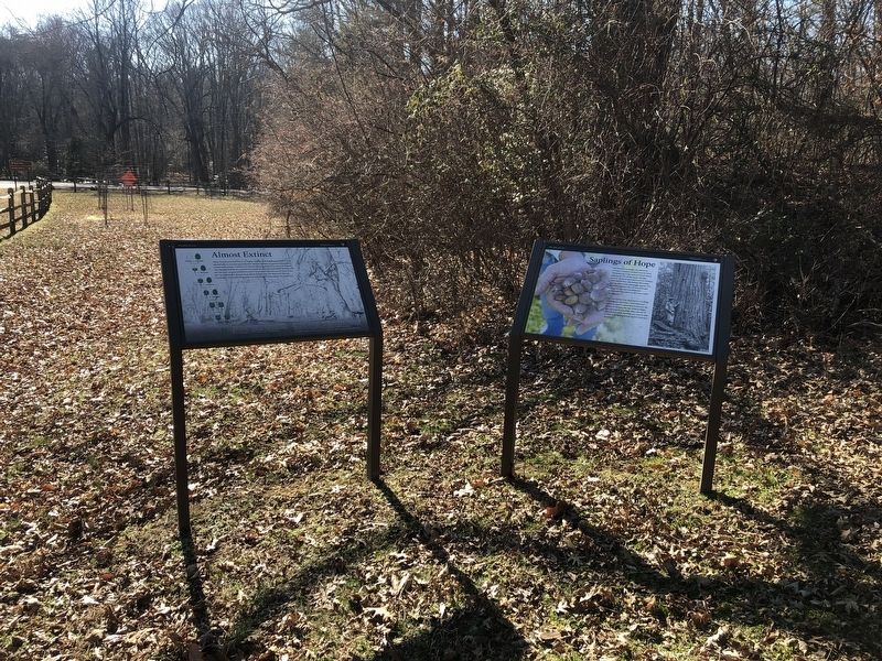
Other nearby markers. At least 8 other markers are within walking distance of this marker: Almost Extinct (here, next to this marker); Flowering Dogwood (about 400 feet away, measured in a direct line); Piedmont Forest Trail (about 400 feet away); Eastern Red Cedar (about 500 feet away); Black Gum (about 500 feet away); Historic Preservation and Maintenance
Credits. This page was last revised on September 12, 2023. It was originally submitted on March 7, 2021, by Devry Becker Jones of Washington, District of Columbia. This page has been viewed 190 times since then and 12 times this year. Photos: 1, 2. submitted on March 7, 2021, by Devry Becker Jones of Washington, District of Columbia.
