Governors Island in Manhattan in New York County, New York — The American Northeast (Mid-Atlantic)
Demolition on South Island
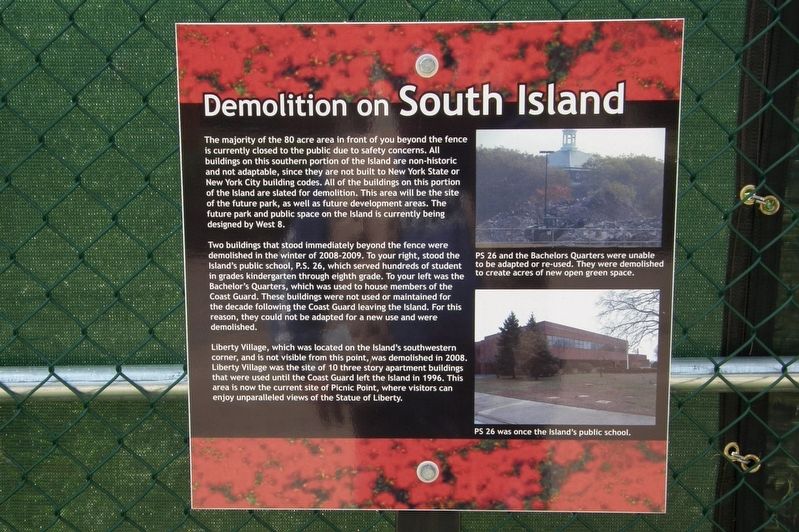
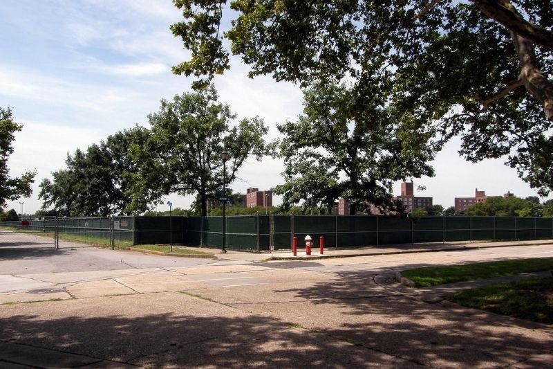
The majority of the 80 acre area in front of you beyond the fence is currently closed to the public due to safety concerns. All buildings on this southern portion of the Island are non-historic and not adaptable, since they are not built to New York State or New York City building codes. All of the buildings on this portion of the island are slated for demolition. The area will be the site of the future park, as well as future development areas. The future park and public space on the Island is currently being designed by West 8.
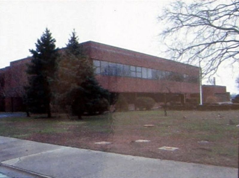
Two buildings that stood immediately beyond the fence were demolished in the winter of 2009-2009. To your right, stood the Islandís public school, P.S. 26, which served hundreds of students in grades kindergarten through eighth grade. To your left was the Bachelorís (sic) Quarters, which was used to house members of the Coast Guard. These buildings were not used or maintained for the decade following the Coast Guard leaving the Island. For this reason, they could not be adapted for a new use and were demolished.
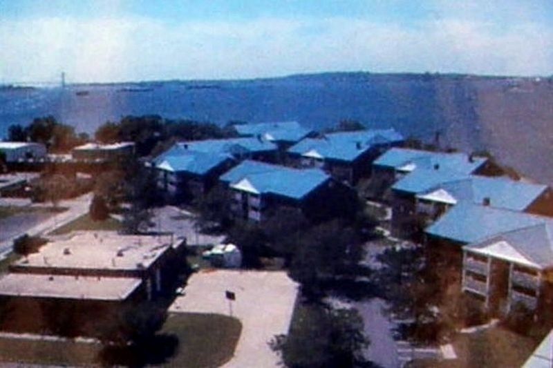
Liberty Village, which was located on the Islandís southwestern corner, and is not visible from this point, was demolished in 2008. Liberty Village was the site of 10 three story apartment buildings that were used until the Coast Guard left the Island in 1996. This area is now the current site of Picnic Point, where visitors can enjoy unparalleled views of the Statue of Liberty.
Topics. This historical marker is listed in these topic lists: Architecture • Parks & Recreational Areas. A significant historical year for this entry is 2008.
Location. 40° 41.354′ N, 74° 1.151′ W. Marker is in Manhattan, New York, in New York County. It is on Governors Island. Marker is at the intersection of Division Road and Hays Road, on the right when traveling east on Division Road. Touch for map. Marker is at or near this postal address: Governors Island, Brooklyn NY 11231, United States of America. Touch for directions.
Other nearby markers. At least 8 other markers are within walking distance of this marker. The Early Birds (a few steps from this marker); Flight on Governors Island (within shouting distance of this marker); Liggett Hall (about 300 feet away, measured in a direct line); Clayton Road (about 300 feet away); Slate Roofs on Colonels Row (about 400 feet away); Division Road (about 400 feet away); Purchase of Governors Island Monument (about 400 feet away); Polo on Governors Island (about 500 feet away). Touch for a list and map of all markers in Manhattan.
Also see . . . The Governors Island Prosect. West 8 website entry (Submitted on March 9, 2021, by Larry Gertner of New York, New York.)
Credits. This page was last revised on February 5, 2024. It was originally submitted on March 9, 2021, by Larry Gertner of New York, New York. This page has been viewed 95 times since then and 11 times this year. Photos: 1, 2, 3, 4, 5. submitted on March 9, 2021, by Larry Gertner of New York, New York.
