Spanish Fort in Baldwin County, Alabama — The American South (East South Central)
Confederate Redoubt No. 5
⎯⎯⎯
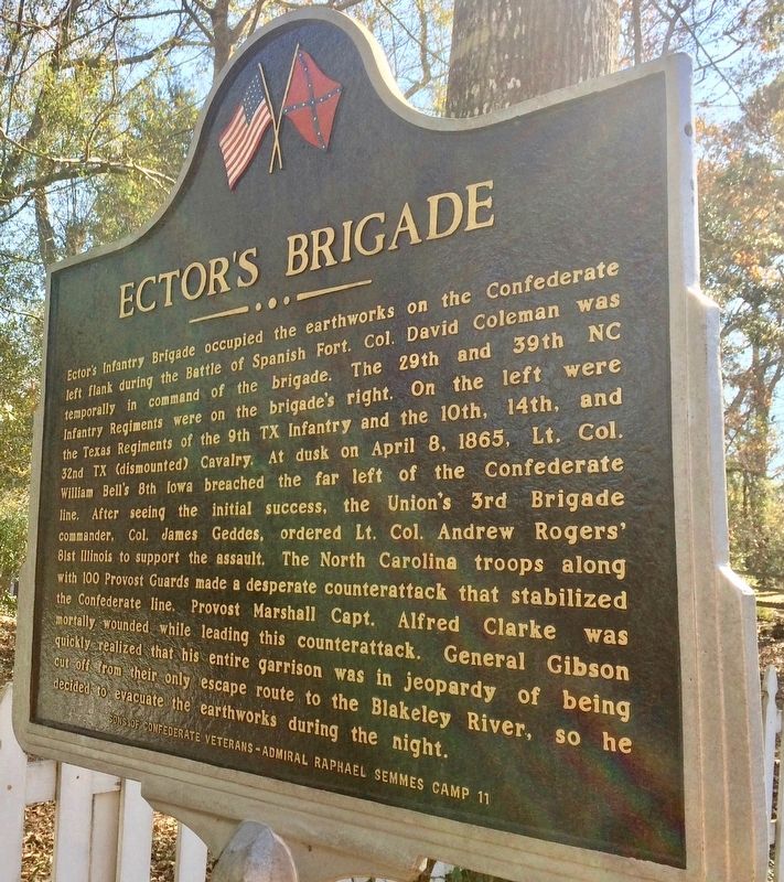
Ector's Brigade

Photographed by Mark Hilton, January 14, 2017
1. Confederate Redoubt No. 5 Marker
this page online
Erected 2013 by Sons of Confederate Veterans - Admiral Raphael Semmes Camp 11.
Topics. This historical marker is listed in these topic lists: Forts and Castles • War, US Civil. A significant historical date for this entry is April 6, 1865.
Location. 30° 41.056′ N, 87° 54.79′ W. Marker is in Spanish Fort, Alabama, in Baldwin County. It is on Artillery Range Street north of Yankee Trove, on the right when traveling north. Touch for map. Marker is at or near this postal
Photographed by Mark Hilton, January 14, 2017
2. Ector's Brigade Marker (Side 2)

Regionally, this marker is on the Gulf Coast and in the Mobile Bay area. It is also in the American South, specifically in the Deep South, and on the Gulf Coast. Globally, it is in North America, a Gulf of Mexico state, the Western Hemisphere, the Western World, and the Anglosphere. Historically, it finds itself in what was once New Spain, the Viceroyalty of New France, the territory of the Mississippian Culture, one of the Confederate States of America, and the Antebellum South.
Other nearby markers. At least 8 other markers are within walking distance of this marker: The 8th Iowa Infantry (about 500 feet away, measured in a direct line); Confederate Redoubt No. 4 / Holtzclaw's Brigade (approx. 0.2 miles away); The Final Assault (approx. ¼ mile away); The Union First Parallel / Union Siege Battery No. 16 (approx. 0.3 miles away); Red Fort (approx. 0.3 miles away); Union Siege Battery No. 21 / 3rd Brigade of Carr's Division (approx. 0.4 miles away); Confederate Redoubt No. 3 / Gibson’s Brigade (approx. half a mile away);
Photographed by Mark Hilton, January 14, 2017
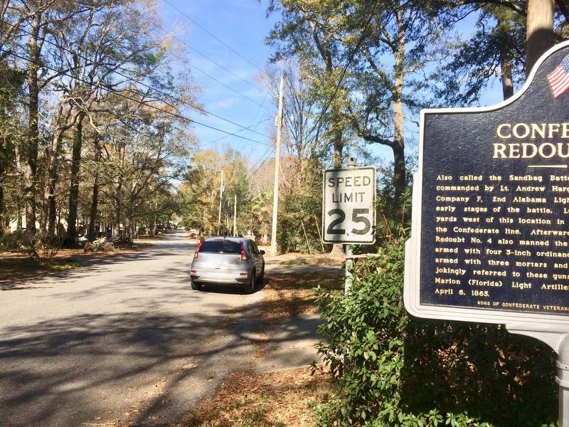
3. The view northerly on Artillery Range Street
More about this marker. Over the last few years these markers have been repainted and repaired.
This marker is located very close to a hedge row.
Regarding Confederate Redoubt No. 5 / Ector's Brigade. The marker incorrectly shows the word "ordinance" on the Confederate Redoubt No. 5 marker. It should be "ordnance" (no "i").
Also see . . . Civil War wiki on the Battle of Spanish Fort. (Submitted on January 16, 2017, by Mark Hilton of Montgomery, Alabama.)
Photographed by Mark Hilton, January 14, 2017
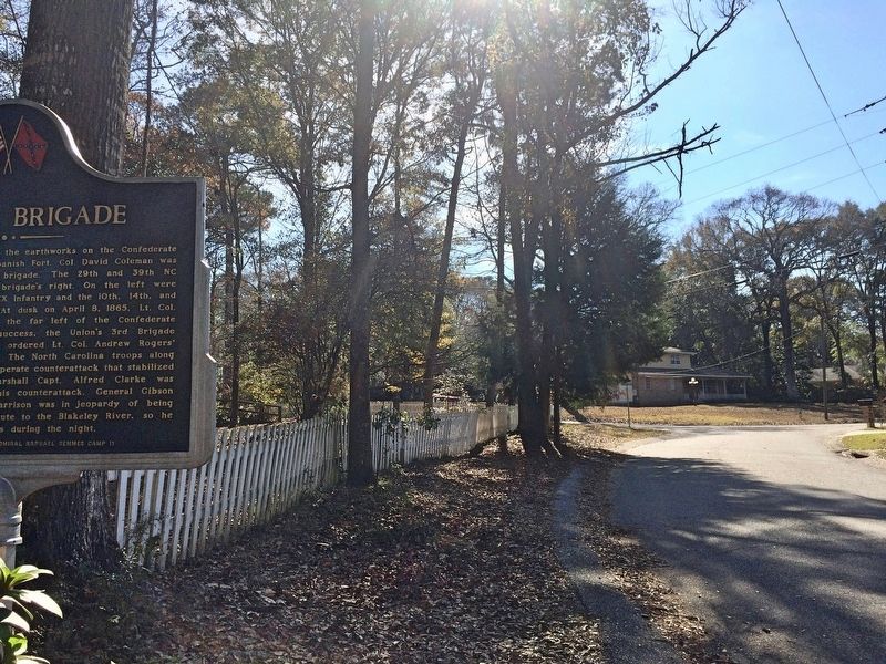
4. Looking southerly towards the intersection of Yankee Trove.
Credits. This page was last revised on August 12, 2025. It was originally submitted on January 16, 2017, by Mark Hilton of Montgomery, Alabama. This page has been viewed 1,575 times since then and 39 times this year. Last updated on March 10, 2021, by Bradley Owen of Morgantown, West Virginia. Photos: 1, 2, 3, 4. submitted on January 16, 2017, by Mark Hilton of Montgomery, Alabama.
