Knoxville in Washington County, Maryland — The American Northeast (Mid-Atlantic)
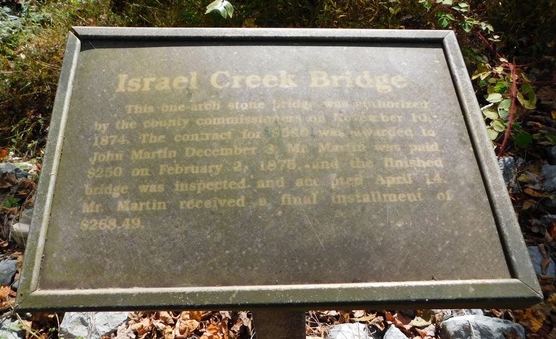
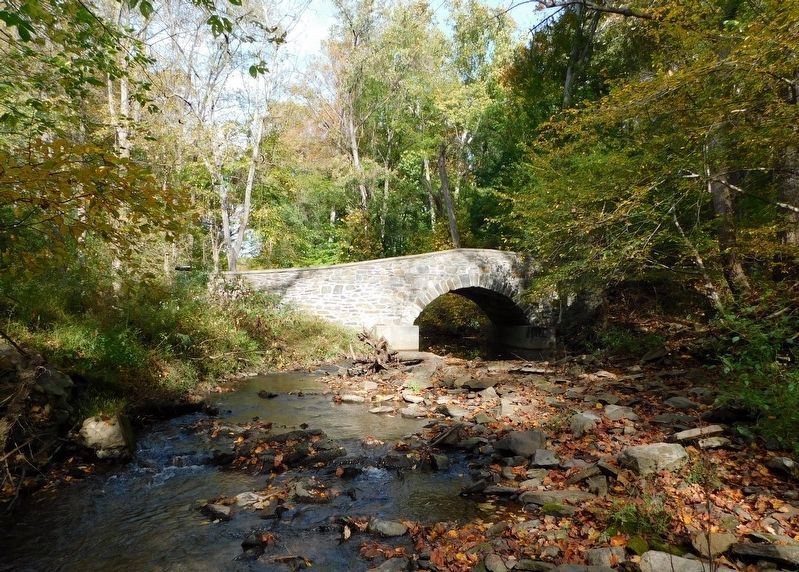
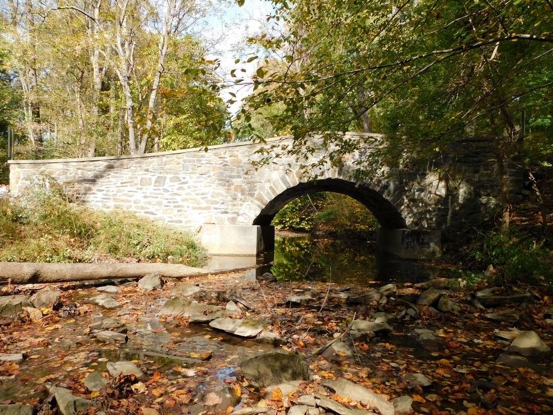
Israel Creek Bridge
Erected by Washington County Historical Advisory Committee.
Topics and series. This historical marker is listed in this topic list: Bridges & Viaducts. In addition, it is included in the Maryland, Washington County Historical Advisory Committee series list. A significant historical date for this entry is February 2, 1875.
Location. 39° 20.994′ N, 77° 40.956′ W. Marker is in Knoxville, Maryland, in Washington County. Marker is on Valley Road, 0.2 miles west of Garretts Mill Road, on the right when traveling east. Marker is at the southwest edge of the bridge. Touch for map. Marker is at or near this postal address: 1240 Valley Road, Knoxville MD 21758, United States of America. Touch for directions.
Other nearby markers. At least 8 other markers are within 3 miles of this marker, measured as the crow flies. Battle of Maryland Heights (approx. 1˝ miles away); Frederick County / Washington County (approx. 1˝ miles away); St. Luke’s Episcopal Church (approx. 1.9 miles away); Stone Fort (approx. 2 miles away); Interior Fort (approx. 2 miles away); Exterior Fort (approx. 2.1 miles away); 100 - Pounder Battery - Heaviest and Highest (approx. 2.2 miles away); Civil War Campgrounds (approx. 2.3 miles away).
Credits. This page was last revised on March 11, 2021. It was originally submitted on March 10, 2021, by Bradley Owen of Morgantown, West Virginia. This page has been viewed 337 times since then and 66 times this year. Photos: 1, 2, 3. submitted on March 10, 2021, by Bradley Owen of Morgantown, West Virginia. • Bill Pfingsten was the editor who published this page.


