Simpsonville in Greenville County, South Carolina — The American South (South Atlantic)
Simpsonville Elementary School
⎯⎯⎯
Simpsonville High School
Photographed by Brandon D Cross, February 22, 2021
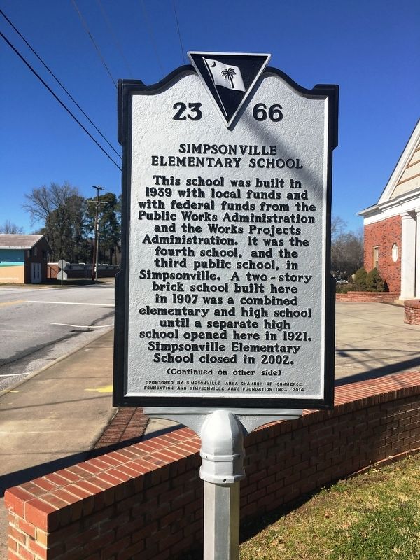
1. Simpsonville Elementary School Marker
(front)
Simpsonville Elementary
This school was built in 1939 with local funds and with federal funds from the Public Works Administration and the Works Projects Administration. It was the fourth school, and the third public school, in Simpsonville. A two-story brick school built here in 1907 was a combined elementary and high school until a separate high school opened here in 1921. Simpsonville Elementary School closed in 2002.
Simpsonville High School
Erected 2014 by Simpsonville Area Chamber of Commerce Foundation and Simpsonville Arts Foundation, Inc. (Marker Number 23-66.)
Topics. This historical marker is listed in these topic lists: Charity & Public Work
this page online
Location. 34° 44.405′ N, 82° 15.128′ W. Marker is in Simpsonville, South Carolina, in Greenville County. It is at the intersection of Academy Street and East College Street, on the right when traveling north on Academy Street. Touch for map. Marker is at or near this postal address: 110 Academy Street, Simpsonville SC 29681, United States of America. Touch for directions.

Regionally, this marker is in Upstate and in the Greater Greenville-Spartanburg Area. It is also in the American South, specifically in the Deep South, in Appalachia, and specifically in Southern Appalachia. Globally, it is in North America, the Western Hemisphere, the Western World, and the Anglosphere. Historically, it finds itself in what was once the original Cherokee Nation, the territory of the Mississippian Culture, one of the original Thirteen Colonies, one of the Confederate States of America, and the Antebellum South.
Other nearby markers. At least 8 other markers are within walking distance of this marker: Simpsonville Municipal Cemetery (within shouting distance of this marker);
Photographed by Brandon D Cross, February 22, 2021
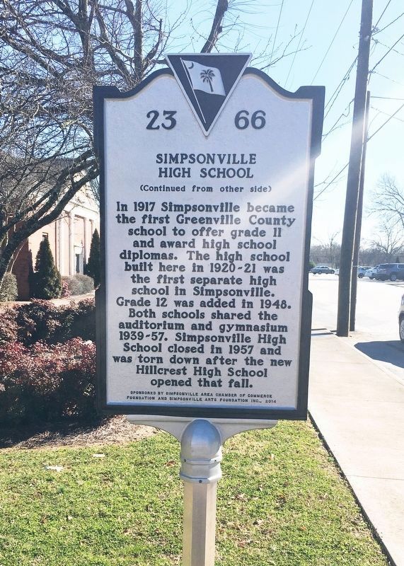
2. Simpsonville High School Marker
Photographed by Brandon D Cross, February 22, 2021
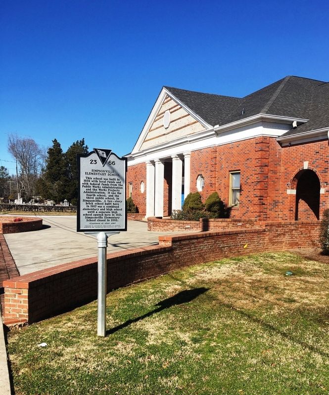
3. Simpsonville Elementary School Marker
Credits. This page was last revised on March 12, 2021. It was originally submitted on March 11, 2021, by Brandon D Cross of Flagler Beach, Florida. This page has been viewed 824 times since then and 94 times this year. Photos: 1, 2, 3. submitted on March 11, 2021, by Brandon D Cross of Flagler Beach, Florida. • Bernard Fisher was the editor who published this page.
