Bryan in Brazos County, Texas — The American South (West South Central)
Martin's Place
Photographed by James Hulse, March 6, 2021
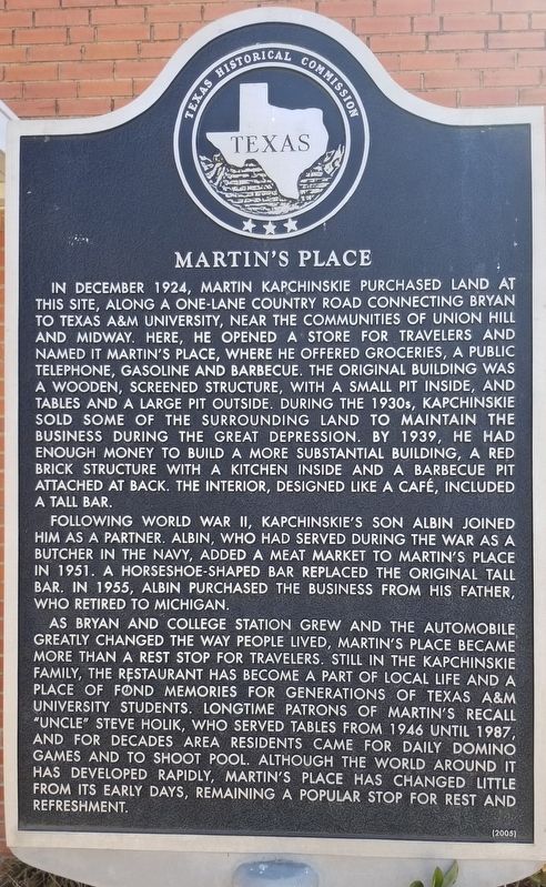
1. Martin's Place Marker
In December 1924, Martin Kapchinskie purchased land at this site, along a one-lane country road connecting Bryan to Texas A&M University, near the communities of Union Hill and Midway. Here, he opened a store for travelers and named it Martin's Place, where he offered groceries, a public telephone, gasoline and barbecue. The original building was a wooden, screened structure, with a small pot inside, and tables and a large pit outside. During the 1930s, Kapchinskie sold some of the surrounding land to maintain the business during the Great Depression. By 1939, he had enough money to build a more substantial building, a red brick structure with a kitchen inside and a barbecue pit attached at back. The interior, designed like a café, included a tall bar.
Following World War II, Kapchinskie's son Albin joined him as a partner. Albin, who had served during the War as a butcher in the Navy, added a meat market to Martin's Place in 1951. A horseshoe-shaped bar replaced the original tall bar. In 1955, Albin purchased the business from his father, who retired to Michigan.
As Bryan and College Station grew and the automobile greatly changed the way people lived, Martin's Place became more than a rest stop for travelers. Still in the Kapchinskie family, the restaurant has become a part of local life and a place of fond memories for generations of Texas A&M University students. Longtime patrons of Martin's recall "Uncle" Steve Holik, who served tables from 1946 until 1987, and for decades area residents came for daily domino games and to shoot pool. Although the world around it has developed rapidly, Martin's Place has changed little from its early days, remaining a popular stop for rest and refreshment
Erected 2005 by Texas Historical Commission. (Marker Number 12943.)
Topics. This historical marker is
this page online
Location. 30° 38.227′ N, 96° 21.365′ W. Marker is in Bryan, Texas, in Brazos County. It is at the intersection of South College Avenue and Sulphur Springs Road, on the right when traveling north on South College Avenue. The marker is located at the north entrance to Martin's Place. Touch for map. Marker is at or near this postal address: 3403 South College Avenue, Bryan TX 77801, United States of America. Touch for directions.

Regionally, this marker is in the Prairies & Lakes Region. It is also in the American South. Globally, it is in North America, a Gulf of Mexico state, the Western Hemisphere, the Western World, and the Anglosphere. Historically, it finds itself in what was once New Spain, the Republic of Texas, one of the Confederate States of America, and the Antebellum South.
Other nearby markers. At least 8 other markers are within 2 miles of this marker, measured as the crow flies: The First National Bank of Bryan (approx. 0.6 miles away); A&M United Methodist Church (approx. 1.4 miles away);
Photographed by James Hulse, March 6, 2021
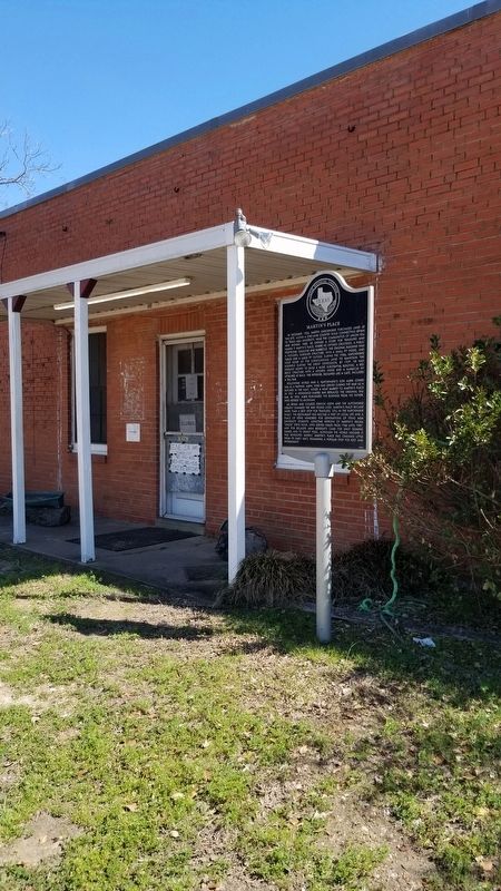
2. Martin's Place and Marker
Photographed by James Hulse, March 6, 2021
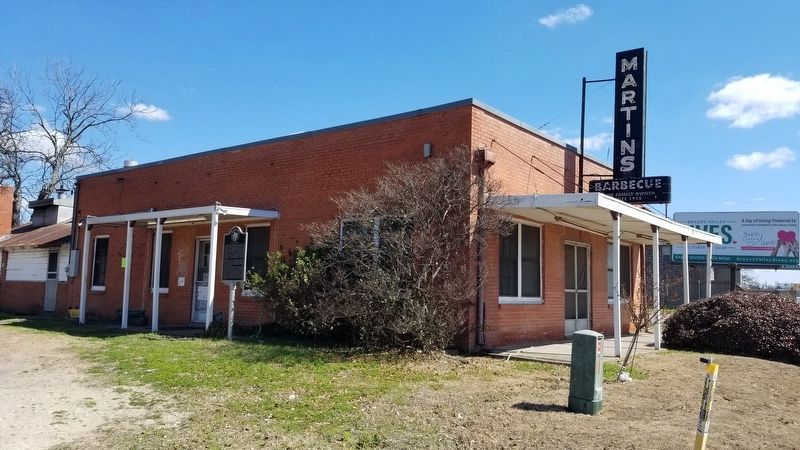
3. Martin's Place
Photographed by James Hulse, March 6, 2021
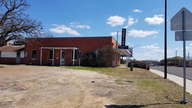
4. The view of the Martin's Place from the road
Credits. This page was last revised on March 11, 2021. It was originally submitted on March 11, 2021, by James Hulse of Medina, Texas. This page has been viewed 595 times since then and 57 times this year. Photos: 1, 2, 3, 4. submitted on March 11, 2021, by James Hulse of Medina, Texas.
