
Lanexa in New Kent County, Virginia — The American South (Mid-Atlantic)
Cooper's Mill
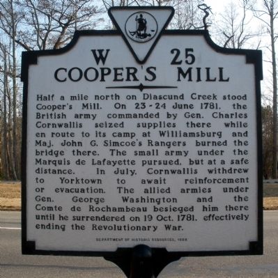
Photographed by Bernard Fisher, March 7, 2009
1. Cooper's Mill Marker
Erected 1998 by Department of Historic Resources. (Marker Number W-25.)
Topics and series. This historical marker is listed in this topic list: War, US Revolutionary. In addition, it is included in the Virginia Department of Historic Resources (DHR) series list. A significant historical date for this entry is June 14, 1781.
Location. 37° 25.45′ N, 76° 53.683′ W. Marker is in Lanexa, Virginia, in New Kent County. It is at the intersection of Pocahontas Trail (U.S. 60) and Liberty Church Road, on the left when traveling east on Pocahontas Trail. Touch for map.
this page online

Regionally, this marker is on Virginia’s Peninsula and in Coastal Virginia. It is also in the American South, specifically in the Upper South, in the Tidewater, and on the Eastern Seaboard. Globally, it is in the North Atlantic Region, North America, the Western Hemisphere, the Western World, and the Anglosphere. Historically, it finds itself in what was once the territory of the Mississippian Culture, one of the original Thirteen Colonies, one of the Confederate States of America, and the Antebellum South.
Other nearby markers. At least 8 other markers are within 4 miles of this marker, measured as the crow flies: Tyree's Plantation (here, next to this marker); Diascund Bridge (a few steps from this marker); Liberty Baptist Church (a few steps from this marker); Fort James (approx. 1.1 miles away); Chickahominy Water Trail (approx. 2.6 miles away); Old Stage Road (approx. 3.4 miles away); New Kent County / James City County (approx. 3½ miles away); Doncastle's Ordinary (approx. 3½ miles away). Touch for a list and map
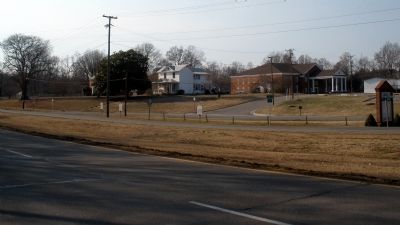
Photographed by Bernard Fisher, March 7, 2009
2. Cooper's Mill Marker
Another marker is no longer nearby. New Kent County (was about 300 feet away, measured in a direct line but has been permanently removed).
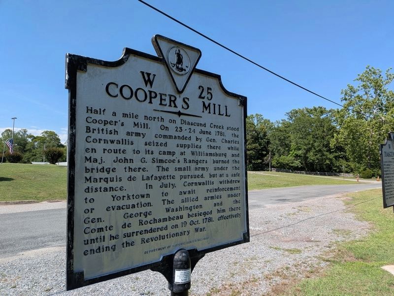
Photographed by Evan Dwyer, June 12, 2026
3. Cooper's Mill Marker
There are no apparent remains of the mill site. This view looks in the direction of the creek and the location of the mill; the creation of the reservoir has substantially changed the area from its 1781 appearance, which may have contributed to the seeming disappearance of any trace of the mill site between the marker and the reservoir.
Credits. This page was last revised on June 15, 2026. It was originally submitted on March 7, 2009, by Bernard Fisher of Richmond, Virginia. This page has been viewed 1,448 times since then and 66 times this year. Photos: 1, 2. submitted on March 7, 2009, by Bernard Fisher of Richmond, Virginia. 3. submitted on June 14, 2026, by Evan Dwyer of Richmond, Virginia.
