Wallis in Austin County, Texas — The American South (West South Central)
Wallis Cemetery
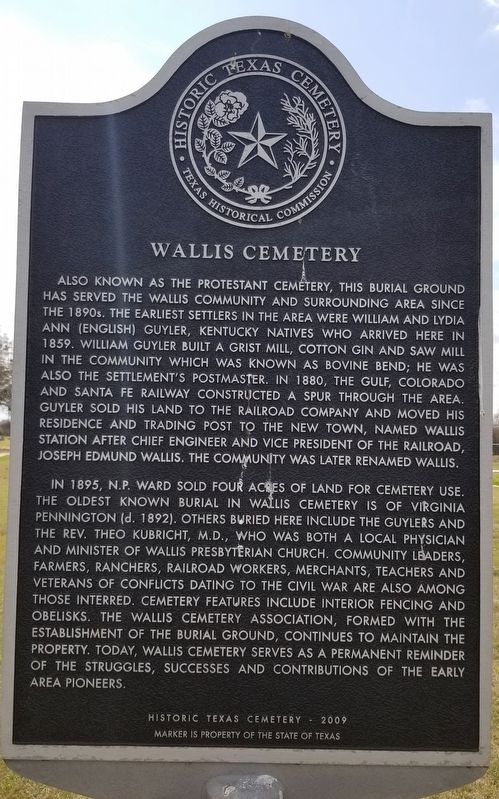
Also known as the Protestant Cemetery, this burial ground has served the Wallis Community and surrounding area since the 1890s. The earliest settlers in the area were William and Lydia Ann (English) Guyler, Kentucky natives who arrived here in 1859. William Guyler built a grist mill, cotton gin and saw mill in the community which was known as Bovine Bend; he was also the settlement's postmaster. In 1880, the Gulf, Colorado and Santa Fe Railway constructed a spur through the area. Guyler sold his land to the railroad company and moved his residence and trading post to the new town, named Wallis Station after chief engineer and vice president of the railroad, Joseph Edmund Wallis. The community was later renamed Wallis.
In 1895, N.P. Ward sold four acres of land for cemetery use. The oldest known burial in Wallis Cemetery is of Virginia Pennington (d. 1892). Others buried here include the Guylers and the Rev. Theo Kubricht, M.D., who was both a local physician and minister of Wallis Presbyterian Church. Community leaders, farmers, ranchers, railroad workers, merchants, teachers and veterans of conflicts dating to the Civil War are also among those interred. Cemetery features include interior fencing and obelisks. The Wallis Cemetery Association, formed with the establishment of the burial ground, continues to maintain the property. Today, Wallis Cemetery serves as a permanent reminder of the struggles, successes and contributions of the early area pioneers.
Historic Texas Cemetery - 2009
Erected 2009 by Texas Historical Commission. (Marker Number 16415.)
Topics. This historical marker is listed in these topic lists: Cemeteries & Burial Sites • Railroads & Streetcars • Settlements & Settlers. A significant historical year for this entry is 1859.
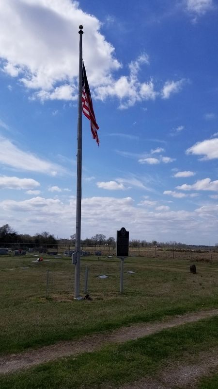
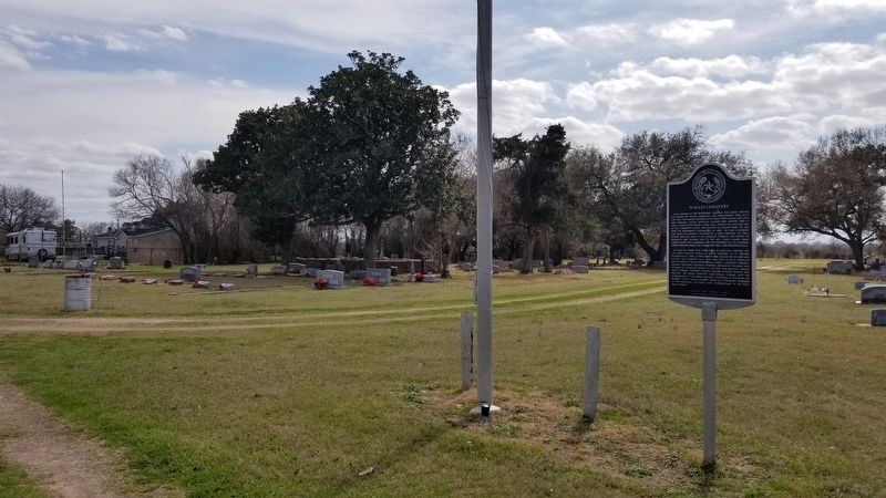
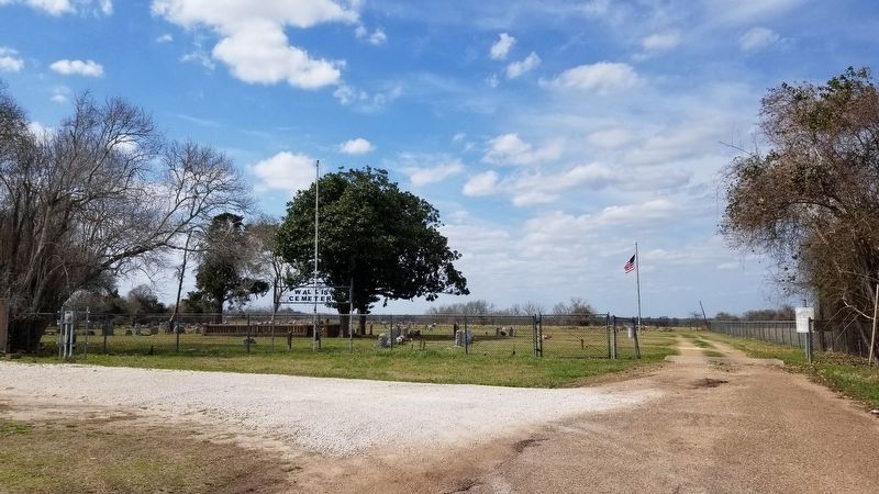
Location. 29° 38.779′ N, 96° 3.371′ W. Marker is in Wallis, Texas, in Austin County. Marker can be reached from Cemetery Road, 0.3 miles north of 1st Street (Farm to Market Road 1093). The marker is located north of the entrance to the Wallis Cemetery by the flagpole. Touch for map. Marker is at or near this postal address: 1296 Cemetery Road, Wallis TX 77485, United States of America. Touch for directions.
Other nearby markers. At least 8 other markers are within 2 miles of this marker, measured as the crow flies. William Henry & Lydia Ann English Guyler (within shouting distance of this marker); J.O. Williams School (approx. 0.7 miles away); Wallis Independent (approx. 0.7 miles away); St. Paul Lutheran Church (approx. ¾ mile away); Wallis High School (approx. one mile away); Wallis Methodist Church (approx. one mile away); Wallis State Bank (approx. 1.1 miles away); Wallis Memorial Nature Park (approx. 1.3 miles away). Touch for a list and map of all markers in Wallis.
Also see . . . Wallis, TX.
Wallis is at the junction of the Southern Pacific and the Atchison, Topeka and Santa Fe railroads ten miles southeast of Sealy in extreme southeastern Austin County. Anglo-American settlement on the narrow strip of land west of the Brazos and east of the San Bernard River began in the late 1830s. The community was first known as Bovine Bend, and a post office by that name was established in 1873. After 1880, when the Gulf, Colorado and Santa Fe Railway constructed its Galveston-Brenham spur through the vicinity, the settlement became known as Wallis Station, in honor of J. E. Wallis, director of the Gulf, Colorado, and Santa Fe. Source: The Handbook of Texas(Submitted on March 13, 2021, by James Hulse of Medina, Texas.)
Credits. This page was last revised on March 13, 2021. It was originally submitted on March 13, 2021, by James Hulse of Medina, Texas. This page has been viewed 233 times since then and 35 times this year. Photos: 1, 2, 3, 4. submitted on March 13, 2021, by James Hulse of Medina, Texas.


