New Deal in Lubbock County, Texas — The American South (West South Central)
New Deal
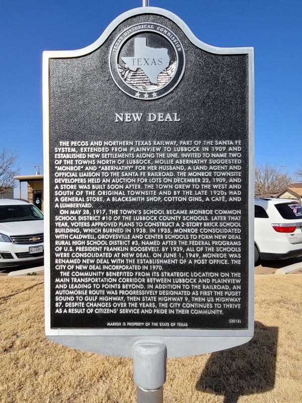
The Pecos and Northern Texas Railway, part of the Santa Fe system, extended from Plainview to Lubbock in 1909 and established new settlements along the line. Invited to name two of the towns north of Lubbock, Mollie Abernathy suggested “Monroe” and “Abernathy" for her husband, a land agent and official liaison to The Santa Fe railroad. The Monroe townsite developers held an auction for lots on December 22,1909, and a store was built soon after. The town grew to the west and south of the original townsite and by the late 1920s had a general store, a blacksmith shop, cotton gins, a cafe, and a lumberyard.
On May 28, 1917, the town's school became Monroe common school district #10 of the Lubbock county schools. Later that year, voters approved plans to construct a 2-story brick school building, which burned in 1938. In 1935 Monroe consolidated with Caldwell, Grovesville and Center schools form New Deal rural high school district #3, named after the Federal programs Of U.S President Franklin Roosevelt. By 1939, all of the schools were consolidated at New Deal. On June 1, 1949, Monroe was renamed New Deal with the establishment of a post office. The city of New Deal incorporated in 1970.
The community benefited from its strategic location on the main transportation
corridor between Lubbock and Plainview And leading to points beyond. In addition to the railroad, an automobile route was progressively designated as first the Puget sound to gulf highway, Then state highway 9, then US Highway 87. Despite changes over the years, the city continues to thrive as a result of citizens’ service and pride in their community.Marker is property of the State of Texas
Erected 2018 by Texas Historical Commission. (Marker Number 20073.)
Topics. This historical marker is listed in this topic list: Settlements & Settlers.
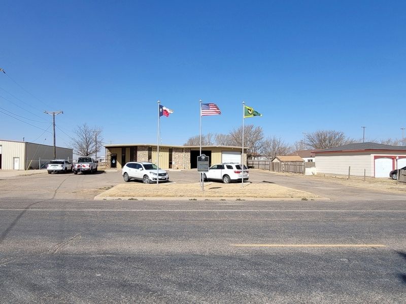
Location. 33° 43.775′ N, 101° 50.342′ W. Marker is in New Deal, Texas, in Lubbock County. Marker is on South Monroe Avenue south of East Dawson Street, on the right when traveling south. Touch for map. Marker is at or near this postal address: 404 S Monroe Avenue, New Deal TX 79350, United States of America. Touch for directions.
Other nearby markers. At least 8 other markers are within 7 miles of this marker, measured as the crow flies. World War II Glider Pilots (approx. 5 miles away); Douglas DC-3/C-47/R4D-6S (approx. 5 miles away); W. G. McMillan Construction Company (approx. 5 miles away); South Plains Army Air Field (approx. 5 miles away); Original Lubbock Municipal Airport (approx. 5.1 miles away); Site of Old Lubbock (approx. 6.7 miles away); Quanah Parker Trail (approx. 7 miles away); Town of Abernathy (approx. 7.1 miles away).
Credits. This page was last revised on March 14, 2021. It was originally submitted on March 13, 2021, by Allen Lowrey of Amarillo, Texas. This page has been viewed 195 times since then and 16 times this year. Photos: 1, 2. submitted on March 13, 2021, by Allen Lowrey of Amarillo, Texas. • J. Makali Bruton was the editor who published this page.

