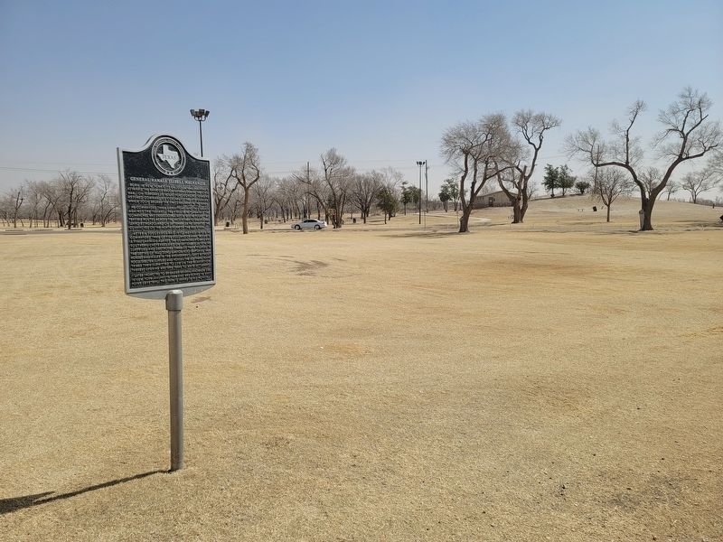
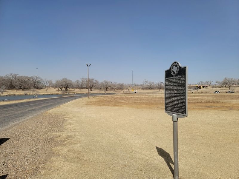
General Ranald Slidell Mackenzie
Born in New York City on July 24, 1840, Mackenzie attained the rank of major general during the Civil War. On February 25, 1871, at Fort Concho, Texas, he assumed command as colonel of the 4th Cavalry, which soon became the finest regiment in the army.
He commanded three expeditions into this region against the Indians. The first, in 1871 against the Comanches, was unsuccessful; but in 1872 he found two feasible routes across the vast, hitherto unexplored, Llano Estacado; and on September 29, he defeated the Comanches on the North Fork of the Red River.
After a successful raid into Mexico in 1873, he commanded three of five columns of army troops in a final campaign against the Comanches, Kiowas, and Southern Cheyennes; and on September 28, 1874, he surprised and destroyed three of their villages in the depths of Palo Duro Canyon, also capturing 1,424 horses and mules in the engagement. Left without food, shelter, supplies, and horses, the Southern Plains tribes then submitted to life on the reservation, thereby opening western Texas to white settlement
Later promoted to brigadier general, Mackenzie died in New York, January 19, 1889, and was buried in West Point Cemetery. This park is named in his honor.
Erected 1968 by State Historical Survey Committee. (Marker
Topics. This historical marker is listed in this topic list: Wars, US Indian.
Location. 33° 35.299′ N, 101° 49.772′ W. Marker is in Lubbock, Texas, in Lubbock County. Marker is on Cesar E Chavez Drive, ¼ mile north of Canyon Lake Drive, on the right when traveling north. Touch for map. Marker is in this post office area: Lubbock TX 79403, United States of America. Touch for directions.
Other nearby markers. At least 8 other markers are within walking distance of this marker. Forks of the Brazos (about 800 feet away, measured in a direct line); Quanah Parker Trail (approx. 0.4 miles away); Yellowhouse Canyon (approx. half a mile away); Prairie Dog Town (approx. ¾ mile away); Lubbock's First Cotton Gin (approx. ¾ mile away); Lubbock Post Office and Federal Building (approx. 0.8 miles away); New Hope Baptist Church (approx. 0.9 miles away); Mackenzie Scout Trail (approx. 0.9 miles away). Touch for a list and map of all markers in Lubbock.
Credits. This page was last revised on March 14, 2021. It was originally submitted on March 13, 2021, by Allen Lowrey of Amarillo, Texas. This page has been viewed 393 times since then and 78 times this year. Photos: 1, 2, 3. submitted on March 13, 2021, by Allen Lowrey of Amarillo, Texas. • J. Makali Bruton was the editor who published this page.


