Murfreesboro in Rutherford County, Tennessee — The American South (East South Central)
Murfreesboro/Rutherford County
Photographed by Tom Gillard, December 30, 2009
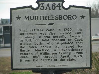
1. Murfreesboro Marker
Northern marker
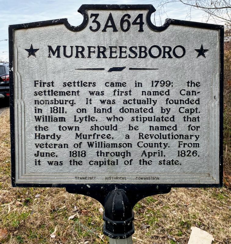
Murfreesboro>
First settlers came in 1799; the settlement was first named Cannonsburg. It was actually founded in 1811 on land donated by Capt. William Lytle, who stipulated that the town should be named for Hardee Murfree, a Revolutionary veteran of Williamson County. From June, 1818 through April, 1828, it was the capital of the state.
(rear):
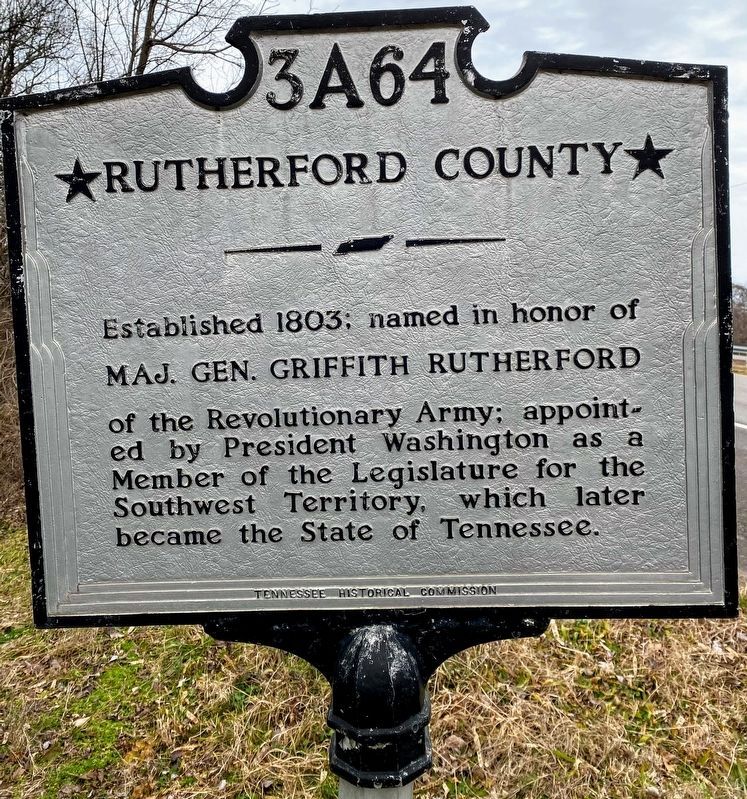
Rutherford County
Established 1803; named in honor of
MAJ. GEN. GRIFFITH RUTHERFORD
of the Revolutionary Army; appointed by President Washington as a Member of the Legislature for the Southwest Territory, which later became the State of Tennessee.
Erected by Tennessee Historical Commission. (Marker Number 3A 64.)
Topics and series. This historical marker is listed in this topic list: Settlements & Settlers. In addition, it is included in the Tennessee Historical Commission series list. A significant historical year for this entry is 1799.
Location. 35° 52.444′ N, 86° 25.297′ W. Marker is in Murfreesboro, Tennessee, in Rutherford County. It is on Broad Street (U.S. 41), on the left when traveling north. Touch for map. Marker is in this post office area: Murfreesboro
this page online

Regionally, this marker is in Middle Tennessee and in Greater Nashville. It is also in the American South and specifically in the Upper South. Globally, it is in North America, the Western Hemisphere, the Western World, and the Anglosphere. Historically, it finds itself in what was once the territory of the Mississippian Culture, one of the Confederate States of America, and the Antebellum South.
Other nearby markers. At least 8 other markers are within walking distance of this marker: Chalmers’ Brigade at Murfreesboro (approx. ¼ mile away); Donelson’s Brigade at Murfreesboro (approx. ¼ mile away); They Passed This Way (approx. 0.3 miles away); Bragg's Headquarters (approx. 0.3 miles away); Slave, Soldier, Citizen (approx. 0.4 miles away); Hazen's Brigade Monument (approx. 0.4 miles away); Headquarters (approx. 0.4 miles away); Remembering Sacrifices - in Stone (approx. 0.4 miles away). Touch for a list and map of all markers in Murfreesboro.
Another marker is no longer nearby. Hazen Brigade Monument (was approx. 0.4 miles away but has been confirmed missing).
Photographed by Shane Oliver, January 30, 2021
2. Front of Murfreesboro/Rutherford County Marker
More about this marker. This is the Northern city marker, and is repeated at other points around the city.
Also see . . . Stones River, National Park Service. (Submitted on December 31, 2009, by Tom Gillard of Tullahoma, Tennessee.)
Photographed by Shane Oliver, January 30, 2021
3. Rear of Murfreesboro/Rutherford County Marker
Photographed by Tom Gillard, December 30, 2009
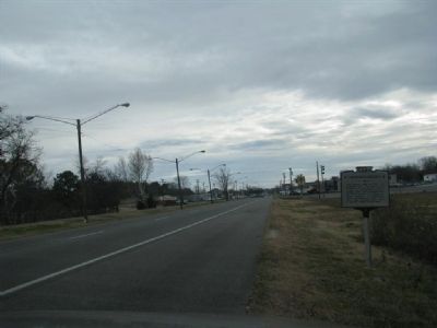
4. Murfreesboro Marker
Credits. This page was last revised on March 15, 2021. It was originally submitted on December 31, 2009, by Tom Gillard of Tullahoma, Tennessee. This page has been viewed 1,088 times since then and 23 times this year. Last updated on March 14, 2021, by Shane Oliver of Richmond, Virginia. Photos: 1. submitted on December 31, 2009, by Tom Gillard of Tullahoma, Tennessee. 2, 3. submitted on March 14, 2021, by Shane Oliver of Richmond, Virginia. 4. submitted on December 31, 2009, by Tom Gillard of Tullahoma, Tennessee. • Bill Pfingsten was the editor who published this page.
