Henderson in Chester County, Tennessee — The American South (East South Central)
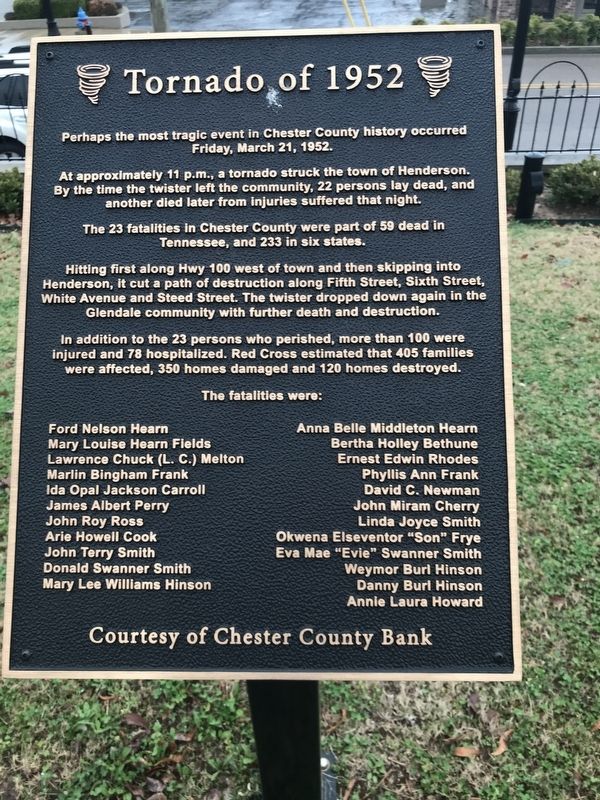
Tornado of 1952
At approximately 11 p.m., a tornado struck the town of Henderson. By the time the twister left the community, 22 persons lay dead, and another died later from injuries suffered that night.
The 23 fatalities in Chester County were part of 59 dead in Tennessee, and 233 in six states.
Hitting first along Hwy 100 west of town and then skipping into Henderson, it cut a path of destruction along Fifth Street, Sixth Street, White Avenue and Steed Street. The twister dropped down again in the Glendale community with further death and destruction.
In addition to the 23 persons who perished, more than 100 were injured and 78 hospitalized. Red Cross estimated that 405 families were affected, 350 homes damaged and 120 homes destroyed.
The fatalities were:
Ford Nelson Hearn • Mary Louise Hearn Fields • Lawrence Chuck (L. C.) Melton • Marlin Bingham Frank • Ida Opal Jackson Carroll • James Albert Perry • John Roy Ross • Arie Howell Cook • John Terry Smith • Donald Swanner Smith • Mary Lee Williams Hinson • Anna Belle Middleton Hearn • Bertha Holley Bethune • Ernest Edwin Rhodes • Phyllis Ann Frank • David C. Newman • John Miram Cherry • Linda Joyce Smith • Okwena Elseventor "Son" Frye • Eva Mae "Evie" Swanner Smith • Weymor Burl H́nson • Danny Burl Hinson • Annie Laura Howard
Erected by Courtesy Chester County Bank.
Topics. This historical marker is listed in this topic list: Disasters. A significant historical date for this entry is March 21, 1952.
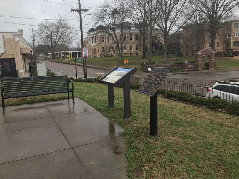
Location. 35° 26.396′ N, 88° 38.423′ W. Marker is in Henderson, Tennessee, in Chester County. Marker can be reached from East Main Street west of North Cason Avenue, on the right when traveling west. Marker is located in front of the Chester County Courthouse. Touch for map. Marker is at or near this postal address: 133 East Main Street, Henderson TN 38340, United States of America. Touch for directions.
Other nearby markers. At least 8 other markers are within walking distance of this marker. Fighting For Control (here, next to this marker); Chester County War Memorial (here, next to this marker); Chester County Courthouse (a few steps from this marker); Freed-Hardeman College (about 300 feet away, measured in a direct line); Eddy Arnold (about 400 feet away); Cox's Raid (about 700 feet away); Henderson at War (about 800 feet away); Historic Front Street (approx. 0.2 miles away). Touch for a list and map of all markers in Henderson.
Also see . . . Tornado Outbreak of March 21-22, 1952 (Wikipedia). (Submitted on March 15, 2021, by Duane and Tracy Marsteller of Murfreesboro, Tennessee.)
Credits. This page was last revised on March 15, 2021. It was originally submitted on March 15, 2021, by Duane and Tracy Marsteller of Murfreesboro, Tennessee. This page has been viewed 824 times since then and 77 times this year. Photos: 1, 2. submitted on March 15, 2021, by Duane and Tracy Marsteller of Murfreesboro, Tennessee.

