Addison in Steuben County, New York — The American Northeast (Mid-Atlantic)
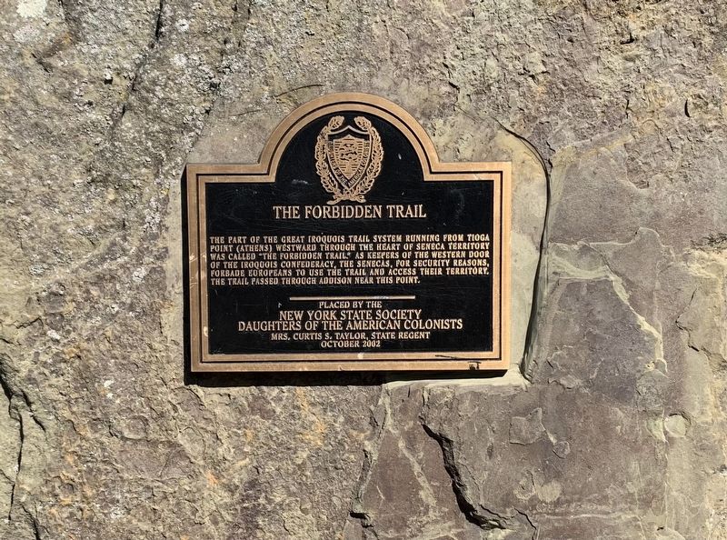
The Forbidden Trail
The part of the Great Iroquois Trail system runing from Tioga Point (Athens) westward through the heart of Seneca Territory was called the “Forbidden Trail.” As keepers of the western door of the Iroquois Confederacy, the Senecas, for security reasons, forbade Europeans to use the trail and access their territory. The trail passed through Addison near this point.
Placed by the New York State Society Daughters of the American Colonists
Mrs. Curtis S. Taylor, State Regent
October 2002
Erected 2002 by New York State Society Daughters of the American Colonists.
Topics. This historical marker is listed in this topic list: Native Americans.
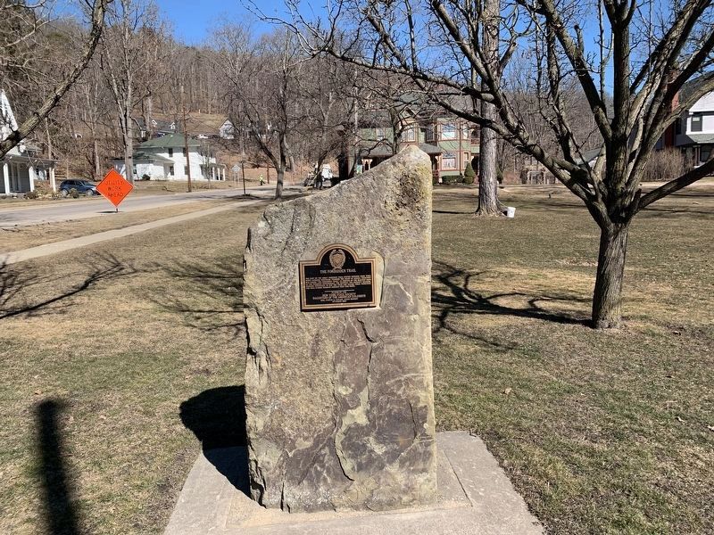
Location. 42° 6.52′ N, 77° 13.97′ W. Marker is in Addison, New York, in Steuben County. Marker is at the intersection of Wall Street and Wombaugh Square, on the left when traveling south on Wall Street. Touch for map. Marker is in this post office area: Addison NY 14801, United States of America. Touch for directions.
Other nearby markers. At least 8 other markers are within 8 miles of this marker, measured as the crow flies. Church of the Redeemer (within shouting distance of this marker); Maple Street Historic District (within shouting distance of this marker); Old Village Hall (approx. ¼ mile away); Sullivan-Clinton Campaign (approx. 5.1 miles away); Native American (approx. 7.3 miles away); Northrup Hill School District 10 (approx. 7.8 miles away); Clinton-Sullivan and the Iroquois (approx. 7.8 miles away); Treaty of Painted Post (approx. 7.9 miles away). Touch for a list and map of all markers in Addison.
Credits. This page was last revised on March 17, 2021. It was originally submitted on March 15, 2021, by Steve Stoessel of Niskayuna, New York. This page has been viewed 840 times since then and 130 times this year. Photos: 1, 2. submitted on March 15, 2021, by Steve Stoessel of Niskayuna, New York. • Bill Pfingsten was the editor who published this page.

