San Dimas in Los Angeles County, California — The American West (Pacific Coastal)
Southern Pacific Railroad
1895
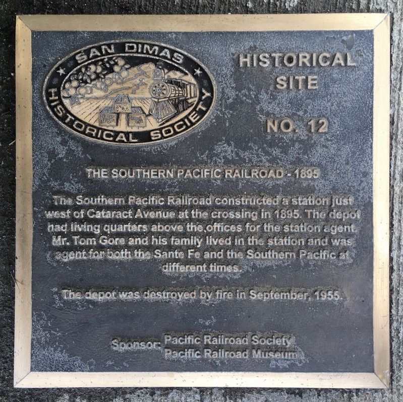
Photographed by Craig Baker, March 15, 2021
1. Southern Pacific Railroad Marker
Erected by San Dimas Historical Society. (Marker Number 12.)
Topics and series. This historical marker is listed in this topic list: Railroads & Streetcars. In addition, it is included in the Southern Pacific Railroad series list. A significant historical year for this entry is 1895.
Location. 34° 6.084′ N, 117° 48.697′ W. Marker is in San Dimas, California, in Los Angeles County. It is on Cataract Avenue 0.1 miles south of Arrow Highway, on the right when traveling south. Touch for map. Marker is at or near this postal address: 445 S Cataract Ave, San Dimas CA 91773, United States of America. Touch for directions.

Regionally, this marker is in Greater Los Angeles and in the Transverse Ranges. It is also on the American Pacific Coast. Globally, it is in
this page online
Other nearby markers. At least 8 other markers are within walking distance of this marker: San Dimas Grammar School (approx. ¼ mile away); Birthplace of San Dimas (approx. 0.4 miles away); Santa Fe Depot (approx. 0.4 miles away); The Busy Bee Café (approx. 0.4 miles away); Sipple Building (approx. 0.4 miles away); Foresman & Hoke Building (approx. 0.4 miles away); The Johnstone Building (approx. 0.4 miles away); The Mexican Colony (approx. 0.4 miles away). Touch for a list and map of all markers in San Dimas.
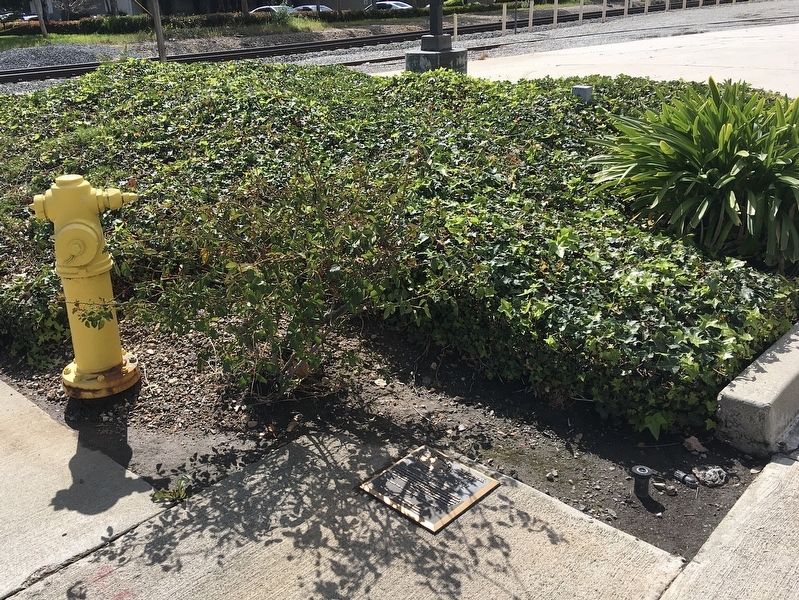
Photographed by Craig Baker, March 15, 2021
2. Southern Pacific Railroad Marker
The marker lays flat in the sidewalk.
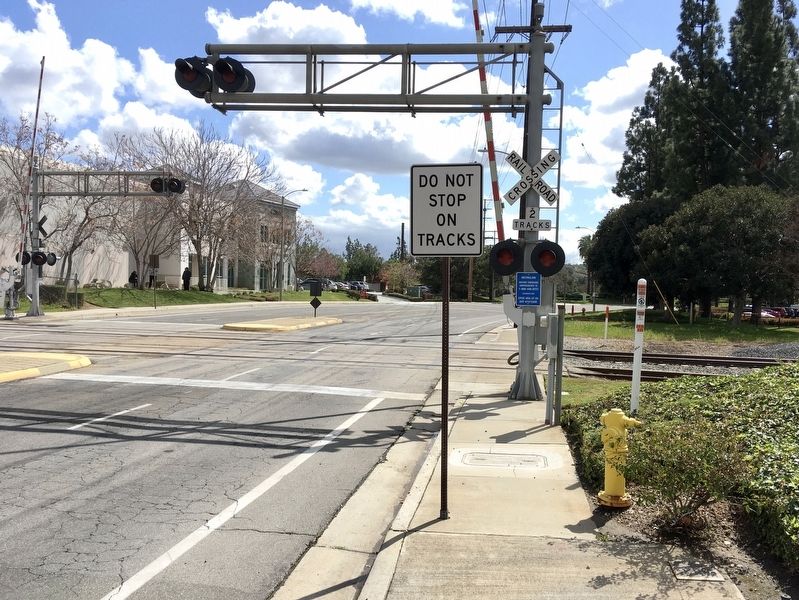
Photographed by Craig Baker, March 15, 2021
3. Southern Pacific Railroad Marker
The marker is at lower right.
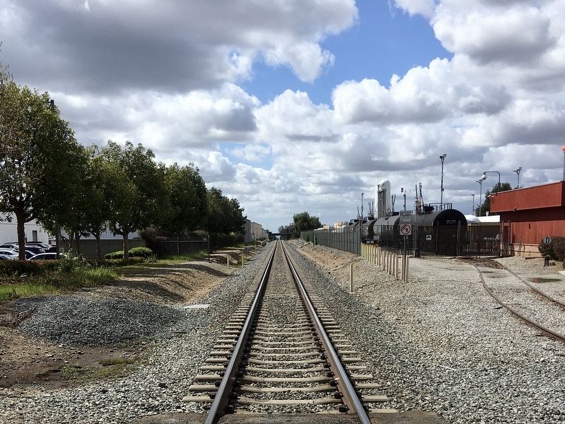
Photographed by Craig Baker, March 15, 2021
4. Southern Pacific Depot Location
The site is now an industrial facility.
Credits. This page was last revised on January 30, 2023. It was originally submitted on March 17, 2021, by Craig Baker of Sylmar, California. This page has been viewed 588 times since then and 27 times this year. Photos: 1, 2, 3, 4. submitted on March 17, 2021, by Craig Baker of Sylmar, California. • J. Makali Bruton was the editor who published this page.
