
Pennsbury Township near Chadds Ford in Chester County, Pennsylvania — The American Northeast (Mid-Atlantic)
Battle of Brandywine
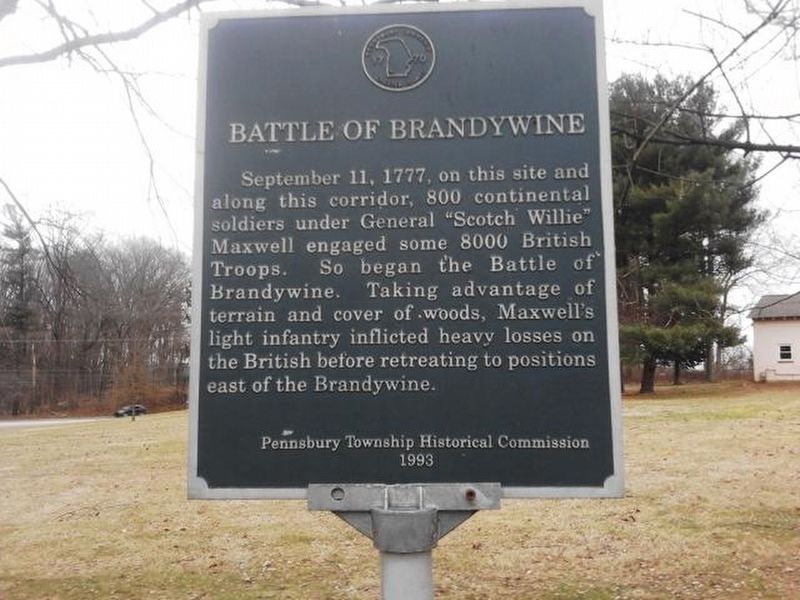
Photographed by Carl Gordon Moore Jr., January 11, 2020
1. Battle of Brandywine Marker
Erected 1993 by Pennsbury Township Historical Commission.
Topics. This historical marker is listed in this topic list: War, US Revolutionary. A significant historical date for this entry is September 11, 1777.
Location. 39° 52.395′ N, 75° 37.927′ W. Marker is near Chadds Ford, Pennsylvania, in Chester County. It is in Pennsbury Township. It is on Independence Way south of Baltimore Pike (U.S. 1), on the left when traveling south. Touch for map. Marker is at or near this postal address: 702 Baltimore Pike, Chadds Ford PA 19317, United States of America. Touch for directions.

Regionally, this marker is in Southeast Pennsylvania and in Greater Philadelphia. It is also in the American Northeast and in the Mid-Atlantic. Globally, it is in North America, the Western Hemisphere,
this page online
Other nearby markers. At least 8 other markers are within 2 miles of this marker, measured as the crow flies: Barns-Brinton House (approx. 0.3 miles away); a different marker also named Barns-Brinton House (approx. 0.3 miles away); Knyphausen's Feint (approx. 0.3 miles away); a different marker also named The Barns-Brinton House (approx. half a mile away); American Light Infantry (approx. 0.7 miles away); Isaac & Dinah Mendenhall (approx. 1.2 miles away); Italian Water Garden (approx. 2 miles away); Indian Hannah (approx. 2.1 miles away). Touch for a list and map of all markers in Chadds Ford.
Another marker is no longer nearby. Italian Water Garden (was approx. 2 miles away but has been confirmed missing).
Photographed by Carl Gordon Moore Jr., March 17, 2021
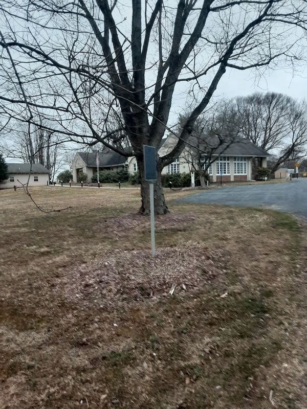
2. Battle of Brandywine Marker
Marker is in front, with a tree, and then the Pennsbury Township building, directly behind it.
Photographed by Carl Gordon Moore Jr., March 17, 2021
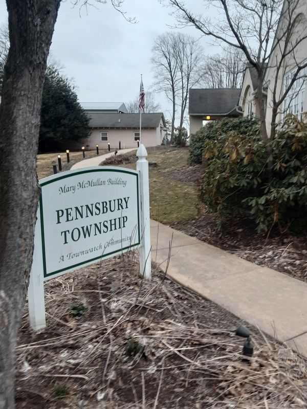
3. Battle of Brandywine Marker
Township building partially seen at right.
Credits. This page was last revised on February 7, 2023. It was originally submitted on January 11, 2020, by Carl Gordon Moore Jr. of North East, Maryland. This page has been viewed 727 times since then and 35 times this year. Last updated on March 18, 2021, by Carl Gordon Moore Jr. of North East, Maryland. Photos: 1. submitted on January 11, 2020, by Carl Gordon Moore Jr. of North East, Maryland. 2, 3. submitted on March 18, 2021, by Carl Gordon Moore Jr. of North East, Maryland. • Bill Pfingsten was the editor who published this page.
