McKittrick in Kern County, California — The American West (Pacific Coastal)
McKittrick Brea Pit
Photographed by Ken Hooper, March 5, 2021
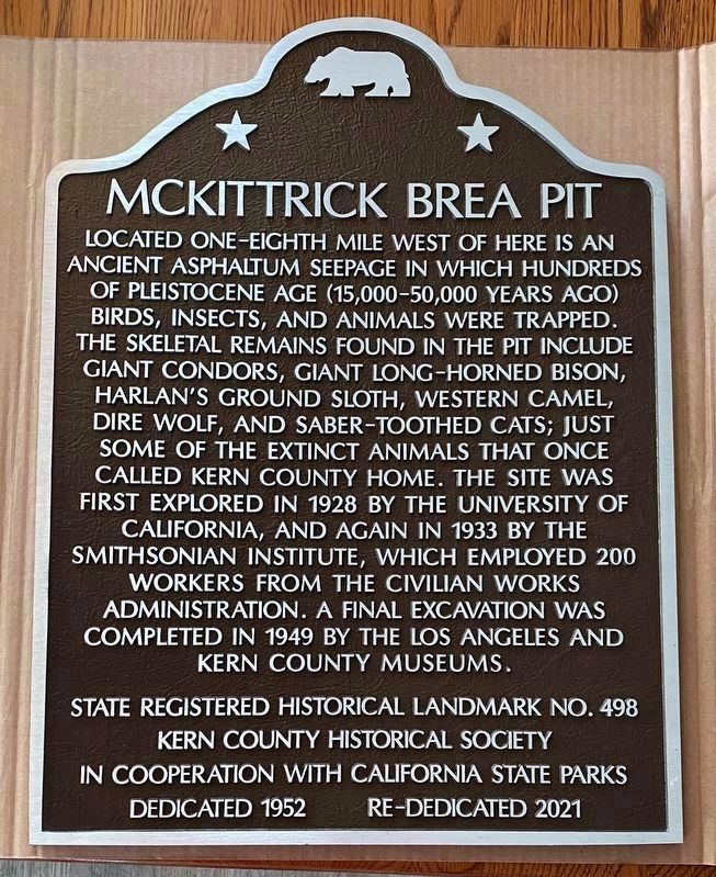
1. McKittrick Brea Pit Marker
This is the new marker for the McKittrick Brea Pit before it was added to the original base.
Erected 1952 by Kern County Historical Society and California State Parks. (Marker Number 498.)
Topics and series. This historical marker is listed in this topic list: Paleontology. In addition, it is included in the California Historical Landmarks, and the Native Sons/Daughters of the Golden West series lists.
Location. 35° 17.783′ N, 119° 37.552′ W. Marker is in McKittrick, California, in
this page online

Regionally, this marker is in the San Joaquin Valley, specifically in the Central Valley, and in the Sierra Nevada. It is also on the American Pacific Coast. Globally, it is in North America, on the Ring of Fire, on the Pacific Rim, in the Western Hemisphere, in the Western World, and in the Anglosphere. Historically, it finds itself in what was once New Spain and also Mexico’s Alta California.
Other nearby markers. At least 8 other markers are within 14 miles of this marker, measured as the crow flies: McKittrick Hotel and Penny Bar (approx. 0.6 miles away); Buena Vista Refinery (approx. 7.3 miles away); Midway Field - Well No. 2-6 (approx. 9.2 miles away); Buttonwillow Tree (approx. 11½ miles away); Wallace Creek Interpretive Trail (approx. 11½ miles away); McKittrick Jail (approx. 13½ miles away); The Fort (approx. 13.6 miles away); a different marker also named
Photographed by Ken Hooper, March 5, 2021
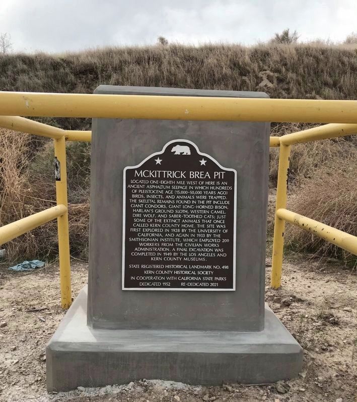
2. McKittrick Brea Pit Marker
More about this marker. A half mile west of here is the site of California Historic Landmark No. 376 — California Standard Oil Well 1.
This well was one of the early wells that in 1899 started a new oil field called the McKittrick Field. The well pumped about 150 barrels of oil per day for the first six months - its last production was in April 1929.
Nothing is there today.
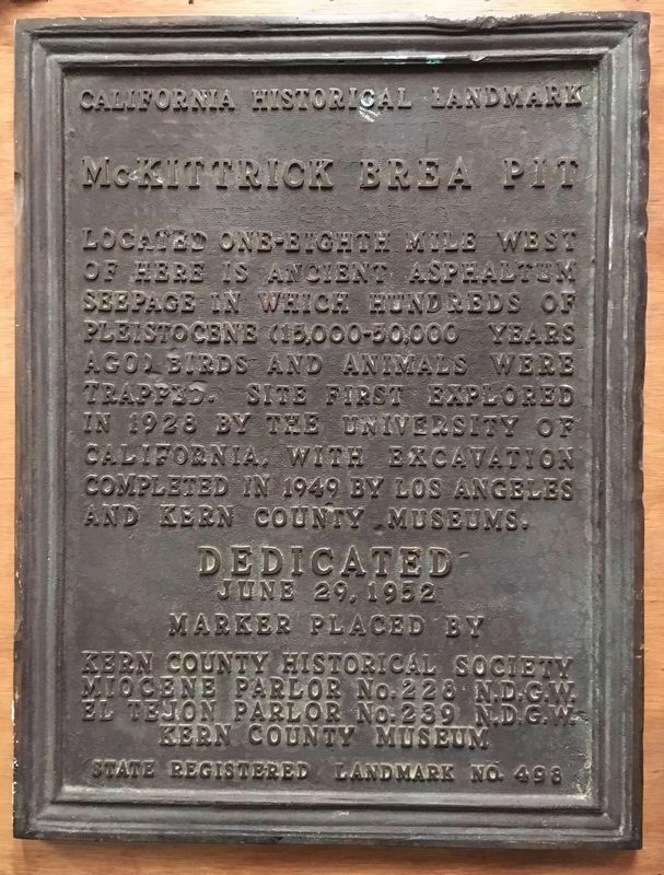
Regarding McKittrick Brea Pit. The original marker had the following text:
Located one-eighth mile west of here is ancient asphaltum seepage in which hundreds of Pleistocene (15,000 - 50,000 years ago) birds and animals were trapped. Site first explored in 1925 by the University of California, with excavation completed in 1949 by Los Angeles and Kern County Museums.
State Registered Historical Landmark No. 498.
Marker placed by Kern County Historical Society, Miocene Parlor No. 228 N.D.G.W., El Tejon Parlor No. 238 N.D.G.W., and Kern County Museum.
Additional keywords. tar pit, California Historic Landmark No. 498, California Historic Landmark No. 376
Photographed by Andrew Ruppenstein, May 22, 2011
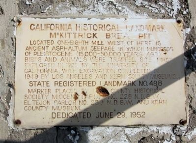
3. McKittrick Brea Pit Temporary Marker
Photographed by Craig Baker, February 23, 2019
4. McKittrick Brea Pit Marker
The original marker was missing and later recovered. It's now on display inside the West Kern Oil Museum.
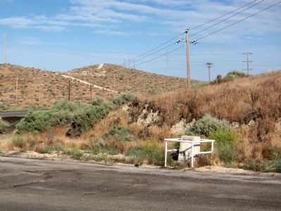
Photographed by Andrew Ruppenstein, May 22, 2011
5. McKittrick Brea Pit Marker
The marker is mounted on a cement monument on the south side of the road.
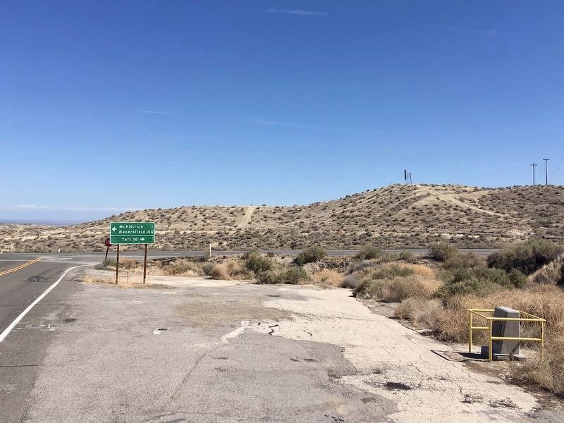
Photographed by Craig Baker, March 8, 2021
6. McKittrick Brea Pit Marker
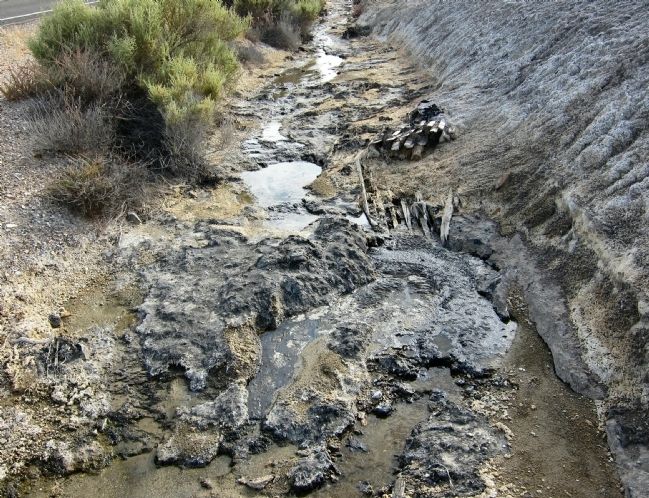
Photographed by Andrew Ruppenstein
7. McKittrick Brea Pit - asphalt or tar seep
Credits. This page was last revised on October 4, 2025. It was originally submitted on May 26, 2011. This page has been viewed 6,192 times since then and 597 times this year. Last updated on March 18, 2021. Photos: 1. submitted on March 5, 2021, by Ken Hooper of Bakersfield, California. 2. submitted on March 8, 2021, by Ken Hooper of Bakersfield, California. 3. submitted on May 26, 2011, by Andrew Ruppenstein of Lamorinda, California. 4. submitted on February 24, 2019, by Craig Baker of Sylmar, California. 5. submitted on May 26, 2011, by Andrew Ruppenstein of Lamorinda, California. 6. submitted on March 14, 2021, by Craig Baker of Sylmar, California. 7. submitted on May 26, 2011, by Andrew Ruppenstein of Lamorinda, California. • J. Makali Bruton was the editor who published this page.
