South Side in Billings in Yellowstone County, Montana — The American West (Mountains)
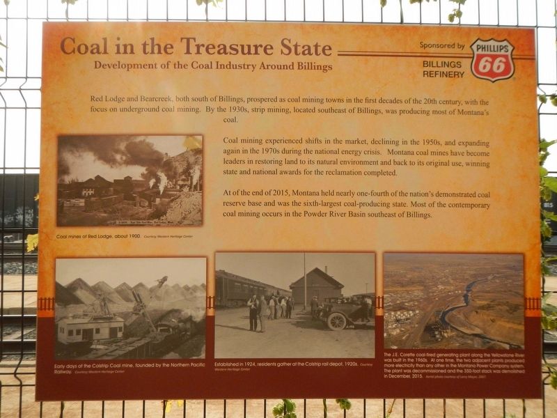
Coal in the Treasure State
Development, of the Coal Industry Around Billings

Photographed By Barry Swackhamer, September 15, 2020
1. Coal in the Treasure State Marker
Captions: (middle left) Coal mines of Red Lodge, about 1900.; (bottom left) Early days of Colstrip Coal mine, founded by the Northern Pacific Railway.; (bottom center) Established in 1924, residents gather at the Colstrip rail depot, 1920.; (bottom right) The J.E. Corette coal-fired generating plant along the Yellowstone River was built in the 1960s. At one time, the two adjacent plants produced more electricity than any other in the Montana Power Company system. The plant was decommissioned and the 350-foot stack was demolished in December 2015.
Coal mining experienced shifts in the market, declining in the 1950s, and expanding again in the 1970s during the national energy crisis. Montana coal mines have become leaders in restoring land to its natural environment and back to its original use, winning state and national awards for the reclamation completed.
At the end of 2015, Montana held nearly one-fourth of the nation's demonstrated coal reserve base and was the sixth-largest coal-producing state. Most of the contemporary coal mining occurs in the Powder River Basin southeast of Billings.
Topics. This historical marker is listed in these topic lists: Industry & Commerce • Natural Resources.
Location. 45° 47.016′ N, 108° 29.949′ W. Marker is in Billings, Montana, in Yellowstone County. It is in the South Side. Marker can be reached from Montana Avenue (Business Interstate 90) near North 23rd Street, on the right when traveling east. The marker is found on the fence paralleling the railroad tracks. Touch for map . Marker is at or near this postal address: 2310 Montana Avenue, Billings MT 59101, United States of America. Touch for directions.
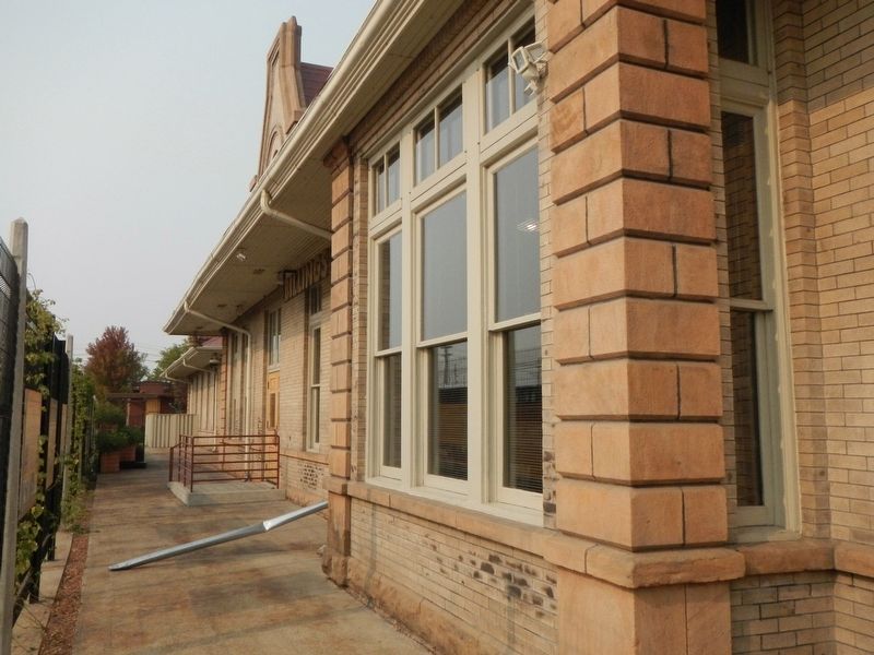
Other nearby markers. At least 8 other markers are within walking distance of this marker. Ranching on the Plains (here, next to this marker); The College Life (here, next to this marker); Billings Clinic: Healthcare on the Frontier (here, next to this marker); Houses of Ill Repute (a few steps from this marker); Northern Pacific Depot "Union Station" (within shouting distance of this marker); All We Need is Some Water (within shouting distance of this marker); Teddy Roosevelt Visits the Depot - 1918 (within shouting distance of this marker); Black Gold (within shouting distance of this marker). Touch for a list and map of all markers in Billings.
Credits. This page was last revised on February 16, 2023. It was originally submitted on March 20, 2021, by Barry Swackhamer of Brentwood, California. This page has been viewed 136 times since then and 9 times this year. Photos: 1, 2. submitted on March 20, 2021, by Barry Swackhamer of Brentwood, California.
