
Mayfield in Graves County, Kentucky — The American South (East South Central)
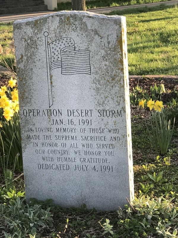
Operation Desert Storm
Jan. 16, 1991
Photographed by Duane and Tracy Marsteller, March 20, 2021
1. Operation Desert Storm Marker
made the supreme sacrifice and
in honor of all who served
our country. We honor you
with humble gratitude.
Dedicated July 4, 1991
Erected 1991.
Topics. This memorial is listed in this topic list: War, 1st Iraq & Desert Storm.
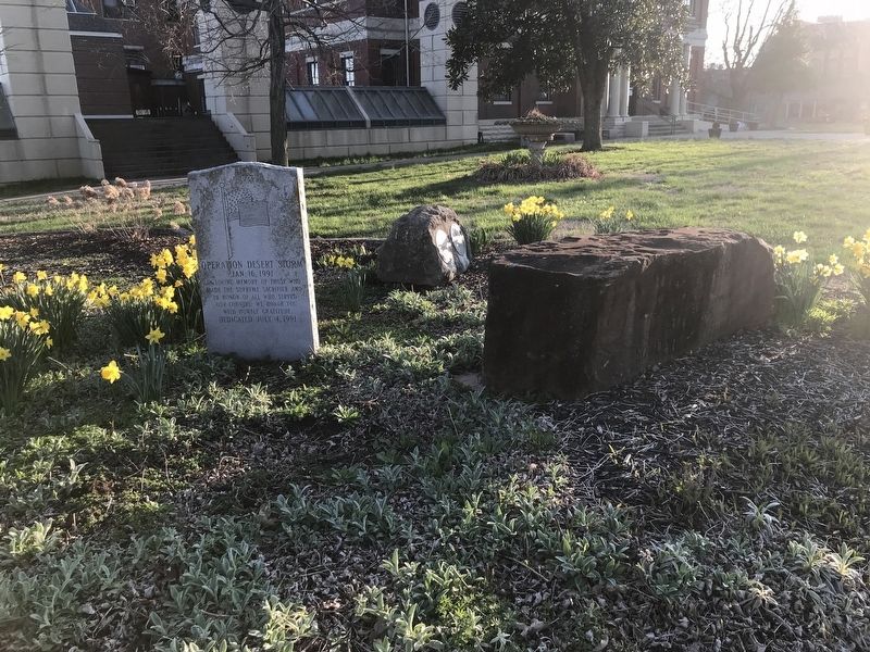
Location. 36° 44.49′ N, 88° 38.091′ W. Memorial is in Mayfield, Kentucky, in Graves County. It is at the intersection of East Broadway (Kentucky Route 58) and South 6th Street, on the right when traveling east on East Broadway. Marker is on Graves County Courthouse grounds. Touch for map. Memorial is in this post office area: Mayfield KY 42066, United States of America. Touch for directions.

Regionally, this memorial is in Kentucky’s Jackson Purchase. It is also in the American Midwest, in the South, and specifically in the Upper South. Globally, it is in North America, the Western Hemisphere, the Western World, and the Anglosphere. Historically, it finds itself in what was once the territory of the Mississippian Culture and also the Antebellum South.
Other nearby markers. At least 8 other
this page online
Photographed by Duane and Tracy Marsteller, March 20, 2021
2. Operation Desert Storm Marker
Credits. This page was last revised on March 23, 2021. It was originally submitted on March 23, 2021, by Duane and Tracy Marsteller of Murfreesboro, Tennessee. This page has been viewed 237 times since then and 21 times this year. Photos: 1, 2. submitted on March 23, 2021, by Duane and Tracy Marsteller of Murfreesboro, Tennessee.
