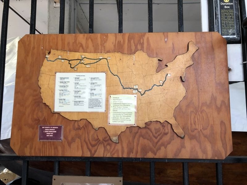
St. Charles in St. Charles County, Missouri — The American Midwest (Upper Plains)
Tracking the Boats
Erected 2003 by Lewis and Clark Boat House and Museum; I. Chris Donaldson, Eagle Project, Boy Scouts of America, Troop 641.
Topics and series. This historical marker is listed in these topic lists: Exploration • Waterways & Vessels. In addition, it is included in the Lewis & Clark Expedition series list. A significant historical month for this entry is August 1803.
Location. 38° 46.374′ N, 90° 28.944′ W. Marker is in St. Charles, Missouri, in St. Charles County. Marker can be reached from South Riverside Drive, 0.2 miles south of Boone's Lick Road, on the left when traveling south. Touch for map. Marker is at or near this postal address: 1050 S Riverside Dr, Saint Charles MO 63301, United States of America. Touch for directions.
Other nearby markers. At least 8 other markers are within walking distance of this marker. May 21, 1804 (a few steps from this marker); Bishop's Landing (a few steps from this marker); The Experiment (a few steps from this marker); The Lewis and Clark Expedition Across Missouri (within shouting distance of this marker); Marsh Mallows (within shouting distance of this marker); Peter Geery (within shouting distance of this marker); Potato (within shouting distance of this marker); Onions (within shouting distance of this marker). Touch for a list and map of all markers in St. Charles.
Credits. This page was last revised on March 23, 2021. It was originally submitted on March 23, 2021, by Devry Becker Jones of Washington, District of Columbia. This page has been viewed 101 times since then and 10 times this year. Photo 1. submitted on March 23, 2021, by Devry Becker Jones of Washington, District of Columbia.
Editor’s want-list for this marker. A clearer photo of the marker. • Can you help?
