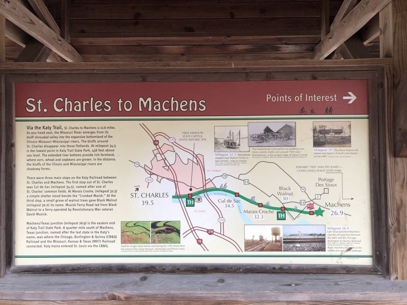
St. Charles to Machens
Points of Interest
Via the Katy Trail, St. Charles to Machens is 12.6 miles. As you head east, the Missouri River emerges from its bluff-shrouded valley into the expansive bottomland of the Illinois-Missouri-Mississippi rivers. The bluffs around St. Charles disappear into these flatlands. At milepost 34.5 is the lowest point in Katy Trail State Park, 436 feet above sea level. The extended river bottoms provide rich farmland, where corn, wheat and soybeans are grown. In the distance, the bluffs of the Illinois and Mississippi rivers are shadowy forms.
There were three main stops on the Katy Railroad between St. Charles and Machens. The first stop out of St. Charles was Cul de Sac (milepost 34.5), named after one of St. Charles' common fields. At Marais Croche, (milepost 32.3) a simple shelter stood beside the "Crooked Marsh." At the third stop, a small grove of walnut trees gave Black Walnut (milepost 30.0) its name. Musick Ferry Road led from Black Walnut to a ferry operated by Revolutionary War veteran David Musik.
Machens/Texas Junction (milepost 26.9) is the eastern end of Katy Trail State Park. A quarter mile south of Machens, Texas Junction, named after the last state in the Katy's name, was where the Chicago, Burlington & Quincy (CB&Q) Railroad and the Missouri, Kansas & Texas (MKT) Railroad connected. Katy trains entered
St. Louis via the CB&Q.Erected by Missouri State Parks.
Topics and series. This historical marker is listed in this topic list: Railroads & Streetcars. In addition, it is included in the Katy Trail State Park series list.
Location. 38° 46.797′ N, 90° 28.843′ W. Marker is in St. Charles, Missouri, in St. Charles County. Marker can be reached from the intersection of South Riverside Drive and Madison Street, on the right when traveling north. Touch for map. Marker is at or near this postal address: 222 S Riverside Dr, Saint Charles MO 63301, United States of America. Touch for directions.
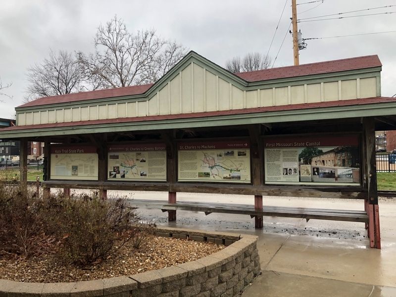
Other nearby markers. At least 8 other markers are within walking distance of this marker. First Missouri State Capitol (here, next to this marker); St. Charles Points of Interest (here, next to this marker); Lewis and Clark in Missouri (here, next to this marker); St. Charles to Greens Bottom (here, next to this marker); History of St. Charles (here, next to this marker); First State Capitol of Missouri (within shouting distance of this marker); 136 South Main (about 300 feet away, measured in a direct line); 130 South Main (about 300 feet away). Touch for a list and map of all markers in St. Charles.
Credits. This page was last revised on March 23, 2021. It was originally submitted on March 23, 2021, by Devry Becker Jones of Washington, District of Columbia. This page has been viewed 236 times since then and 49 times this year. Photos: 1, 2. submitted on March 23, 2021, by Devry Becker Jones of Washington, District of Columbia.

