Near Whitehall in Grimes County, Texas — The American South (West South Central)
Union Grove Baptist Church
Photographed by James Hulse, March 20, 2021
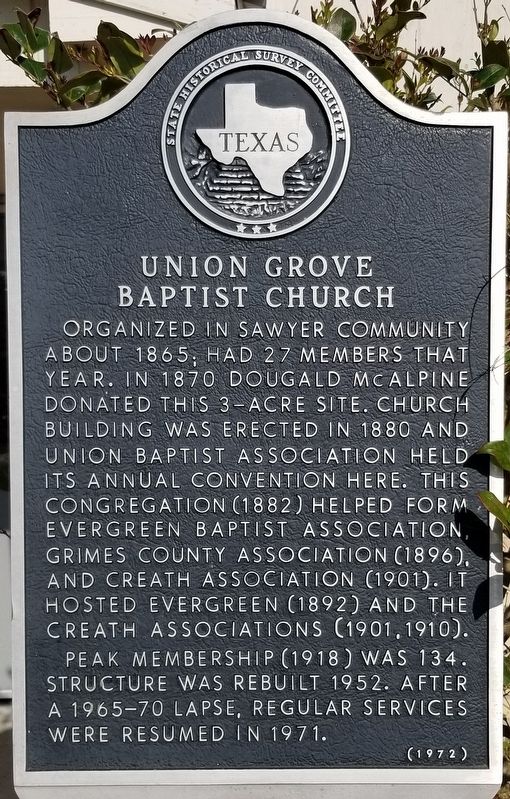
1. Union Grove Baptist Church Marker
Organized in Sawyer community about 1865; had 27 members that year. In 1870 Dougald McAlpine donated this 3 - acre site. Church building was erected in 1880 and Union Baptist Association held its annual convention here. This congregation (1882) helped form Evergreen Baptist Association, Grimes County Association (1896), and Creath Association (1901). It hosted Evergreen (1892) and the Creath Associations (1901, 1910).
Peak membership (1918) was 134. Structure was rebuilt 1952. After a 1965-70 lapse, regular services were resumed in 1971.
Erected 1972 by State Historical Survey Committee. (Marker Number 8623.)
Topics. This historical marker is listed in this topic list: Religion & Religious Structures. A significant historical year for this entry is 1865.
Location. 30° 17.271′ N, 95° 58.211′ W. Marker is near Whitehall, Texas, in Grimes County. It can be reached from Union Grove Baptist Church Road 0.1 miles east of Farm to Market Road 362. Touch for map. Marker is at or near this postal address: 15301 FM 362, Navasota TX 77868, United States of America. Touch for directions.

Regionally, this marker is in the Prairies & Lakes Region. It is also in the American South. Globally, it is in North America, a Gulf of Mexico state, the Western Hemisphere, the Western World, and the Anglosphere. Historically, it finds itself in what was once New Spain, the Republic of Texas, one of the Confederate States of America, and the Antebellum South.
Other nearby markers. At least 8 other markers are within 6 miles of this marker, measured as the crow flies: White Hall School (approx. ¾ mile away); Jared Ellison Groce (approx. 2.3 miles away); Stoneham Methodist Church (approx. 5 miles away); Reid's Prairie Baptist Church (approx. 5 miles away); The Stoneham Cemetery (approx. 5.6 miles away); John Montgomery
this page online

Photographed by James Hulse, March 20, 2021
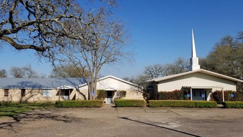
2. Union Grove Baptist Church and Marker
Photographed by James Hulse, March 20, 2021
3. The view of the Union Grove Baptist Church and Marker from the parking lot
Credits. This page was last revised on March 24, 2021. It was originally submitted on March 24, 2021, by James Hulse of Medina, Texas. This page has been viewed 480 times since then and 50 times this year. Photos: 1, 2, 3. submitted on March 24, 2021, by James Hulse of Medina, Texas.
