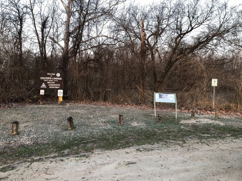
Near New Haven in Franklin County, Missouri — The American Midwest (Upper Plains)
Scouting and Hunting on Shore
The Journey of Lewis & Clark: Colter's Landing Access
— Lewis and Clark National Historic Trail —
His (John Colter's) veracity was never questioned among us and his character was that of a true American backwoodsman. He was about thirty-five years of age, five feet ten inches in height and wore an open, ingenious, and pleasing countenance of the Daniel Boone stamp. Nature had formed him, like Boone, for hardy endurance of fatigue, privations and perils.
Thomas James, Three Years Among the Indians an Mexicans, 1846
Lewis and Clark's adventure went beyond boats on the river. A shore party with hunters on horses ranged a fair distance from the river. Private John Colter and other scouts moved ahead of the boats, warning of hazards, identifying campsites and foraging for game and camp supplies.
The river and times called for extreme adventurers, so Lewis and Clark recruited skilled backwoodsmen. William Clark enlisted strong men who were expert hunters and guides, accustomed to hardship. Selected as one of the nine young men from Kentucky, Colter started out as a boatman, but was more talented as a scout. He became a valued hunter, woodsman and negotiator with the native tribes.
As the expedition returned, Colter went west to join the fur trade, then later worked with Clark to complete the expedition's maps. After becoming one of the first mountain men, Colter returned
to Missouri in 1810 and farmed along Boeuf Creek. Colter traveled this creek, hunting and fishing along its banks, near the trails of today's adventurers.
May the 26th Sattarday 1804.
Set out at 7 o'Cock after a heavy shour of rain (George Drewyer & John Shields, sent by Land with the two horses with directions to proceed on one day & hunt the next) … great Deal of Deer sign on the Bank one man out hunting …
William Clark
Topics and series. This historical marker is listed in these topic lists: Exploration • Settlements & Settlers • Waterways & Vessels. In addition, it is included in the Lewis & Clark Expedition series list. A significant historical year for this entry is 1846.
Location. 38° 35.355′ N, 91° 9.771′ W. Marker is near New Haven, Missouri, in Franklin County. Marker is on State Highway 100, 0.1 miles east of Buchheit Road, on the right when traveling west. Touch for map. Marker is at or near this postal address: 8561 Hwy 100, New Haven MO 63068, United States of America. Touch for directions.
Other nearby markers. At least 8 other markers are within 4 miles of this marker, measured as the crow flies. Newport (approx. 2.6 miles away); "Boeuf Creek" (approx. 3.2 miles away); "The Mighty Missouri" (approx. 3.2 miles away); The Iron Horse Arrives (approx. 3.2 miles away); Historic New Haven (approx. 3.2
Credits. This page was last revised on March 24, 2021. It was originally submitted on March 24, 2021, by Devry Becker Jones of Washington, District of Columbia. This page has been viewed 113 times since then and 19 times this year. Photos: 1, 2. submitted on March 24, 2021, by Devry Becker Jones of Washington, District of Columbia.

