Pierre Hill Historic District
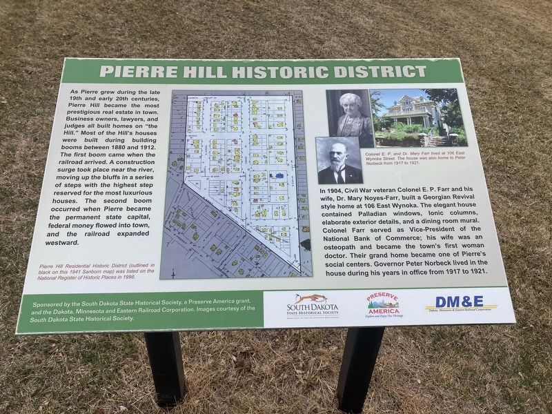
In 1904, Civil War veteran Colonel E. P. Farr and his wife, Dr. Mary Noyes-Farr, built a Georgian Revival
style home at 106 East Wynoka. The elegant house
contained Palladian windows, lonic columns,
elaborate exterior details, and a dining room mural. Colonel Farr served as Vice-President of the National Bank of Commerce; his wife was an osteopath and became the town's first woman
doctor. Their grand home became one of Pierre's social centers. Governor Peter Norbeck lived in the
house during his years in office from 1917 to 1921. Captions:
Pierre Hill Residential Historic District (outlined in
black on this 1941 Sanborn map) was listed on the
National Register of Historic Places in 1998.
Colonel E. P.
and Dr. Mary Farr lived at 106 East
Wynoka Street. The house was also home to Peter
Norbeck from 1917 to 1921.
Erected by South Dakota State Historical Society; Dakota, Minnesota and Eastern Railroad Corporation.
Topics. This historical marker is listed in these topic lists: Architecture • Industry & Commerce • Railroads & Streetcars. A significant historical year for this entry is 1880.
Location. 44° 22.344′ N, 100° 21.127′ W. Marker is in Pierre, South Dakota, in Hughes County. Marker is at the intersection of West Oak Street and West Broadway Ave, on the left when traveling west on West Oak Street. Touch for map. Marker is at or near this postal address: 269 W Oak St, Pierre SD 57501, United States of America. Touch for directions.
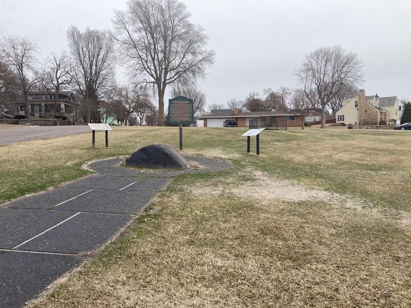
Other nearby markers. At least 8 other markers are within walking distance of this marker. Mateer Park (here, next to this marker); John Sutherland and the Capital Fights (approx. 0.2 miles away); First and Only Hanging in Hughes County (approx. ¼ mile away); The Old Hughes County Court House (approx. ¼ mile away); Hughes County Courthouse / Site of First Library in Pierre (approx. ¼ mile away); Charles Hyde's Legacy (approx. 0.3 miles away); Dedicated to You, A Free Citizen in a Free Land (approx. half a mile away); South Dakota State Capitol (approx. half a mile away). Touch for a list and map of all markers in Pierre.
Credits. This page was last revised on March 25, 2021. It was originally submitted on March 24, 2021, by Connor Olson of Kewaskum, Wisconsin. This page has been viewed 149 times since then and 11 times this year. Photos: 1, 2. submitted on March 24, 2021, by Connor Olson of Kewaskum, Wisconsin. • Mark Hilton was the editor who published this page.

