Columbia in Boone County, Missouri — The American Midwest (Upper Plains)
Tibbs Building
African American Heritage Trail
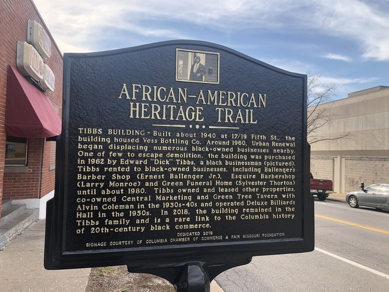
Tibbs Building — Built about 1940 at 17/19 Fifth St., the building housed Vess Bottling Co. Around 1960, Urban Renewal began displacing numerous black-owned businesses nearby. One of few to escape demolition, the building was purchased in 1962 by Edward "Dick" Tibbs, a black businessman (pictured). Tibbs rented to black-owned businesses, including Ballenger's Barber Shop (Ernest Ballenger Jr.), Esquire Barbershop (Larry Monroe) and Green Funeral Home (Sylvester Thornton) until about 1980. Tibbs owned and leased other properties, co-owned Central Marketing and Green Tree Tavern with Alvin Coleman in the 1930s-40s and operated Deluxe Billiards Hall in the 1950s. In 2018, the building remained in the Tibbs family and is a rare link to the Columbia history of 20th-century black commerce.
Erected 2019 by Sharp End Heritage Committee, Economic Development Inc., City of Columbia; signage courtesy of Columbia Chamber of Commerce & Fair Missouri Foundation.
Topics and series. This historical marker is listed in these topic lists: African Americans • Entertainment • Industry & Commerce. In addition, it is included
this page online
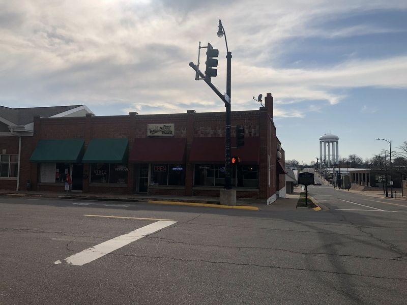
Location. 38° 57.156′ N, 92° 19.918′ W. Marker is in Columbia, Missouri, in Boone County. It is at the intersection of East Walnut Street and North 5th Street, on the right when traveling east on East Walnut Street. Touch for map. Marker is at or near this postal address: 19 N 5th St, Columbia MO 65201, United States of America. Touch for directions.

Regionally, this marker is in Little Dixie and in the Missouri River Corridor. It is also in the American Midwest, in the Lewis & Clark Corridor, and in the Corn Belt. Globally, it is in North America, the Western Hemisphere, the Western World, and the Anglosphere. Historically, it finds itself in what was once the territory of the Mississippian Culture, the Louisiana Purchase, and the Antebellum South.
Other nearby markers. At least 8 other markers are within walking distance of this marker: Sharp End (within shouting distance of this marker); African-American Heritage Trail (within shouting distance of this marker); a different marker also named Sharp End
Credits. This page was last revised on September 13, 2021. It was originally submitted on March 26, 2021, by Devry Becker Jones of Washington, District of Columbia. This page has been viewed 678 times since then and 72 times this year. Photos: 1, 2. submitted on March 26, 2021, by Devry Becker Jones of Washington, District of Columbia.
