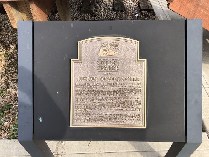
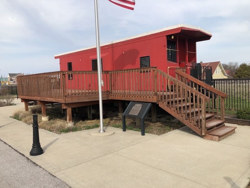
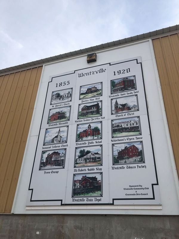
History of Wentzville
City of Wentzville Village Center, Inc. 1872
In 1855, William M. Allen donated land to establish a new community in St. Charles County. Allen laid-out the town, which consisted of a narrow tract of ground seven blocks long, lying east and west, and established a train station to serve the local community. He donated land and money for construction of the railroad and persuaded area farmers to do the same.
The first train arrived in town in 1857, the construction and building of the railroad line was under the direction of Erasmus L. Wentz. He was a principal engineer for the St. Louis, Kansas City and North Missouri Railroad. Presence of the railroad allowed the community to get local agricultural products to other areas, between 1850 and 1880. The area was primarily engaged in growing tobacco.
Wentz assisted Allen in surveying the town lots and streets. He was held in such high esteem by the town settlers and by Allen that they named the town after him. The City of Wentzville was incorporated as a fourth-class city in March 1872.
Erected by City of Wentzville Village Center, Inc.
Topics. This historical marker is listed in these topic lists: Agriculture • Railroads & Streetcars • Settlements & Settlers. A significant historical month for this entry is March 1872.
Location. 38° 48.693′ N, 90°
Other nearby markers. At least 8 other markers are within walking distance of this marker. Battle of Wentzville (about 400 feet away, measured in a direct line); Wentzville Tobacco Factory (about 800 feet away); World War II Honor Roll (approx. 0.2 miles away); Bicentennial Park (approx. 0.2 miles away); Vietnam War Memorial (approx. ¼ mile away); The Nation's First Vietnam Memorial (approx. ¼ mile away); Wentzville Vietnam Veterans Memorial (approx. ¼ mile away); Afghanistan and Iraq War Memorial (approx. 0.3 miles away). Touch for a list and map of all markers in Wentzville.
Credits. This page was last revised on March 26, 2021. It was originally submitted on March 26, 2021, by Devry Becker Jones of Washington, District of Columbia. This page has been viewed 470 times since then and 97 times this year. Photos: 1, 2, 3. submitted on March 26, 2021, by Devry Becker Jones of Washington, District of Columbia.


